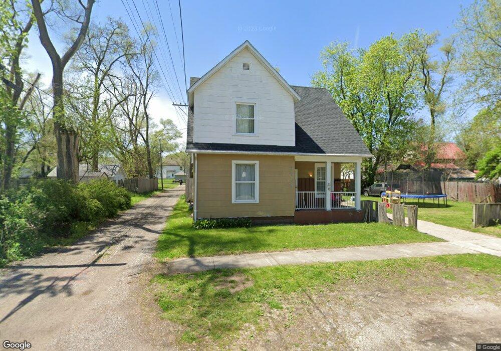
1715 10th St Elkhart, IN 46516
Impact NeighborhoodEstimated Value: $115,487 - $149,000
3
Beds
2
Baths
1,668
Sq Ft
$80/Sq Ft
Est. Value
About This Home
This home is located at 1715 10th St, Elkhart, IN 46516 and is currently estimated at $132,622, approximately $79 per square foot. 1715 10th St is a home located in Elkhart County with nearby schools including Hawthorne Elementary School, Roosevelt STEAM Academy, and West Side Middle School.
Ownership History
Date
Name
Owned For
Owner Type
Purchase Details
Closed on
Jul 25, 2012
Sold by
Gamble Richard
Bought by
Wells Fargo Bank Na
Current Estimated Value
Purchase Details
Closed on
Dec 21, 2006
Sold by
Obrien Virginia R
Bought by
Gamble Richard
Home Financials for this Owner
Home Financials are based on the most recent Mortgage that was taken out on this home.
Original Mortgage
$65,415
Interest Rate
6.27%
Mortgage Type
FHA
Create a Home Valuation Report for This Property
The Home Valuation Report is an in-depth analysis detailing your home's value as well as a comparison with similar homes in the area
Home Values in the Area
Average Home Value in this Area
Purchase History
| Date | Buyer | Sale Price | Title Company |
|---|---|---|---|
| Wells Fargo Bank Na | $15,000 | None Available | |
| Gamble Richard | -- | Land Grant Title Group Inc |
Source: Public Records
Mortgage History
| Date | Status | Borrower | Loan Amount |
|---|---|---|---|
| Previous Owner | Gamble Richard | $65,415 |
Source: Public Records
Tax History Compared to Growth
Tax History
| Year | Tax Paid | Tax Assessment Tax Assessment Total Assessment is a certain percentage of the fair market value that is determined by local assessors to be the total taxable value of land and additions on the property. | Land | Improvement |
|---|---|---|---|---|
| 2024 | $1,165 | $56,800 | -- | $56,800 |
| 2022 | $1,165 | $47,800 | $8,300 | $39,500 |
| 2021 | $984 | $47,800 | $8,300 | $39,500 |
| 2020 | $1,047 | $47,800 | $8,300 | $39,500 |
| 2019 | $886 | $40,500 | $4,100 | $36,400 |
| 2018 | $842 | $38,200 | $4,100 | $34,100 |
| 2017 | $844 | $38,200 | $4,100 | $34,100 |
| 2016 | $842 | $38,200 | $4,100 | $34,100 |
| 2014 | $763 | $35,800 | $4,100 | $31,700 |
| 2013 | $748 | $37,400 | $12,900 | $24,500 |
Source: Public Records
Map
Nearby Homes
- 919 W Wolf Ave
- 731 W Blaine Ave
- 714 W Blaine Ave
- 1007 Mason St
- 421 W Garfield Ave
- 409 W Wolf Ave
- 1309 Harrison St
- 721 Harrison St
- 2341 Southdale Dr
- 711 W Marion St
- 607 W Marion St
- 1011 Benham Ct
- 311 Hillside Ct
- County Road 9th St
- 1202 S Shore Dr
- 529 S 2nd St
- 419 W High St
- 326 W Franklin St
- 1529 Okema St
- Lot 34 Auburn Estates
- 1007 W Cleveland Ave
- 1001 W Cleveland Ave
- 1011 W Cleveland Ave
- 931 W Cleveland Ave
- 1729 10th St
- 1006 W Wolf Ave
- 1015 W Cleveland Ave
- 1010 W Wolf Ave
- 1718 10th St
- 1016 W Wolf Ave
- 925 W Cleveland Ave
- 1021 W Cleveland Ave
- 1629 10th St
- 1018 W Wolf Ave
- 1728 10th St
- 919 W Cleveland Ave
- 1010 W Cleveland Ave
- 918 W Wolf Ave
- 934 W Cleveland Ave
- 1025 W Cleveland Ave