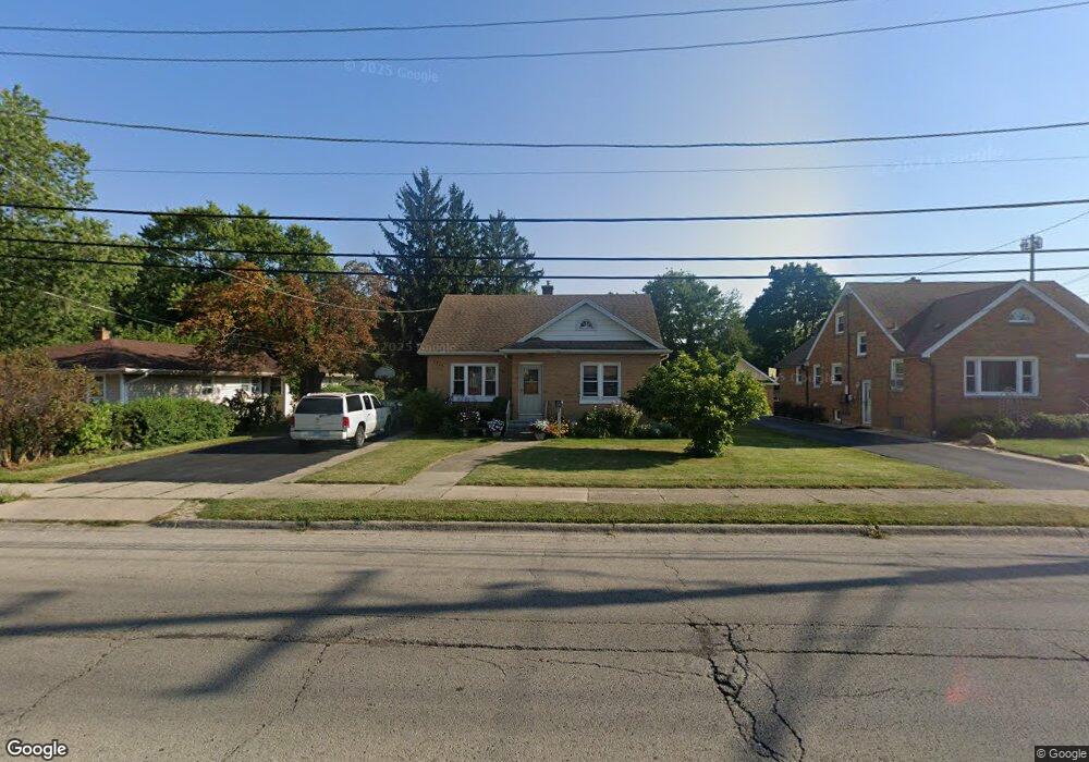
1715 10th St Waukegan, IL 60085
Lyon Acres NeighborhoodEstimated Value: $190,000 - $210,000
2
Beds
1
Bath
976
Sq Ft
$208/Sq Ft
Est. Value
About This Home
This home is located at 1715 10th St, Waukegan, IL 60085 and is currently estimated at $203,370, approximately $208 per square foot. 1715 10th St is a home located in Lake County with nearby schools including Clearview Elementary School, John R Lewis Middle School, and Waukegan High School.
Ownership History
Date
Name
Owned For
Owner Type
Purchase Details
Closed on
Jun 9, 1995
Sold by
Kancilja Robert
Bought by
Alcala Javier and Alcala Angelina
Current Estimated Value
Home Financials for this Owner
Home Financials are based on the most recent Mortgage that was taken out on this home.
Original Mortgage
$81,544
Interest Rate
8.26%
Mortgage Type
FHA
Create a Home Valuation Report for This Property
The Home Valuation Report is an in-depth analysis detailing your home's value as well as a comparison with similar homes in the area
Home Values in the Area
Average Home Value in this Area
Purchase History
| Date | Buyer | Sale Price | Title Company |
|---|---|---|---|
| Alcala Javier | $82,000 | Chicago Title Insurance Co |
Source: Public Records
Mortgage History
| Date | Status | Borrower | Loan Amount |
|---|---|---|---|
| Closed | Alcala Javier | $81,544 |
Source: Public Records
Tax History Compared to Growth
Tax History
| Year | Tax Paid | Tax Assessment Tax Assessment Total Assessment is a certain percentage of the fair market value that is determined by local assessors to be the total taxable value of land and additions on the property. | Land | Improvement |
|---|---|---|---|---|
| 2024 | $1,984 | $56,766 | $22,811 | $33,955 |
| 2023 | $2,851 | $46,588 | $18,721 | $27,867 |
| 2022 | $2,851 | $40,556 | $14,754 | $25,802 |
| 2021 | $2,712 | $40,196 | $13,160 | $27,036 |
| 2020 | $3,507 | $37,447 | $12,260 | $25,187 |
| 2019 | $3,478 | $34,314 | $11,234 | $23,080 |
| 2018 | $3,962 | $37,411 | $9,938 | $27,473 |
| 2017 | $3,803 | $33,098 | $8,792 | $24,306 |
| 2016 | $3,474 | $28,761 | $7,640 | $21,121 |
| 2015 | $3,254 | $25,742 | $6,838 | $18,904 |
| 2014 | $2,649 | $21,434 | $4,217 | $17,217 |
| 2012 | $2,603 | $23,222 | $4,569 | $18,653 |
Source: Public Records
Map
Nearby Homes
- 1712 11th St
- 819 S Fulton Ave
- 1511 14th St
- 1244 Victoria Ave
- 1521 Seymour Ave
- 724 10th St
- 1210 Park Ave
- 815 Prescott St
- 910 Cummings Ave
- 1423 Victoria Ave
- 1617 Grove Ave
- 720 13th St
- 1301 Park Ave
- 1101 Adams St
- 1535 Glenn Dr
- 1102 Wadsworth Ave
- 631 8th St
- 842 Wadsworth Ave
- 1542 Victoria Ave
- 446 S Jackson St
- 1723 10th St
- 1711 10th St
- 1001 S Elmwood Ave
- 1714 10th St
- 1703 10th St
- 1720 10th St
- 1728 10th St
- 1712 10th St
- 1701 10th St
- 1021 S Elmwood Ave
- 1021 S Elmwood Ave Unit B
- 1706 10th St
- 933 S Elmwood Ave
- 1623 10th St
- 1704 10th St
- 1619 10th St
- 929 S Elmwood Ave
- 1615 10th St
- 1029 S Elmwood Ave
- 1630 10th St