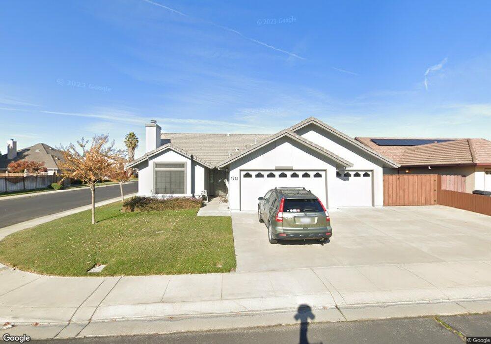
1715 Brookside Dr Manteca, CA 95336
Estimated Value: $527,124 - $610,000
3
Beds
2
Baths
1,772
Sq Ft
$319/Sq Ft
Est. Value
About This Home
This home is located at 1715 Brookside Dr, Manteca, CA 95336 and is currently estimated at $564,781, approximately $318 per square foot. 1715 Brookside Dr is a home located in San Joaquin County with nearby schools including Joshua Cowell Elementary School, Manteca High School, and St. Anthony's Catholic School.
Ownership History
Date
Name
Owned For
Owner Type
Purchase Details
Closed on
Aug 29, 2019
Sold by
Schneider Delmer R and Schneider Sandra L
Bought by
Schneider Delmer Ronald and Schneider Sandra Leonor
Current Estimated Value
Purchase Details
Closed on
Jul 25, 1996
Sold by
Meintasis Constance Ann and Button James H
Bought by
Schneider Delmer R and Schneider Sandra L
Home Financials for this Owner
Home Financials are based on the most recent Mortgage that was taken out on this home.
Original Mortgage
$82,050
Outstanding Balance
$5,974
Interest Rate
8.32%
Estimated Equity
$558,807
Create a Home Valuation Report for This Property
The Home Valuation Report is an in-depth analysis detailing your home's value as well as a comparison with similar homes in the area
Purchase History
| Date | Buyer | Sale Price | Title Company |
|---|---|---|---|
| Schneider Delmer Ronald | -- | None Available | |
| Schneider Delmer R | $161,500 | Old Republic Title Company |
Source: Public Records
Mortgage History
| Date | Status | Borrower | Loan Amount |
|---|---|---|---|
| Open | Schneider Delmer R | $82,050 |
Source: Public Records
Tax History
| Year | Tax Paid | Tax Assessment Tax Assessment Total Assessment is a certain percentage of the fair market value that is determined by local assessors to be the total taxable value of land and additions on the property. | Land | Improvement |
|---|---|---|---|---|
| 2025 | $2,851 | $262,196 | $65,140 | $197,056 |
| 2024 | $2,769 | $257,056 | $63,863 | $193,193 |
| 2023 | $2,734 | $252,016 | $62,611 | $189,405 |
| 2022 | $2,692 | $247,076 | $61,384 | $185,692 |
| 2021 | $2,661 | $242,232 | $60,181 | $182,051 |
| 2020 | $2,553 | $239,749 | $59,564 | $180,185 |
| 2019 | $2,518 | $235,049 | $58,397 | $176,652 |
| 2018 | $2,483 | $230,441 | $57,252 | $173,189 |
| 2017 | $2,446 | $225,924 | $56,130 | $169,794 |
| 2016 | $2,385 | $221,496 | $55,030 | $166,466 |
| 2014 | $2,215 | $213,897 | $53,142 | $160,755 |
Source: Public Records
Map
Nearby Homes
- 536 Pestana Ave
- 1250 Slayton Dr
- 1058 Spring Meadow Dr
- 1275 Armstrong Dr
- 1815 Azure Ct
- 1134 Sangria Ln
- 1253 E Louise Ave
- 150 Pestana Ave Unit 124
- 150 Pestana Ave Unit 111
- 150 Pestana Ave Unit 137
- 150 Pestana Ave Unit 99
- 1152 Laureto St
- 2185 Garden Circle Dr W
- 277 Garden Circle Dr E
- 311 Charles Ave
- 380 Garden Circle Dr E
- 1171 Napa Valley Ave
- 16590 S Austin Rd
- 17600 S Austin Rd
- 930 Palomino St
- 1731 Brookside Dr
- 1153 Ambrose Dr
- 1187 Ambrose Dr
- 423 Walcott St
- 456 Walcott St
- 1168 Ambrose Dr
- 1171 Ambrose Dr
- 1199 Ambrose Dr
- 417 Walcott St
- 1150 Ambrose Dr
- 1130 Ambrose Dr
- 475 Walcott St
- 442 Walcott St
- 411 Walcott St
- 467 Walcott St
- 688 Woodside Way
- 1687 Brookside Dr
- 1747 Brookside Dr
- 696 Woodside Way
- 1708 Brookside Dr
Your Personal Tour Guide
Ask me questions while you tour the home.