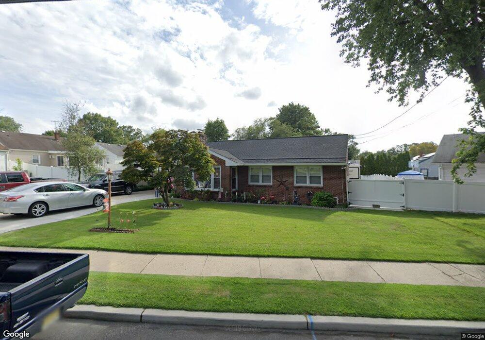
1715 Cove Rd Pennsauken, NJ 08110
Estimated Value: $294,000 - $345,799
3
Beds
2
Baths
1,461
Sq Ft
$219/Sq Ft
Est. Value
About This Home
This home is located at 1715 Cove Rd, Pennsauken, NJ 08110 and is currently estimated at $320,200, approximately $219 per square foot. 1715 Cove Rd is a home located in Camden County with nearby schools including Pennsauken High School, St. Peter Elementary School, and St. Cecilia School.
Ownership History
Date
Name
Owned For
Owner Type
Purchase Details
Closed on
Apr 3, 2009
Sold by
Brown Iris
Bought by
Rivera Ida L
Current Estimated Value
Home Financials for this Owner
Home Financials are based on the most recent Mortgage that was taken out on this home.
Original Mortgage
$106,750
Outstanding Balance
$67,483
Interest Rate
4.94%
Mortgage Type
Purchase Money Mortgage
Estimated Equity
$252,717
Create a Home Valuation Report for This Property
The Home Valuation Report is an in-depth analysis detailing your home's value as well as a comparison with similar homes in the area
Home Values in the Area
Average Home Value in this Area
Purchase History
| Date | Buyer | Sale Price | Title Company |
|---|---|---|---|
| Rivera Ida L | $152,500 | -- |
Source: Public Records
Mortgage History
| Date | Status | Borrower | Loan Amount |
|---|---|---|---|
| Open | Rivera Ida L | $106,750 |
Source: Public Records
Tax History Compared to Growth
Tax History
| Year | Tax Paid | Tax Assessment Tax Assessment Total Assessment is a certain percentage of the fair market value that is determined by local assessors to be the total taxable value of land and additions on the property. | Land | Improvement |
|---|---|---|---|---|
| 2025 | $7,481 | $328,600 | $55,900 | $272,700 |
| 2024 | $7,337 | $171,900 | $43,600 | $128,300 |
| 2023 | $7,337 | $171,900 | $43,600 | $128,300 |
| 2022 | $6,634 | $171,900 | $43,600 | $128,300 |
| 2021 | $6,812 | $171,900 | $43,600 | $128,300 |
| 2020 | $6,102 | $171,900 | $43,600 | $128,300 |
| 2019 | $6,173 | $171,900 | $43,600 | $128,300 |
| 2018 | $6,206 | $171,900 | $43,600 | $128,300 |
| 2017 | $6,124 | $171,900 | $43,600 | $128,300 |
| 2016 | $6,014 | $171,900 | $43,600 | $128,300 |
| 2015 | $6,193 | $171,900 | $43,600 | $128,300 |
| 2014 | $6,051 | $110,500 | $25,800 | $84,700 |
Source: Public Records
Map
Nearby Homes
- 6116 Pleasant Ave
- 6251 Lincoln Ave
- 1765 Hillcrest Ave
- 1762 Lexington Ave
- 2217 Hillcrest Ave
- 4950 Pleasant Ave
- 1666 Browning Rd
- 2254 Hollinshed Ave
- 1524 Browning Rd
- 1765 49th St
- 2154 Browning Rd
- 1519 48th St
- 6134 Grant Ave
- 4741 River Rd
- 2429 Norwood Ave
- 1828 47th St
- 4716 River Rd
- 1858 47th St
- 446 47th St
- 6702 Grant Ave
- 6164 Pleasant Ave
- 6169 Amon Ave
- 6163 Amon Ave
- 6156 Pleasant Ave
- 6177 Amon Ave
- 6155 Amon Ave
- 6149 Amon Ave
- 6146 Pleasant Ave
- 6141 Amon Ave
- 6136 Pleasant Ave
- 6135 Amon Ave
- 6155 Pleasant Ave
- 6170 Amon Ave
- 6176 Amon Ave
- 6162 Amon Ave
- 1627 Cove Rd
- 6145 Pleasant Ave
- 6182 Amon Ave
- 6156 Amon Ave
- 6129 Amon Ave