1715 Cypress Trace Dr Unit 133 Safety Harbor, FL 34695
Estimated Value: $259,000 - $320,000
2
Beds
2
Baths
1,190
Sq Ft
$243/Sq Ft
Est. Value
About This Home
This home is located at 1715 Cypress Trace Dr Unit 133, Safety Harbor, FL 34695 and is currently estimated at $289,198, approximately $243 per square foot. 1715 Cypress Trace Dr Unit 133 is a home located in Pinellas County with nearby schools including Countryside High School, Safety Harbor Elementary School, and Safety Harbor Middle School.
Ownership History
Date
Name
Owned For
Owner Type
Purchase Details
Closed on
Sep 30, 2019
Sold by
Zisk John
Bought by
Thomas Cherie Anne
Current Estimated Value
Home Financials for this Owner
Home Financials are based on the most recent Mortgage that was taken out on this home.
Original Mortgage
$166,822
Outstanding Balance
$150,605
Interest Rate
5.12%
Mortgage Type
FHA
Estimated Equity
$138,593
Purchase Details
Closed on
Jul 15, 2002
Sold by
Hesson Daryl L and Hesson Patricia A
Bought by
Zisk John
Home Financials for this Owner
Home Financials are based on the most recent Mortgage that was taken out on this home.
Original Mortgage
$82,400
Interest Rate
6.75%
Mortgage Type
New Conventional
Purchase Details
Closed on
Dec 17, 1997
Sold by
Neas Harold C and Neas Donna K
Bought by
Hesson Daryl L and Hesson Patricia A
Home Financials for this Owner
Home Financials are based on the most recent Mortgage that was taken out on this home.
Original Mortgage
$53,600
Interest Rate
7.26%
Mortgage Type
New Conventional
Create a Home Valuation Report for This Property
The Home Valuation Report is an in-depth analysis detailing your home's value as well as a comparison with similar homes in the area
Home Values in the Area
Average Home Value in this Area
Purchase History
| Date | Buyer | Sale Price | Title Company |
|---|---|---|---|
| Thomas Cherie Anne | $169,900 | Kleer Title Llc | |
| Zisk John | $103,000 | -- | |
| Hesson Daryl L | $67,000 | -- |
Source: Public Records
Mortgage History
| Date | Status | Borrower | Loan Amount |
|---|---|---|---|
| Open | Thomas Cherie Anne | $166,822 | |
| Previous Owner | Hesson Daryl L | $82,400 | |
| Previous Owner | Hesson Daryl L | $20,000 | |
| Previous Owner | Hesson Daryl L | $53,600 |
Source: Public Records
Tax History Compared to Growth
Tax History
| Year | Tax Paid | Tax Assessment Tax Assessment Total Assessment is a certain percentage of the fair market value that is determined by local assessors to be the total taxable value of land and additions on the property. | Land | Improvement |
|---|---|---|---|---|
| 2024 | $1,852 | $152,659 | -- | -- |
| 2023 | $1,852 | $148,213 | $0 | $0 |
| 2022 | $1,788 | $143,896 | $0 | $0 |
| 2021 | $1,801 | $139,705 | $0 | $0 |
| 2020 | $1,792 | $137,776 | $0 | $0 |
| 2019 | $2,337 | $125,630 | $0 | $125,630 |
| 2018 | $2,214 | $124,846 | $0 | $0 |
| 2017 | $2,098 | $120,890 | $0 | $0 |
| 2016 | $1,843 | $96,540 | $0 | $0 |
| 2015 | $1,816 | $99,662 | $0 | $0 |
| 2014 | $1,656 | $90,185 | $0 | $0 |
Source: Public Records
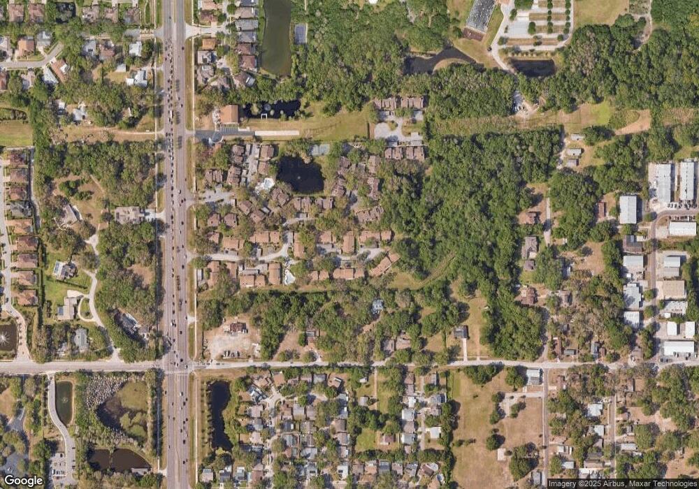
Map
Nearby Homes
- 1735 Lake Cypress Dr Unit 1703
- 19 Harbor Oaks Cir
- 34 Harbor Oaks Cir
- 2356 Messenger Cir
- 3037 Crest Dr
- 614 Pine St
- 0 Dr Ml King Jr St N
- 110 Woodcreek Dr S
- 1155 7th St N
- 304 Los Prados Dr Unit 512
- 931 Woodbridge Ct
- 217 Los Prados Dr Unit 217
- 247 Los Prados Dr Unit 1123
- 3036 Homestead Ct
- 3064 Homestead Oaks Dr
- 932 Woodbridge Ct
- 930 Woodbridge Ct
- 269 Los Prados Dr Unit 1011
- 915 Woodbridge Ct
- 1035 7th St N
- 1715 Cypress Trace Dr
- 1713 Cypress Trace Dr
- 1717 Cypress Trace Dr
- 1719 Cypress Trace Dr
- 1711 Cypress Trace Dr
- 1721 Cypress Trace Dr
- 1709 Cypress Trace Dr
- 1723 Cypress Trace Dr
- 1707 Cypress Trace Dr
- 1705 Cypress Trace Dr
- 1725 Cypress Trace Dr
- 1720 Cypress Trace Dr
- 1727 Cypress Trace Dr
- 1718 Cypress Trace Dr
- 1716 Cypress Trace Dr
- 1722 Cypress Trace Dr
- 1714 Cypress Trace Dr
- 1724 Cypress Trace Dr
- 1703 Cypress Trace Dr
- 1729 Cypress Trace Dr