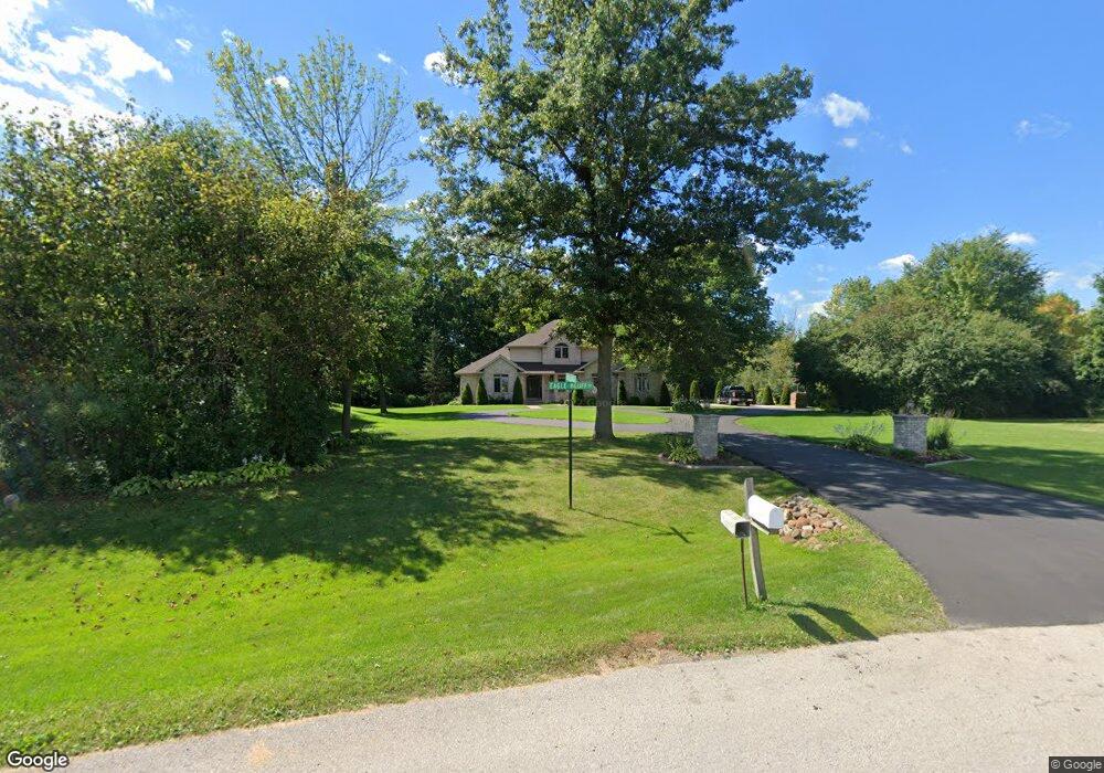
1715 Eagle Bluff Dr de Pere, WI 54115
Estimated Value: $700,554 - $796,000
4
Beds
5
Baths
3,487
Sq Ft
$219/Sq Ft
Est. Value
About This Home
This home is located at 1715 Eagle Bluff Dr, de Pere, WI 54115 and is currently estimated at $764,139, approximately $219 per square foot. 1715 Eagle Bluff Dr is a home located in Brown County with nearby schools including Westwood Elementary School, West De Pere Middle School, and West De Pere High School.
Ownership History
Date
Name
Owned For
Owner Type
Purchase Details
Closed on
Oct 28, 2011
Sold by
Lindbeck James S and Lindbeck Pamela J
Bought by
Edinger Bruce A and Edinger Tina M
Current Estimated Value
Home Financials for this Owner
Home Financials are based on the most recent Mortgage that was taken out on this home.
Original Mortgage
$237,900
Outstanding Balance
$159,181
Interest Rate
4.09%
Mortgage Type
New Conventional
Estimated Equity
$604,958
Create a Home Valuation Report for This Property
The Home Valuation Report is an in-depth analysis detailing your home's value as well as a comparison with similar homes in the area
Home Values in the Area
Average Home Value in this Area
Purchase History
| Date | Buyer | Sale Price | Title Company |
|---|---|---|---|
| Edinger Bruce A | $339,900 | Bay Title |
Source: Public Records
Mortgage History
| Date | Status | Borrower | Loan Amount |
|---|---|---|---|
| Open | Edinger Bruce A | $237,900 |
Source: Public Records
Tax History
| Year | Tax Paid | Tax Assessment Tax Assessment Total Assessment is a certain percentage of the fair market value that is determined by local assessors to be the total taxable value of land and additions on the property. | Land | Improvement |
|---|---|---|---|---|
| 2025 | $7,563 | $489,500 | $82,200 | $407,300 |
| 2024 | $7,197 | $489,500 | $82,200 | $407,300 |
| 2023 | $6,639 | $489,500 | $82,200 | $407,300 |
| 2022 | $6,691 | $489,500 | $82,200 | $407,300 |
| 2021 | $6,733 | $489,500 | $82,200 | $407,300 |
| 2020 | $6,832 | $357,600 | $52,700 | $304,900 |
| 2019 | $6,752 | $357,600 | $52,700 | $304,900 |
| 2018 | $6,450 | $357,600 | $52,700 | $304,900 |
| 2017 | $6,498 | $357,600 | $52,700 | $304,900 |
| 2016 | $6,577 | $357,600 | $52,700 | $304,900 |
| 2015 | $6,596 | $357,600 | $52,700 | $304,900 |
| 2014 | $6,472 | $332,000 | $52,700 | $279,300 |
| 2013 | $6,472 | $332,000 | $52,700 | $279,300 |
Source: Public Records
Map
Nearby Homes
- 2557 Meadow Rose Ln
- 400 Brookline Ave
- 335 Brookline Ave
- 355 Brookline Ave
- 321 Brookline Ave
- 329 Brookline Ave
- 320 Brookline Ave
- 385 Brookline Ave
- 334 Brookline Ave
- 311 Brookline Ave
- 373 Brookline Ave
- 363 Brookline Ave
- 347 Brookline Ave
- 380 Brookline Ave
- 328 Brookline Ave
- 403 Brookline Ave
- 303 Brookline Ave
- 1728 Ballinamore Place
- 334 Lansdowne St
- 366 Lansdowne St
- 0 Emeu Chase Trail
- 2564 Emeu Chase Trail
- 2563 Emeu Chase Trail
- 1701 Eagle Bluff Dr
- 2560 Emeu Chase Trail
- 0 Eagle Bluff Dr
- 2559 Emeu Chase Trail
- 1685 Eagle Bluff Dr
- 2601 Sunrise River Ct
- 2594 Misty River Ln
- 2582 Misty River Ln
- 1669 Eagle Bluff Dr
- 2555 Emeu Chase Trail
- 2607 Sunrise River Ct
- 2602 Sunrise River Ct
- 2552 Emeu Chase Trail
- 2617 Sunrise River Ct
- 2566 Misty River Ln
- 2603 Misty River Ln
- 2626 Lost Dauphin Rd
Your Personal Tour Guide
Ask me questions while you tour the home.