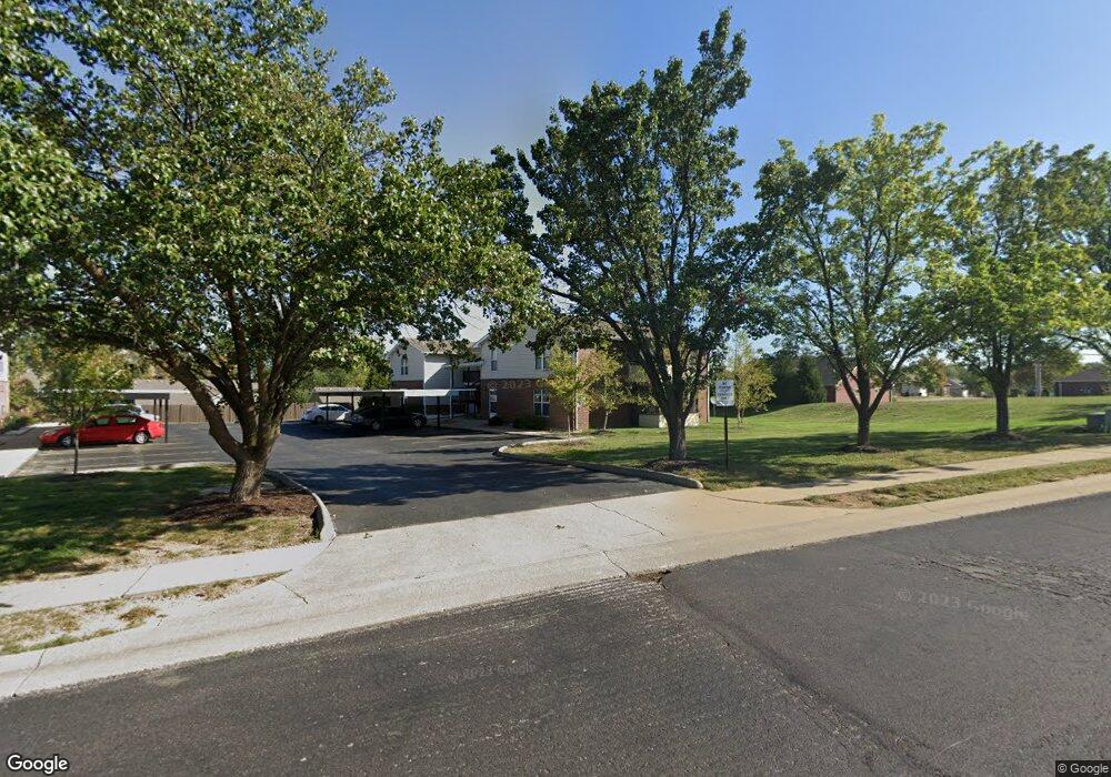
1715 Kittyhawk Dr Unit 1 Columbia, MO 65202
Northland-Parker NeighborhoodEstimated Value: $133,239 - $186,000
2
Beds
2
Baths
819
Sq Ft
$186/Sq Ft
Est. Value
About This Home
This home is located at 1715 Kittyhawk Dr Unit 1, Columbia, MO 65202 and is currently estimated at $152,060, approximately $185 per square foot. 1715 Kittyhawk Dr Unit 1 is a home located in Boone County with nearby schools including Blue Ridge Elementary School, Jefferson Middle School, and Rock Bridge High School.
Ownership History
Date
Name
Owned For
Owner Type
Purchase Details
Closed on
May 4, 2006
Sold by
Kevco Properties Llc
Bought by
Burnam Holding Companies Co
Current Estimated Value
Home Financials for this Owner
Home Financials are based on the most recent Mortgage that was taken out on this home.
Original Mortgage
$67,500
Outstanding Balance
$39,093
Interest Rate
6.4%
Mortgage Type
New Conventional
Estimated Equity
$112,967
Create a Home Valuation Report for This Property
The Home Valuation Report is an in-depth analysis detailing your home's value as well as a comparison with similar homes in the area
Home Values in the Area
Average Home Value in this Area
Purchase History
| Date | Buyer | Sale Price | Title Company |
|---|---|---|---|
| Burnam Holding Companies Co | -- | None Available |
Source: Public Records
Mortgage History
| Date | Status | Borrower | Loan Amount |
|---|---|---|---|
| Open | Burnam Holding Companies Co | $67,500 |
Source: Public Records
Tax History Compared to Growth
Tax History
| Year | Tax Paid | Tax Assessment Tax Assessment Total Assessment is a certain percentage of the fair market value that is determined by local assessors to be the total taxable value of land and additions on the property. | Land | Improvement |
|---|---|---|---|---|
| 2025 | $855 | $14,516 | $950 | $13,566 |
| 2024 | $855 | $12,673 | $950 | $11,723 |
| 2023 | $848 | $12,673 | $950 | $11,723 |
| 2022 | $847 | $12,673 | $950 | $11,723 |
| 2021 | $849 | $12,673 | $950 | $11,723 |
| 2020 | $903 | $12,673 | $950 | $11,723 |
| 2019 | $903 | $12,673 | $950 | $11,723 |
| 2018 | $909 | $0 | $0 | $0 |
| 2017 | $898 | $12,673 | $950 | $11,723 |
| 2016 | $922 | $12,673 | $950 | $11,723 |
| 2015 | $851 | $12,673 | $950 | $11,723 |
| 2014 | $855 | $12,673 | $950 | $11,723 |
Source: Public Records
Map
Nearby Homes
- 2012 Garnet Dr
- 2203 Grizzly Ct
- 0 Vandiver Dr
- 2305 N Oakland Gravel Rd
- 1709 Blue Ridge Rd
- 1809 Blue Ridge Rd
- 3205 Sagegrass Ct
- 1912 Lovejoy Ln
- 2000 Allen Ln
- 2000 Allen Ln
- LOT 2 2000 Allen Ln
- 2000 Allen Ln
- 3417 Derby Ridge Dr
- 2705 Brown Station Rd
- 1302 Look Out Ct
- 1610 Sylvan Ln Unit 1612
- 2805 Brown Station Rd
- 1507 Sylvan Ln
- 3800 Saddlebrook Place Unit 408
- 3800 Saddlebrook Place Unit 503
- 1715 Kittyhawk Dr Unit 6
- 1715 Kittyhawk Dr Unit 5
- 1715 Kittyhawk Dr Unit 4
- 1715 Kittyhawk Dr Unit 3
- 1715 Kittyhawk Dr Unit 2
- 1715 Kittyhawk Dr
- 1715 Kitty Hawk Apt 1 Dr
- 1711 Kittyhawk Dr Unit 6
- 1711 Kittyhawk Dr Unit 5
- 1711 Kittyhawk Dr Unit 4
- 1711 Kittyhawk Dr Unit 3
- 1711 Kittyhawk Dr Unit 2
- 1711 Kittyhawk Dr Unit 1
- 1711 Kittyhawk Dr
- 2507 Parker St
- 1712 Gypsy Moth Dr
- 1710 Gypsy Moth Dr
- 1709 Kittyhawk Dr Unit 6
- 1709 Kittyhawk Dr Unit 5
- 1709 Kittyhawk Dr Unit 4