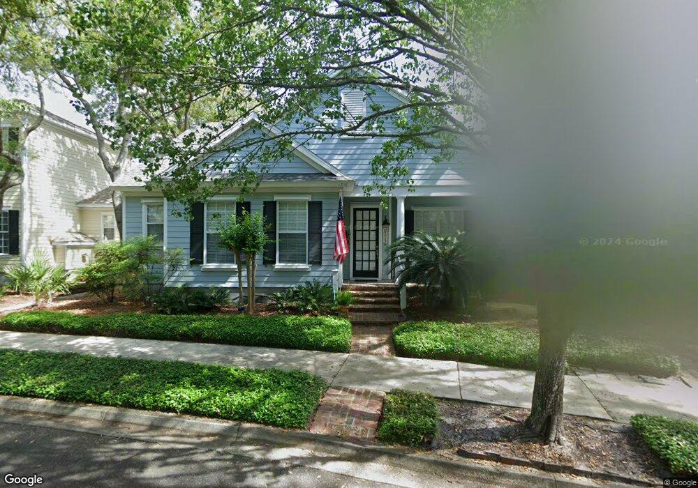
1715 Mcarthur St Unit 1 Fernandina Beach, FL 32034
Estimated Value: $888,000 - $948,000
3
Beds
3
Baths
2,485
Sq Ft
$366/Sq Ft
Est. Value
About This Home
This home is located at 1715 Mcarthur St Unit 1, Fernandina Beach, FL 32034 and is currently estimated at $908,322, approximately $365 per square foot. 1715 Mcarthur St Unit 1 is a home located in Nassau County with nearby schools including Southside Elementary School, Emma Love Hardee Elementary School, and Fernandina Beach Middle School.
Ownership History
Date
Name
Owned For
Owner Type
Purchase Details
Closed on
Jun 7, 2024
Sold by
Turk Jerry Wayne and Turk Janis Rae
Bought by
Turk Jerry Wayne and Turk Janis Rae
Current Estimated Value
Purchase Details
Closed on
Jun 8, 2001
Sold by
Brylen Homes Ltd
Bought by
Turk Jerry Wayne and Turk Janis Rae
Home Financials for this Owner
Home Financials are based on the most recent Mortgage that was taken out on this home.
Original Mortgage
$237,912
Interest Rate
6.5%
Mortgage Type
Construction
Create a Home Valuation Report for This Property
The Home Valuation Report is an in-depth analysis detailing your home's value as well as a comparison with similar homes in the area
Home Values in the Area
Average Home Value in this Area
Purchase History
| Date | Buyer | Sale Price | Title Company |
|---|---|---|---|
| Turk Jerry Wayne | $100 | None Listed On Document | |
| Turk Jerry Wayne | $41,900 | Stewart Title Jacksonville I |
Source: Public Records
Mortgage History
| Date | Status | Borrower | Loan Amount |
|---|---|---|---|
| Previous Owner | Turk Jerry Wayne | $237,912 |
Source: Public Records
Tax History Compared to Growth
Tax History
| Year | Tax Paid | Tax Assessment Tax Assessment Total Assessment is a certain percentage of the fair market value that is determined by local assessors to be the total taxable value of land and additions on the property. | Land | Improvement |
|---|---|---|---|---|
| 2024 | $5,316 | $339,163 | -- | -- |
| 2023 | $5,316 | $329,284 | $0 | $0 |
| 2022 | $5,003 | $319,693 | $0 | $0 |
| 2021 | $5,002 | $310,382 | $0 | $0 |
| 2020 | $5,047 | $306,097 | $0 | $0 |
| 2019 | $5,185 | $299,215 | $0 | $0 |
| 2018 | $5,008 | $293,636 | $0 | $0 |
| 2017 | $4,733 | $284,188 | $0 | $0 |
| 2016 | $4,692 | $278,343 | $0 | $0 |
| 2015 | $4,719 | $276,408 | $0 | $0 |
| 2014 | $4,708 | $274,214 | $0 | $0 |
Source: Public Records
Map
Nearby Homes
- 1592 Park Ln
- 1707 Park Ave
- 1541 Geddes Ln
- 1567 Olmsted Ln
- 1875 Howard Ln
- 1790 S 15th St
- 1827 Perimeter Park Rd Unit 204
- 1859 Perimeter Park Rd W
- 1789 S 15th St
- 1532 Lakeview Ln
- 1536 Lakeview Ln
- 1502 Northpark Dr
- 2116 Egret Ln
- 1830 Surf Side Dr
- 1511 Coastal Oaks Cir
- 2156 White Sands Way
- 2156 White Sands Way Unit 503
- 1850 Surf Side Dr
- 2270 Sadler Rd
- 2195 Sadler Rd
- 1719 Mcarthur St
- 1714 Park Ave
- 1710 Park Ave Unit 1
- 1703 Mcarthur St
- 1712 Mcarthur St
- 1706 Park Ave
- 1802 Park Ave
- 1708 Mcarthur St
- 1702 Park Ave
- 1716 Mcarthur St
- 1711 Mcarthur St
- 1704 Mcarthur St Unit 1
- 1704 Park Ave
- 1806 Mcarthur St
- 1630 Park
- 1630 Park Ave
- 1877 Gardenia St
- 1873 Gardenia St
- 1881 Gardenia St
- 1810 Mcarthur St Unit 1