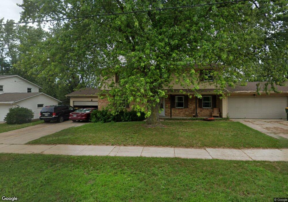
1715 Packerland Dr Unit 1717 Green Bay, WI 54304
MacArthur Heights NeighborhoodEstimated Value: $351,000 - $373,000
5
Beds
4
Baths
2,308
Sq Ft
$158/Sq Ft
Est. Value
About This Home
This home is located at 1715 Packerland Dr Unit 1717, Green Bay, WI 54304 and is currently estimated at $364,233, approximately $157 per square foot. 1715 Packerland Dr Unit 1717 is a home located in Brown County with nearby schools including MacArthur Elementary School, Lombardi Middle School, and Southwest High School.
Ownership History
Date
Name
Owned For
Owner Type
Purchase Details
Closed on
May 3, 2010
Sold by
Gryboski Roger R and Gryboski Catherine D
Bought by
The Oneida Tribe Of Indians Of Wisconsin
Current Estimated Value
Purchase Details
Closed on
Oct 29, 1997
Sold by
Gryboski Roger R and Gryboski Catherine D
Bought by
Roger R & Catherine D Gryboski Revocable
Create a Home Valuation Report for This Property
The Home Valuation Report is an in-depth analysis detailing your home's value as well as a comparison with similar homes in the area
Home Values in the Area
Average Home Value in this Area
Purchase History
| Date | Buyer | Sale Price | Title Company |
|---|---|---|---|
| The Oneida Tribe Of Indians Of Wisconsin | $150,000 | Bay Title | |
| Roger R & Catherine D Gryboski Revocable | -- | -- |
Source: Public Records
Tax History Compared to Growth
Tax History
| Year | Tax Paid | Tax Assessment Tax Assessment Total Assessment is a certain percentage of the fair market value that is determined by local assessors to be the total taxable value of land and additions on the property. | Land | Improvement |
|---|---|---|---|---|
| 2024 | $5,017 | $255,300 | $43,100 | $212,200 |
| 2023 | $4,863 | $255,300 | $43,100 | $212,200 |
| 2022 | $4,701 | $255,300 | $43,100 | $212,200 |
| 2021 | $4,178 | $171,200 | $34,800 | $136,400 |
| 2020 | $4,146 | $171,200 | $34,800 | $136,400 |
| 2019 | $4,051 | $171,200 | $34,800 | $136,400 |
| 2018 | $3,959 | $171,200 | $34,800 | $136,400 |
| 2017 | $3,891 | $171,200 | $34,800 | $136,400 |
| 2016 | $3,782 | $171,200 | $34,800 | $136,400 |
| 2015 | $3,749 | $171,200 | $34,800 | $136,400 |
| 2014 | $3,962 | $171,200 | $34,800 | $136,400 |
| 2013 | $3,962 | $171,200 | $34,800 | $136,400 |
Source: Public Records
Map
Nearby Homes
- 2550 He Nis Ra Ln
- 2640 He Nis Ra Ln
- 1433 Baumgart Rd Unit 1435
- 2441 Matchwood Ln
- 2439 W Point Rd
- 2044 Ann Ln
- 2060 Wintergreen Ct
- 2466 Parkwood Dr
- 2060 Trissino Way
- 1973 Knotty Pine Dr
- 1570 Mesa Dr
- 1514 Ashley Ct
- 1921 Beech Tree Dr
- 1471 Parkway Dr
- 1680 Cormier Rd
- 2768 Independence Dr
- 1450 Woodmont Way
- 2031 Bradbury Ln
- 1306 Nelson St Unit 1308
- 1779 9th St
- 1725 Packerland Dr
- 1723 Packerland Dr Unit 1
- 1705 Packerland Dr Unit 1707
- 1716 Saint Robert Dr
- 1720 Saint Robert Dr
- 1706 Saint Robert Dr
- 1701 Packerland Dr Unit 1703
- 1801 Packerland Dr Unit 1803
- 2608 Forestville Dr Unit 2610
- 1728 Saint Robert Dr
- 1626 Saint Robert Dr
- 1704 Packerland Dr Unit 1706
- 1815 Packerland Dr Unit 1817
- 1660 Packerland Dr
- 2605 Forestville Dr
- 1616 Saint Robert Dr
- 2614 Forestville Dr
- 1613 Packerland Dr
- 2571 Forestville Dr
- 1721 Saint Robert Dr