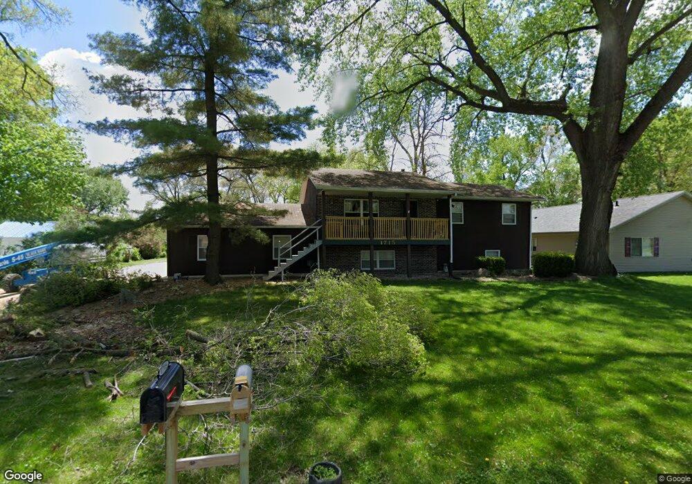
1715 Robin Rd Waterloo, IA 50701
Estimated Value: $195,000 - $221,819
2
Beds
3
Baths
1,180
Sq Ft
$177/Sq Ft
Est. Value
About This Home
This home is located at 1715 Robin Rd, Waterloo, IA 50701 and is currently estimated at $209,205, approximately $177 per square foot. 1715 Robin Rd is a home located in Black Hawk County with nearby schools including Becker Elementary School, Central Middle School, and West High School.
Ownership History
Date
Name
Owned For
Owner Type
Purchase Details
Closed on
Dec 31, 2020
Sold by
Sherbon Johnnie George and Sherbon Sandra Kay
Bought by
Haubrich Anthony R and Haubrich Nichol
Current Estimated Value
Home Financials for this Owner
Home Financials are based on the most recent Mortgage that was taken out on this home.
Original Mortgage
$109,250
Outstanding Balance
$97,283
Interest Rate
2.71%
Mortgage Type
New Conventional
Estimated Equity
$111,923
Create a Home Valuation Report for This Property
The Home Valuation Report is an in-depth analysis detailing your home's value as well as a comparison with similar homes in the area
Purchase History
| Date | Buyer | Sale Price | Title Company |
|---|---|---|---|
| Haubrich Anthony R | $115,000 | None Available |
Source: Public Records
Mortgage History
| Date | Status | Borrower | Loan Amount |
|---|---|---|---|
| Open | Haubrich Anthony R | $109,250 |
Source: Public Records
Tax History
| Year | Tax Paid | Tax Assessment Tax Assessment Total Assessment is a certain percentage of the fair market value that is determined by local assessors to be the total taxable value of land and additions on the property. | Land | Improvement |
|---|---|---|---|---|
| 2025 | $4,500 | $245,250 | $37,700 | $207,550 |
| 2024 | $4,500 | $217,700 | $37,700 | $180,000 |
| 2023 | $3,854 | $217,700 | $37,700 | $180,000 |
| 2022 | $2,976 | $184,390 | $37,700 | $146,690 |
| 2021 | $3,030 | $148,190 | $37,700 | $110,490 |
| 2020 | $3,110 | $148,410 | $31,900 | $116,510 |
| 2019 | $3,110 | $148,410 | $31,900 | $116,510 |
| 2018 | $2,926 | $140,000 | $31,900 | $108,100 |
| 2017 | $3,020 | $140,000 | $31,900 | $108,100 |
| 2016 | $2,978 | $140,000 | $31,900 | $108,100 |
| 2015 | $2,978 | $140,000 | $31,900 | $108,100 |
| 2014 | $3,036 | $140,000 | $31,900 | $108,100 |
Source: Public Records
Map
Nearby Homes
- 1839 Rush St
- 1266 Doreen Ave
- 1221 Downing Ave
- 1221 Julian Ave
- 1290 Scott Ave
- 1286 Scott Ave
- 1114 Eleanor Dr
- 1811 Sager Ave
- 2320 University Ave
- 819 Hanna Blvd
- 1044 Dundee Ave
- 712 Maxwell St
- 910 Campbell Ave
- 826 Home Park Blvd
- 915 Evergreen Ave
- 422 Hartman Ave
- 402 Black Hawk Rd
- 131 Axlewood Dr
- Lot 19 Mark Dr
- Lot 22 Mark Dr
Your Personal Tour Guide
Ask me questions while you tour the home.