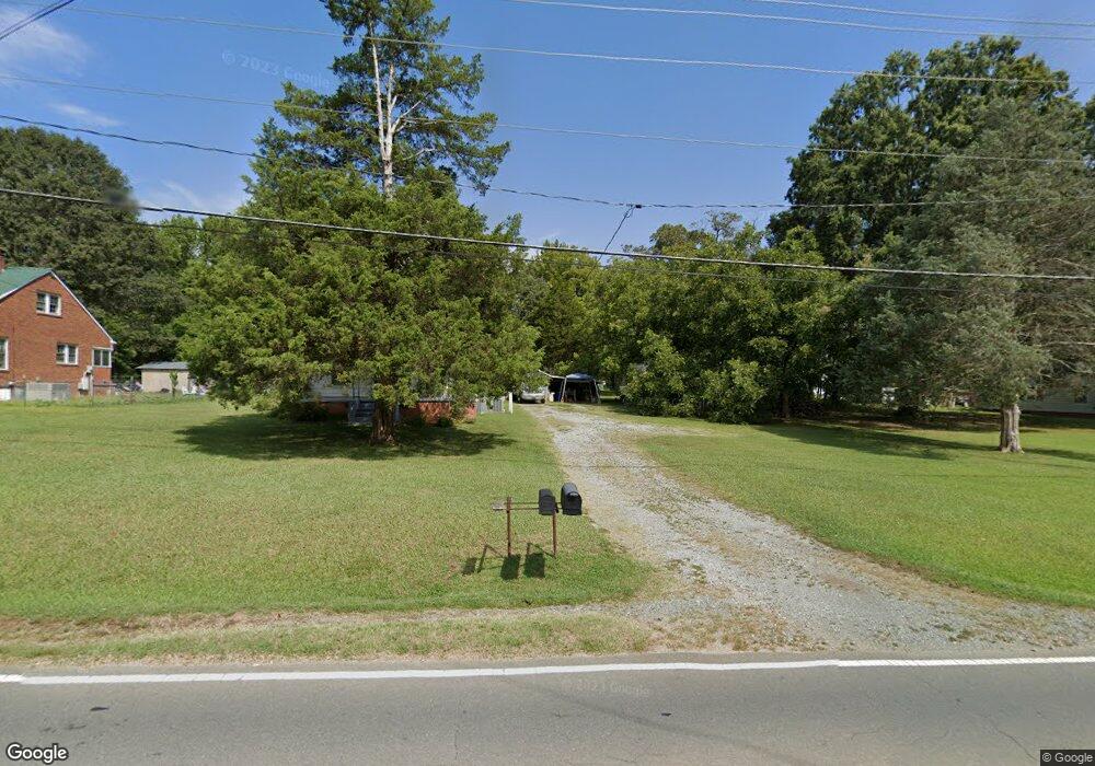
1715 Sharpe Rd Burlington, NC 27217
North Burlington NeighborhoodEstimated Value: $168,000 - $228,000
3
Beds
1
Bath
1,470
Sq Ft
$138/Sq Ft
Est. Value
About This Home
This home is located at 1715 Sharpe Rd, Burlington, NC 27217 and is currently estimated at $202,914, approximately $138 per square foot. 1715 Sharpe Rd is a home located in Alamance County with nearby schools including Hillcrest Elementary School, Western Alamance Middle School, and Western Alamance High School.
Ownership History
Date
Name
Owned For
Owner Type
Purchase Details
Closed on
Jul 5, 2007
Sold by
Tickle John Kennard
Bought by
Nadjadi Andrew R
Current Estimated Value
Home Financials for this Owner
Home Financials are based on the most recent Mortgage that was taken out on this home.
Original Mortgage
$54,000
Outstanding Balance
$33,486
Interest Rate
6.35%
Mortgage Type
New Conventional
Estimated Equity
$169,428
Create a Home Valuation Report for This Property
The Home Valuation Report is an in-depth analysis detailing your home's value as well as a comparison with similar homes in the area
Home Values in the Area
Average Home Value in this Area
Purchase History
| Date | Buyer | Sale Price | Title Company |
|---|---|---|---|
| Nadjadi Andrew R | $57,000 | -- |
Source: Public Records
Mortgage History
| Date | Status | Borrower | Loan Amount |
|---|---|---|---|
| Open | Nadjadi Andrew R | $54,000 |
Source: Public Records
Tax History Compared to Growth
Tax History
| Year | Tax Paid | Tax Assessment Tax Assessment Total Assessment is a certain percentage of the fair market value that is determined by local assessors to be the total taxable value of land and additions on the property. | Land | Improvement |
|---|---|---|---|---|
| 2025 | $669 | $114,558 | $24,868 | $89,690 |
| 2024 | $629 | $114,558 | $24,868 | $89,690 |
| 2023 | $584 | $114,558 | $24,868 | $89,690 |
| 2022 | $482 | $62,911 | $32,427 | $30,484 |
| 2021 | $488 | $62,911 | $32,427 | $30,484 |
| 2020 | $495 | $62,911 | $32,427 | $30,484 |
| 2019 | $491 | $62,911 | $32,427 | $30,484 |
| 2018 | $0 | $62,911 | $32,427 | $30,484 |
| 2017 | $434 | $62,911 | $32,427 | $30,484 |
| 2016 | $474 | $68,748 | $32,427 | $36,321 |
| 2015 | $461 | $68,942 | $32,427 | $36,515 |
| 2014 | $427 | $68,942 | $32,427 | $36,515 |
Source: Public Records
Map
Nearby Homes
- 1708 Longshadow Dr
- 1740 Longshadow Dr
- 713 Tillman St
- 1205 Jackson St
- 501 Morgan Terrace
- 1322 Elm St
- 1204 Avondale Dr
- 1725 Glenn St
- 1615 Preston St
- 804 S Ridge Rd
- 234 Foster St
- 237 Foster St
- TBD Hooker St
- 191 Prairie Ct
- 705 Durham St
- 2068 Dresden Dr
- 1016 Rauhut St
- TBD Dudley St
- 259 Brassfield Dr
- 253 Plains Dr
- 1721 Sharpe Rd
- 1701 Sharpe Rd
- 1716 Sharpe Rd
- 1708 Sharpe Rd
- 1735 Sharpe Rd
- 837 Tillman St
- 1728 Sharpe Rd
- 1734 Sharpe Rd
- 1506 Sharpe Rd
- 1504 Sharpe Rd
- 1738 Sharpe Rd
- 1503 Sharpe Rd
- 832 Tillman St
- 1709 Northside Dr
- 1703 Northside Dr
- 1713 Northside Dr
- 1717 Northside Dr
- 1501 Sharpe Rd
- 1721 Northside Dr
- 1020 Lakeside Ave