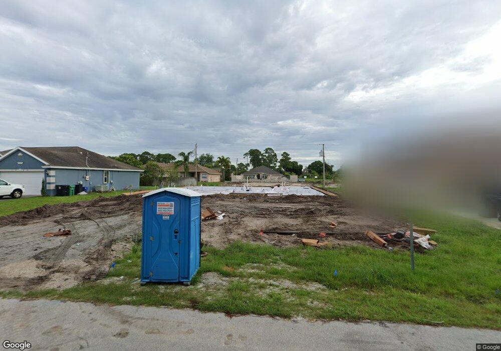
1715 SW Apache Ave Port Saint Lucie, FL 34953
Oak Hammock NeighborhoodEstimated Value: $362,000 - $536,888
3
Beds
2
Baths
3,116
Sq Ft
$148/Sq Ft
Est. Value
About This Home
This home is located at 1715 SW Apache Ave, Port Saint Lucie, FL 34953 and is currently estimated at $461,972, approximately $148 per square foot. 1715 SW Apache Ave is a home with nearby schools including Oak Hammock K-8 School, St. Lucie West Centennial High School, and Bayshore Elementary School.
Ownership History
Date
Name
Owned For
Owner Type
Purchase Details
Closed on
Sep 24, 2024
Sold by
Maronda Homes Llc Of Florida
Bought by
Rueda Michael and Martin Grethel
Current Estimated Value
Home Financials for this Owner
Home Financials are based on the most recent Mortgage that was taken out on this home.
Original Mortgage
$540,536
Outstanding Balance
$533,395
Interest Rate
6.46%
Mortgage Type
FHA
Estimated Equity
-$71,423
Purchase Details
Closed on
Mar 4, 2024
Sold by
Florida 635 Llc
Bought by
Maronda Homes Inc
Purchase Details
Closed on
Apr 19, 2002
Sold by
Buczkowski Frank J and Buczkowsk2 Susan E
Bought by
Nguyen Hal and Le Toan T
Purchase Details
Closed on
May 19, 1999
Sold by
Buczkowski Frank J and Buczkowski Susan E
Bought by
Buczkowski Frank J and Buczkowski Susan E
Create a Home Valuation Report for This Property
The Home Valuation Report is an in-depth analysis detailing your home's value as well as a comparison with similar homes in the area
Home Values in the Area
Average Home Value in this Area
Purchase History
| Date | Buyer | Sale Price | Title Company |
|---|---|---|---|
| Rueda Michael | $559,200 | Steel City Title | |
| Maronda Homes Inc | $530,700 | Steel City Title | |
| Maronda Homes Inc | $530,700 | Steel City Title | |
| Nguyen Hal | $25,000 | -- | |
| Buczkowski Frank J | -- | -- |
Source: Public Records
Mortgage History
| Date | Status | Borrower | Loan Amount |
|---|---|---|---|
| Open | Rueda Michael | $540,536 |
Source: Public Records
Tax History Compared to Growth
Tax History
| Year | Tax Paid | Tax Assessment Tax Assessment Total Assessment is a certain percentage of the fair market value that is determined by local assessors to be the total taxable value of land and additions on the property. | Land | Improvement |
|---|---|---|---|---|
| 2025 | $988 | $484,300 | $138,000 | $346,300 |
| 2024 | $898 | $87,600 | $87,600 | -- |
| 2023 | $898 | $75,600 | $75,600 | $0 |
| 2022 | $839 | $70,400 | $70,400 | $0 |
| 2021 | $616 | $36,000 | $36,000 | $0 |
| 2020 | $746 | $24,000 | $24,000 | $0 |
| 2019 | $706 | $20,200 | $20,200 | $0 |
| 2018 | $651 | $16,700 | $16,700 | $0 |
| 2017 | $617 | $13,400 | $13,400 | $0 |
| 2016 | $584 | $10,900 | $10,900 | $0 |
| 2015 | $573 | $11,200 | $11,200 | $0 |
| 2014 | $527 | $7,260 | $0 | $0 |
Source: Public Records
Map
Nearby Homes
- 1756 SW Cannon Ave
- 1755 SW Cannon Ave
- 1749 SW Desert Ave
- 1798 SW Del Rio Blvd
- 1866 SW Day St
- 1633 SW Diamond St
- 1817 SW Davis St
- 1718 SW California Blvd
- 1702 SW Boeing St
- 1791 SW Boeing St
- 1774 SW Janette Ave
- 1649 SW Cycle St
- 1556 SW Jacqueline Ave
- 1833 SW Bellevue Ave
- 839 SW Saint Andrews Cove
- 827 SW Grand Reserves Blvd
- 1867 SW Hickock Terrace
- 1896 SW Kimberly Ave
- 1921 SW Granello Terrace
- 1901 SW Swift Ave
- 1729 SW Apache Ave
- 1701 SW Apache Ave
- 1702 SW Cannon Ave
- 1738 SW Cannon Ave
- 1743 SW Apache Ave
- 1726 SW Apache Ave
- 1757 SW Apache Ave
- 1738 SW Apache Ave
- 1774 SW Cannon Ave
- 1817 SW California Blvd
- 1750 SW Apache Ave
- 1821 SW California Blvd
- 1721 SW Del Rio Blvd
- 1809 SW California Blvd
- 1771 SW Apache Ave
- 1719 SW Cannon Ave
- 1737 SW Cannon Ave
- 1825 SW California Blvd
- 1731 SW Del Rio Blvd
- 1792 SW Cannon Ave