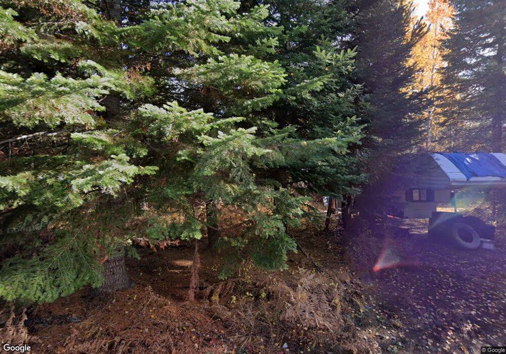
1715 Upper Samuels Rd Sandpoint, ID 83864
Estimated Value: $479,000 - $704,000
3
Beds
1
Bath
1,502
Sq Ft
$393/Sq Ft
Est. Value
About This Home
This home is located at 1715 Upper Samuels Rd, Sandpoint, ID 83864 and is currently estimated at $590,098, approximately $392 per square foot. 1715 Upper Samuels Rd is a home located in Bonner County with nearby schools including Kootenai Elementary School, Sandpoint Middle School, and Sandpoint High School.
Ownership History
Date
Name
Owned For
Owner Type
Purchase Details
Closed on
Jul 12, 2021
Sold by
Blehm Russell Lee and The Estate Of Arden Lee Blehm
Bought by
Naccarato Larry and Naccarato Catrena
Current Estimated Value
Purchase Details
Closed on
May 29, 2014
Sold by
Blehm Sharon and Blehm Arden
Bought by
Blehm Arden
Purchase Details
Closed on
Mar 20, 2009
Sold by
Hodges Sara E
Bought by
Hodges Steve D
Create a Home Valuation Report for This Property
The Home Valuation Report is an in-depth analysis detailing your home's value as well as a comparison with similar homes in the area
Home Values in the Area
Average Home Value in this Area
Purchase History
| Date | Buyer | Sale Price | Title Company |
|---|---|---|---|
| Naccarato Larry | -- | None Available | |
| Blehm Arden | -- | Alliance Title | |
| Hodges Steve D | -- | -- |
Source: Public Records
Tax History Compared to Growth
Tax History
| Year | Tax Paid | Tax Assessment Tax Assessment Total Assessment is a certain percentage of the fair market value that is determined by local assessors to be the total taxable value of land and additions on the property. | Land | Improvement |
|---|---|---|---|---|
| 2025 | $1,556 | $361,067 | $242,415 | $118,652 |
| 2024 | $1,583 | $363,131 | $241,479 | $121,652 |
| 2023 | $1,748 | $384,559 | $256,109 | $128,450 |
| 2022 | $1,740 | $353,060 | $219,156 | $133,904 |
| 2021 | $1,598 | $214,516 | $125,449 | $89,067 |
| 2020 | $1,095 | $126,330 | $87,614 | $38,716 |
| 2019 | $1,225 | $132,686 | $87,614 | $45,072 |
| 2018 | $998 | $143,922 | $97,785 | $46,137 |
| 2017 | $998 | $129,235 | $0 | $0 |
| 2016 | $903 | $113,099 | $0 | $0 |
| 2015 | -- | $115,989 | $0 | $0 |
| 2014 | -- | $156,339 | $0 | $0 |
Source: Public Records
Map
Nearby Homes
- Lot 14 Ridge Way
- 299 Reload Rd
- 1719 Highlands Rd
- 774 Old Kootenai Trail
- 490 Samuels Rd
- 487404 Highway 95
- 3251 Elmira Rd
- 362 Winding Way
- 633 Old Mill Rd
- 1464 Hulett Hill Dr
- Noble Lane Lot 12 Phase 2
- 249 Indigo Sky Rd
- Lot 2 Phase 2 Noble Ln
- Lot 2 Phase 2 Noble Ln
- 159 Horse Ln
- 5 A St
- 344 Upper Gold Creek Rd
- 672 Hopkins Rd
- 181 Calypso Ln
- 2489 N Center Valley Rd
- 565 Ridge Way
- 453 Ridge Way
- 1290 Hines Rd
- 1889 Upper Samuels Rd
- 405 Ridge Way
- 1550 Upper Samuels Rd
- 500 Ridge Way
- 310 Ridge Way
- SUNNYSIDE Ridge Way
- 0 Ridge Way
- 544 Ridge Way
- 235 Ridge Way
- 1460 Upper Samuels Rd
- 235 Ridge Way
- 75 Candlelight Ln
- 696 Artisan Way
- nna Hines Rd
- 0 Hines Rd
- 272 Ridge Way
- 1405 Upper Samuels Rd
