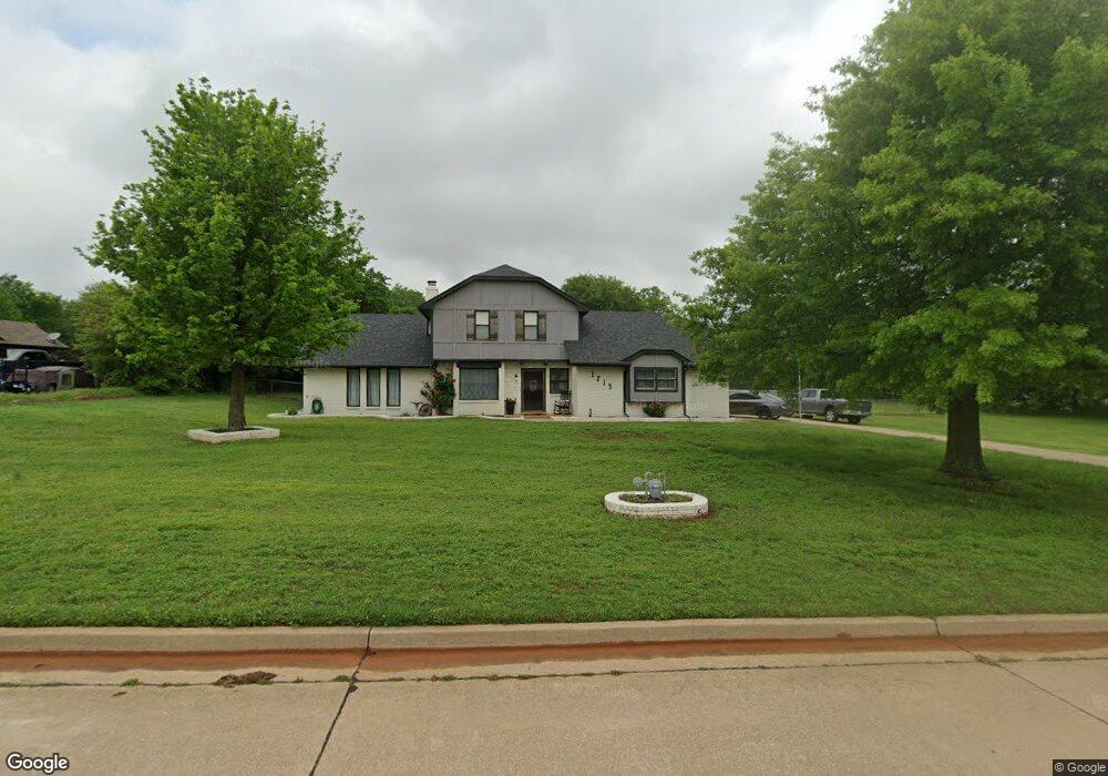
1715 W David Dr Mustang, OK 73064
Estimated Value: $291,000 - $335,000
3
Beds
4
Baths
2,156
Sq Ft
$145/Sq Ft
Est. Value
About This Home
This home is located at 1715 W David Dr, Mustang, OK 73064 and is currently estimated at $312,590, approximately $144 per square foot. 1715 W David Dr is a home located in Canadian County with nearby schools including Mustang Lakehoma Elementary School, Mustang Horizon Intermediate School, and Mustang Middle School.
Ownership History
Date
Name
Owned For
Owner Type
Purchase Details
Closed on
Dec 12, 2014
Sold by
Owen Jeffrey A and Owen Linda S
Bought by
Stange Maria Rachelle and Stange Justin M
Current Estimated Value
Purchase Details
Closed on
Dec 6, 2004
Sold by
Knapp Linda M
Purchase Details
Closed on
Mar 4, 1992
Purchase Details
Closed on
Jan 27, 1992
Purchase Details
Closed on
Nov 19, 1991
Create a Home Valuation Report for This Property
The Home Valuation Report is an in-depth analysis detailing your home's value as well as a comparison with similar homes in the area
Home Values in the Area
Average Home Value in this Area
Purchase History
| Date | Buyer | Sale Price | Title Company |
|---|---|---|---|
| Stange Maria Rachelle | $188,000 | Old Republic Title Company | |
| -- | $122,000 | -- | |
| -- | $94,000 | -- | |
| -- | -- | -- | |
| -- | -- | -- |
Source: Public Records
Mortgage History
| Date | Status | Borrower | Loan Amount |
|---|---|---|---|
| Open | Stange Maria Rachelle | $11,000 | |
| Previous Owner | Owen Jeffrey A | $90,000 | |
| Previous Owner | Owen Jeffrey A | $128,000 | |
| Previous Owner | Owen Jeffrey A | $99,000 |
Source: Public Records
Tax History Compared to Growth
Tax History
| Year | Tax Paid | Tax Assessment Tax Assessment Total Assessment is a certain percentage of the fair market value that is determined by local assessors to be the total taxable value of land and additions on the property. | Land | Improvement |
|---|---|---|---|---|
| 2024 | $1,892 | $20,566 | $1,927 | $18,639 |
| 2023 | $1,892 | $19,967 | $1,771 | $18,196 |
| 2022 | $1,856 | $19,386 | $1,771 | $17,615 |
| 2021 | $1,807 | $18,821 | $1,771 | $17,050 |
| 2020 | $1,762 | $18,273 | $1,771 | $16,502 |
| 2019 | $1,708 | $17,741 | $1,771 | $15,970 |
| 2018 | $1,691 | $17,224 | $1,771 | $15,453 |
| 2017 | $1,620 | $16,722 | $1,800 | $14,922 |
| 2016 | $1,573 | $16,722 | $1,800 | $14,922 |
| 2015 | $1,413 | $15,763 | $1,800 | $13,963 |
| 2014 | $1,413 | $14,608 | $1,800 | $12,808 |
Source: Public Records
Map
Nearby Homes
- 1509 S Clear Springs Rd
- 1907 W Cedar Ridge Dr
- 1809 W Aqua Clear Dr
- 520 S Owen Dr
- 11617 SW 56th St
- 716 N Cottontail Way
- 1315 S Grace Dr
- 2114 W Cole Dr
- 000 SW 89th St
- 2101 W Beaver Point Dr
- 2224 W Sunset Dr
- 10009 SW 39th St
- 10013 SW 39th St
- 320 N Jasper Way
- 309 N Topaz Way
- 4213 Moonlight Rd
- 4408 Moonlight Rd
- 525 W Ava Dr
- 1302 S Silver Dr
- 1405 S Dean Dr
- 1725 W David Dr
- 1716 W David Dr
- 1224 S Clear Springs Rd
- 1735 W David Dr
- 1726 W David Dr
- 1204 S Clear Springs Rd
- 1704 W Rose Oak Dr
- 1312 S Clear Springs Rd
- 1726 W Rose Oak Dr
- 1736 W David Dr
- 1745 W David Dr
- 1738 W Rose Oak Dr
- 1746 W David Dr
- 1346 S Clear Springs Rd
- 1124 S Clear Springs Rd
- 1407 S Clear Springs Rd
- 1815 W David Dr
- 1705 W Rose Oak Dr
- 1750 W Rose Oak Dr
- 1816 W David Dr