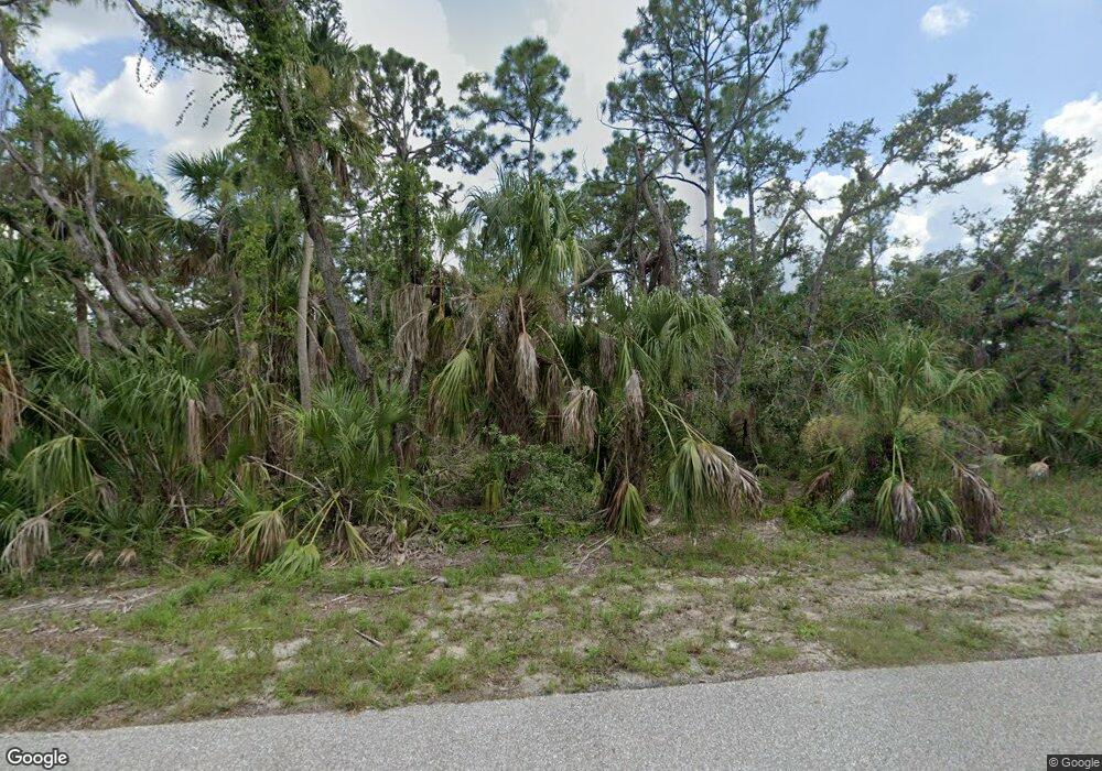
17153 Jamie Ave Port Charlotte, FL 33948
Estimated Value: $13,855 - $412,000
--
Bed
--
Bath
--
Sq Ft
10,019
Sq Ft Lot
About This Home
This home is located at 17153 Jamie Ave, Port Charlotte, FL 33948 and is currently estimated at $133,464. 17153 Jamie Ave is a home located in Charlotte County with nearby schools including Liberty Elementary School, Murdock Middle School, and Port Charlotte High School.
Ownership History
Date
Name
Owned For
Owner Type
Purchase Details
Closed on
May 18, 2020
Sold by
Sanchez Ricardo M
Bought by
Denise Mason Investment Trust
Current Estimated Value
Purchase Details
Closed on
Jul 12, 2005
Sold by
Ant Investments Corp
Bought by
Sanchez Ricardo M
Purchase Details
Closed on
May 16, 2005
Sold by
Rk Properties Llc
Bought by
Ant Investments Corp
Purchase Details
Closed on
Feb 5, 2004
Sold by
Rittenhouse Julian W and Rittenhouse Elizabeth S
Bought by
R K Prop L L C
Create a Home Valuation Report for This Property
The Home Valuation Report is an in-depth analysis detailing your home's value as well as a comparison with similar homes in the area
Home Values in the Area
Average Home Value in this Area
Purchase History
| Date | Buyer | Sale Price | Title Company |
|---|---|---|---|
| Denise Mason Investment Trust | $6,831 | None Available | |
| Sanchez Ricardo M | $42,000 | Tradewinds Title Inc | |
| Ant Investments Corp | $32,800 | Port Charlotte Title Co Inc | |
| R K Prop L L C | $6,500 | -- |
Source: Public Records
Tax History Compared to Growth
Tax History
| Year | Tax Paid | Tax Assessment Tax Assessment Total Assessment is a certain percentage of the fair market value that is determined by local assessors to be the total taxable value of land and additions on the property. | Land | Improvement |
|---|---|---|---|---|
| 2023 | $432 | $4,731 | $0 | $0 |
| 2022 | $402 | $11,475 | $11,475 | $0 |
| 2021 | $352 | $3,910 | $3,910 | $0 |
| 2020 | $337 | $3,570 | $3,570 | $0 |
| 2019 | $335 | $3,570 | $3,570 | $0 |
| 2018 | $333 | $3,825 | $3,825 | $0 |
| 2017 | $327 | $3,577 | $3,577 | $0 |
| 2016 | $322 | $3,226 | $0 | $0 |
| 2015 | $316 | $2,933 | $0 | $0 |
| 2014 | $308 | $2,912 | $0 | $0 |
Source: Public Records
Map
Nearby Homes
- 17073 Baker Ave
- 17153 Baker Ave
- 2177 Fraser St
- 2209 Hilton St
- 17043 Arthur Ave
- 17052 Johns Ave
- 17092 Johns Ave
- 17137 Orient Ave
- 2477 Hilton St
- 2201 Hilton St
- 17074 Orient Ave
- 17043 Nixon Ave
- 17137 Nixon Ave
- 2185 Fraser St
- 2193 Fraser St
- 17220 Arthur Ave
- 17099 & 17107 Arthur Ave
- 17044 Johns Ave
- 17139 Johns Ave
- 17200 & 17208 Johns Ave
- 17090 Jamie Ave
- 17082 Jamie Ave
- 17105 Jamie Ave
- 17137 Jamie Ave
- 17146 Jamie Ave
- 2225 Fraser St
- 2225 Fraser St Unit 2227
- 2233 Fraser St
- 2209 Fraser St
- 2217 Fraser St
- 2219 Fraser St
- 17074 Jaimie Ave
- 17074 Jamie Ave
- 17073 Baker Ave Unit 26
- 2228 Fraser St
- 2224 Hilton St
- 17097 Baker Ave Unit 23
- 17097 Baker Ave
- 17153 Baker Ave Unit 16
- 17090 Arthur Ave