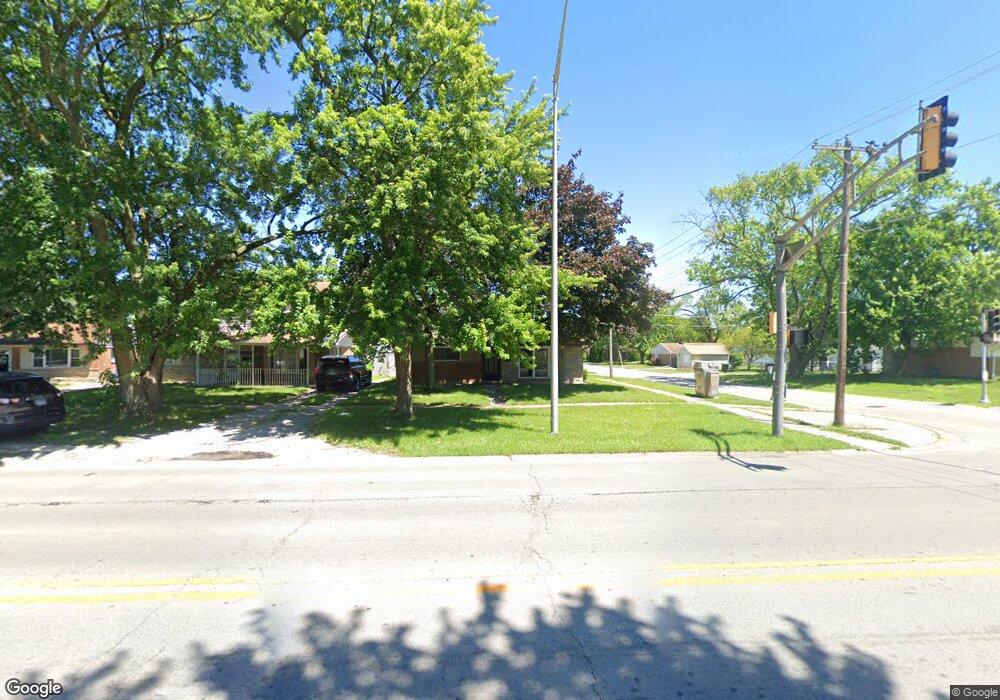
17157 Burnham Ave Lansing, IL 60438
Estimated Value: $138,441 - $155,000
2
Beds
1
Bath
945
Sq Ft
$155/Sq Ft
Est. Value
About This Home
This home is located at 17157 Burnham Ave, Lansing, IL 60438 and is currently estimated at $146,860, approximately $155 per square foot. 17157 Burnham Ave is a home located in Cook County with nearby schools including Reavis Elementary School, Memorial Jr High School, and Thornton Fractnl So High School.
Ownership History
Date
Name
Owned For
Owner Type
Purchase Details
Closed on
Oct 15, 2002
Sold by
Winnick Ronald J and Winnick Molly
Bought by
Hayes Jeff and Tuinstra Melissa
Current Estimated Value
Home Financials for this Owner
Home Financials are based on the most recent Mortgage that was taken out on this home.
Original Mortgage
$88,061
Interest Rate
6.29%
Purchase Details
Closed on
Mar 8, 2002
Sold by
Winnick Ronald J and Winnick Molly
Bought by
Winnick Ronald J and Winnick Molly
Create a Home Valuation Report for This Property
The Home Valuation Report is an in-depth analysis detailing your home's value as well as a comparison with similar homes in the area
Home Values in the Area
Average Home Value in this Area
Purchase History
| Date | Buyer | Sale Price | Title Company |
|---|---|---|---|
| Hayes Jeff | $82,500 | -- | |
| Winnick Ronald J | -- | -- |
Source: Public Records
Mortgage History
| Date | Status | Borrower | Loan Amount |
|---|---|---|---|
| Closed | Hayes Jeff | $88,061 |
Source: Public Records
Tax History Compared to Growth
Tax History
| Year | Tax Paid | Tax Assessment Tax Assessment Total Assessment is a certain percentage of the fair market value that is determined by local assessors to be the total taxable value of land and additions on the property. | Land | Improvement |
|---|---|---|---|---|
| 2024 | $2,992 | $9,500 | $2,079 | $7,421 |
| 2023 | $2,163 | $9,500 | $2,079 | $7,421 |
| 2022 | $2,163 | $6,748 | $1,819 | $4,929 |
| 2021 | $2,160 | $6,748 | $1,819 | $4,929 |
| 2020 | $2,139 | $6,748 | $1,819 | $4,929 |
| 2019 | $1,269 | $5,659 | $1,689 | $3,970 |
| 2018 | $1,243 | $5,659 | $1,689 | $3,970 |
| 2017 | $1,289 | $5,659 | $1,689 | $3,970 |
| 2016 | $1,980 | $6,119 | $1,559 | $4,560 |
| 2015 | $1,776 | $6,119 | $1,559 | $4,560 |
| 2014 | $1,779 | $6,119 | $1,559 | $4,560 |
| 2013 | $2,128 | $7,356 | $1,559 | $5,797 |
Source: Public Records
Map
Nearby Homes
- 17132 Walter St
- 17153 Walter St
- 17256 Walter St
- 17226 Community St
- 17318 Walter St
- 17303 Roy St
- 17048 Lorenz Ave
- 17057 Park Ave
- 17218 Park Ave
- 17128 Grant St
- 17157 Chicago Ave
- 17331 Community St
- 17335 Community St
- 17303 Chicago Ave
- 3409 173rd Place
- 3026 Bernice Rd Unit 308
- 17204 Bernadine St
- 17246 Bernadine St
- 2950 Bernice Rd
- 3454 E 170th St
- 17203 Burnham Ave
- 17156 Walter St
- 17152 Walter St
- 17141 Burnham Ave
- 17146 Walter St
- 17202 Walter St
- 17205 Burnham Ave
- 17140 Walter St
- 17137 Burnham Ave
- 17158 Burnham Ave
- 17206 Walter St
- 17154 Burnham Ave
- 17148 Burnham Ave
- 17202 Burnham Ave
- 17213 Burnham Ave
- 17213 Burnham Ave
- 17136 Walter St
- 17144 Burnham Ave
- 17144 Burnham Ave