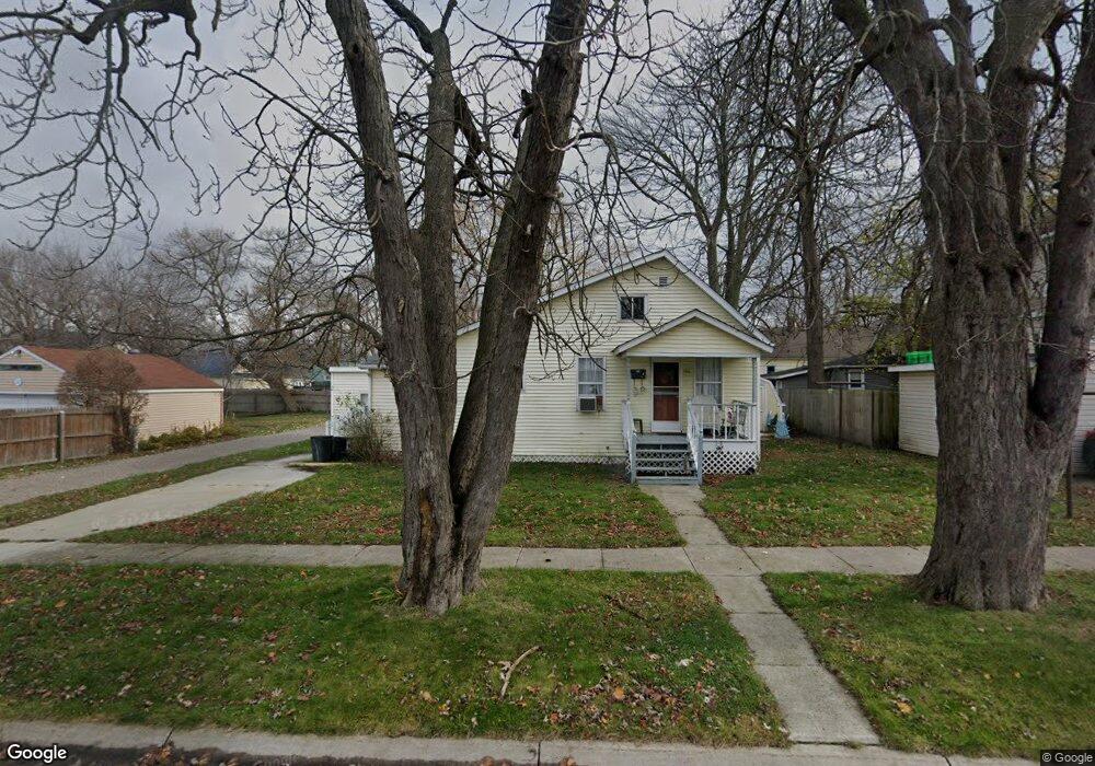
1716 12th St Port Huron, MI 48060
Estimated Value: $72,000 - $123,000
3
Beds
1
Bath
1,048
Sq Ft
$97/Sq Ft
Est. Value
About This Home
This home is located at 1716 12th St, Port Huron, MI 48060 and is currently estimated at $101,170, approximately $96 per square foot. 1716 12th St is a home located in St. Clair County with nearby schools including Woodrow Wilson Elementary School, Central Middle School, and Port Huron High School.
Ownership History
Date
Name
Owned For
Owner Type
Purchase Details
Closed on
Oct 1, 2008
Sold by
Federal National Mortgage Association
Bought by
Hermann Edward John
Current Estimated Value
Purchase Details
Closed on
Oct 8, 2007
Sold by
Citimortgage Inc
Bought by
Federal National Mortgage Association
Purchase Details
Closed on
Sep 27, 2007
Sold by
Megie David
Bought by
Citimorrgage Inc
Create a Home Valuation Report for This Property
The Home Valuation Report is an in-depth analysis detailing your home's value as well as a comparison with similar homes in the area
Home Values in the Area
Average Home Value in this Area
Purchase History
| Date | Buyer | Sale Price | Title Company |
|---|---|---|---|
| Hermann Edward John | $8,000 | Warranty Title Agency Llc | |
| Federal National Mortgage Association | -- | None Available | |
| Citimorrgage Inc | $41,198 | None Available |
Source: Public Records
Tax History Compared to Growth
Tax History
| Year | Tax Paid | Tax Assessment Tax Assessment Total Assessment is a certain percentage of the fair market value that is determined by local assessors to be the total taxable value of land and additions on the property. | Land | Improvement |
|---|---|---|---|---|
| 2025 | $1,095 | $33,100 | $0 | $0 |
| 2024 | $892 | $31,300 | $0 | $0 |
| 2023 | $844 | $27,800 | $0 | $0 |
| 2022 | $775 | $21,800 | $0 | $0 |
| 2021 | $740 | $18,500 | $0 | $0 |
| 2020 | $743 | $16,100 | $16,100 | $0 |
| 2019 | $730 | $11,300 | $0 | $0 |
| 2018 | $714 | $11,300 | $0 | $0 |
| 2017 | $657 | $10,600 | $0 | $0 |
| 2016 | $571 | $10,600 | $0 | $0 |
| 2015 | $592 | $10,600 | $10,600 | $0 |
| 2014 | $592 | $11,000 | $11,000 | $0 |
| 2013 | -- | $12,000 | $0 | $0 |
Source: Public Records
Map
Nearby Homes
- 1127 Minnie St
- 1309 Division St
- 1132 Griswold St
- 1831 11th St
- 1322 Division St
- 1112 Minnie St
- 1325 Division St
- 1103 White St
- 1207 White St
- 1624 15th St
- 926 Griswold St
- 000 10th St
- 1413 14th St
- 1610 16th St
- 831 Bancroft St
- 1623 8th St
- 731 Bancroft St
- 738 Bancroft St
- 1426 18th St
- 1100 10th St Unit 1124