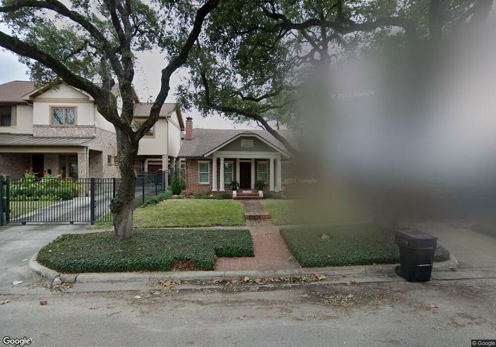
1716 Harold St Houston, TX 77098
Montrose NeighborhoodEstimated Value: $700,000 - $877,000
3
Beds
3
Baths
2,310
Sq Ft
$340/Sq Ft
Est. Value
About This Home
This home is located at 1716 Harold St, Houston, TX 77098 and is currently estimated at $784,420, approximately $339 per square foot. 1716 Harold St is a home located in Harris County with nearby schools including Baker Montessori, Lanier Middle School, and Lamar High School.
Ownership History
Date
Name
Owned For
Owner Type
Purchase Details
Closed on
May 15, 2000
Sold by
Presnell Blair Owens and Presnell Mary Ellen
Bought by
Cucci Maurice A
Current Estimated Value
Home Financials for this Owner
Home Financials are based on the most recent Mortgage that was taken out on this home.
Original Mortgage
$180,000
Outstanding Balance
$62,409
Interest Rate
8.19%
Estimated Equity
$722,011
Purchase Details
Closed on
Nov 20, 1997
Sold by
Metz Samuel and Metz Ellen
Bought by
Presnell Blair Owens and Presnell Mary Ellen
Home Financials for this Owner
Home Financials are based on the most recent Mortgage that was taken out on this home.
Original Mortgage
$206,400
Interest Rate
7.23%
Create a Home Valuation Report for This Property
The Home Valuation Report is an in-depth analysis detailing your home's value as well as a comparison with similar homes in the area
Home Values in the Area
Average Home Value in this Area
Purchase History
| Date | Buyer | Sale Price | Title Company |
|---|---|---|---|
| Cucci Maurice A | -- | -- | |
| Presnell Blair Owens | -- | Houston Title Company 700 |
Source: Public Records
Mortgage History
| Date | Status | Borrower | Loan Amount |
|---|---|---|---|
| Open | Cucci Maurice A | $180,000 | |
| Previous Owner | Presnell Blair Owens | $206,400 | |
| Closed | Presnell Blair Owens | $25,800 |
Source: Public Records
Tax History Compared to Growth
Tax History
| Year | Tax Paid | Tax Assessment Tax Assessment Total Assessment is a certain percentage of the fair market value that is determined by local assessors to be the total taxable value of land and additions on the property. | Land | Improvement |
|---|---|---|---|---|
| 2025 | $5,403 | $644,454 | $588,300 | $56,154 |
| 2024 | $5,403 | $639,154 | $583,000 | $56,154 |
| 2023 | $5,403 | $590,000 | $583,000 | $7,000 |
| 2022 | $12,110 | $562,600 | $424,000 | $138,600 |
| 2021 | $11,653 | $500,000 | $424,000 | $76,000 |
| 2020 | $14,086 | $581,700 | $487,600 | $94,100 |
| 2019 | $14,306 | $565,336 | $487,600 | $77,736 |
| 2018 | $8,116 | $532,700 | $457,125 | $75,575 |
| 2017 | $14,420 | $543,419 | $457,125 | $86,294 |
| 2016 | $16,696 | $633,271 | $396,175 | $237,096 |
| 2015 | $10,570 | $601,000 | $396,175 | $204,825 |
| 2014 | $10,570 | $520,000 | $365,700 | $154,300 |
Source: Public Records
Map
Nearby Homes
- 1701 Hawthorne St
- 1660 Hawthorne St
- 1660 Kipling St
- 1755 Kipling St
- 1723 Marshall St
- 1824 Marshall St
- 2415 Elmen St
- 1620 Harold St
- 1634 Marshall St
- 1612 Kipling St
- 1638 W Alabama St
- 1900 Hawthorne St
- 2413 Ralph St Unit 2
- 1849 Marshall St Unit 9
- 1842 W Alabama St
- 2506 Mandell St Unit 3
- 1912 Kipling St
- 1844 W Alabama St
- 2314 Park St
- 1539 Westheimer Rd
- 1712 Harold St
- 1718 Harold St
- 1720 Harold St
- 1708 Harold St
- 1717 Hawthorne St
- 1719 Hawthorne St
- 1728 Harold St
- 1707 Hawthorne St
- 1704 Harold St
- 1715 Harold St
- 1719 Harold St
- 1719 Harold St Unit B
- 1711 Harold St
- 1729 Hawthorne St
- 1701 Hawthorne St Unit 2
- 1701 Hawthorne St Unit 1
- 1721 Harold St
- 1732 Harold St
- 1707 Harold St
- 1725 Harold St