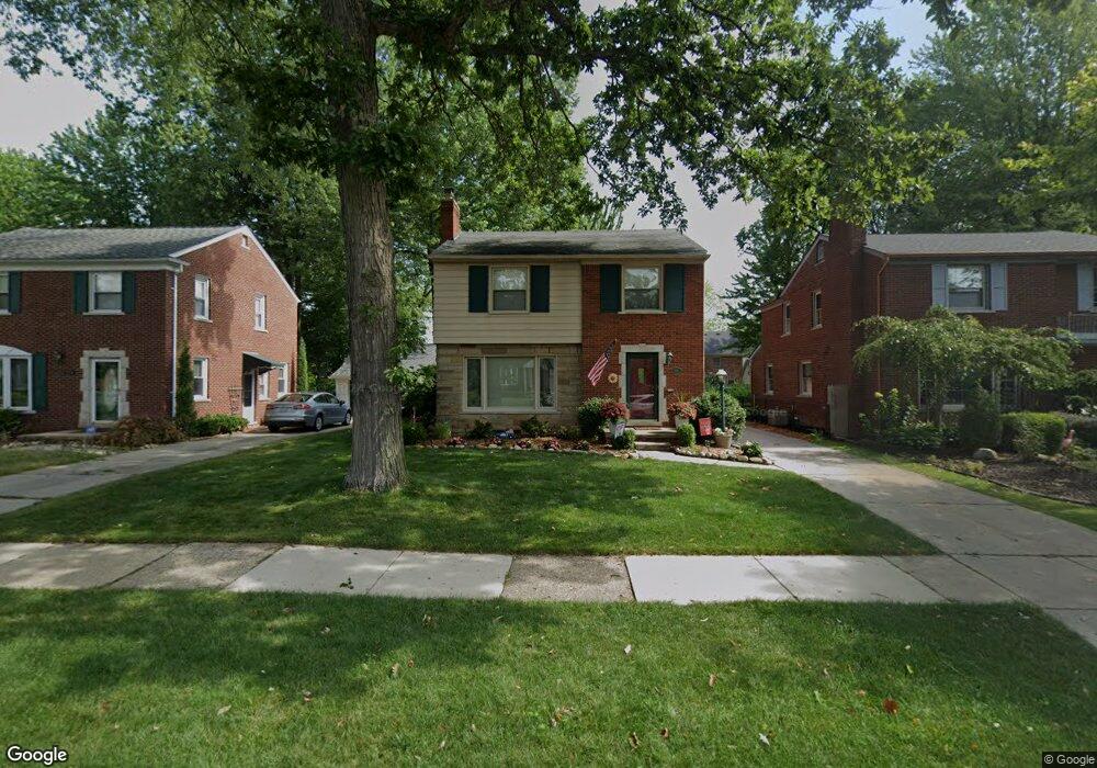
1716 Prestwick Rd Grosse Pointe Woods, MI 48236
Estimated Value: $320,000 - $373,000
3
Beds
2
Baths
1,605
Sq Ft
$209/Sq Ft
Est. Value
About This Home
This home is located at 1716 Prestwick Rd, Grosse Pointe Woods, MI 48236 and is currently estimated at $335,242, approximately $208 per square foot. 1716 Prestwick Rd is a home located in Wayne County with nearby schools including John Monteith Elementary School, Brownell Middle School, and Grosse Pointe North High School.
Ownership History
Date
Name
Owned For
Owner Type
Purchase Details
Closed on
Jul 17, 2007
Sold by
Tanielian James and Tanielian Linda J
Bought by
Sands Robert J
Current Estimated Value
Create a Home Valuation Report for This Property
The Home Valuation Report is an in-depth analysis detailing your home's value as well as a comparison with similar homes in the area
Home Values in the Area
Average Home Value in this Area
Purchase History
| Date | Buyer | Sale Price | Title Company |
|---|---|---|---|
| Sands Robert J | $202,500 | None Available |
Source: Public Records
Tax History
| Year | Tax Paid | Tax Assessment Tax Assessment Total Assessment is a certain percentage of the fair market value that is determined by local assessors to be the total taxable value of land and additions on the property. | Land | Improvement |
|---|---|---|---|---|
| 2025 | $2,705 | $153,700 | $0 | $0 |
| 2024 | $2,692 | $146,700 | $0 | $0 |
| 2023 | $2,589 | $128,100 | $0 | $0 |
| 2022 | $4,055 | $116,700 | $0 | $0 |
| 2021 | $3,866 | $119,400 | $0 | $0 |
| 2020 | $3,980 | $115,300 | $0 | $0 |
| 2019 | $2,357 | $106,600 | $0 | $0 |
| 2018 | $2,316 | $88,900 | $0 | $0 |
| 2017 | $2,692 | $87,200 | $0 | $0 |
| 2016 | $3,670 | $84,300 | $0 | $0 |
| 2015 | $6,360 | $80,700 | $0 | $0 |
| 2013 | $6,170 | $62,900 | $0 | $0 |
| 2012 | -- | $68,900 | $16,900 | $52,000 |
Source: Public Records
Map
Nearby Homes
- 19299 Raymond St
- 21602 Newcastle Rd
- 1912 Littlestone Rd
- 21440 Prestwick Ave
- 19196 Berden St
- 21970 Moross Rd
- 21820 Moross Rd
- 489 Chalfonte Ave
- 21806 Moross Rd
- 21800 Moross Rd
- 1776 Manchester Blvd
- 21756 Moross Rd
- 21718 Moross Rd
- 21315 Prestwick Ave
- 5228 Hillcrest St
- 19134 Mallina St
- 1744 Huntington Blvd
- 21228 Newcastle Rd
- 21211 Newcastle Rd
- 5231 Lannoo St
- 1724 Prestwick Rd
- 1700 Prestwick Rd
- 1699 Severn Rd
- 1707 Severn Rd
- 1732 Prestwick Rd
- 1692 Prestwick Rd
- 1691 Severn Rd
- 1683 Severn Rd
- 1740 Prestwick Rd
- 1676 Prestwick Rd
- 1675 Severn Rd
- 1709 Prestwick Rd
- 1723 Severn Rd
- 1717 Prestwick Rd
- 1748 Prestwick Rd
- 1667 Severn Rd
- 1693 Prestwick Rd
- 1670 Prestwick Rd
- 1677 Prestwick Rd
- 1657 Severn Rd
Your Personal Tour Guide
Ask me questions while you tour the home.