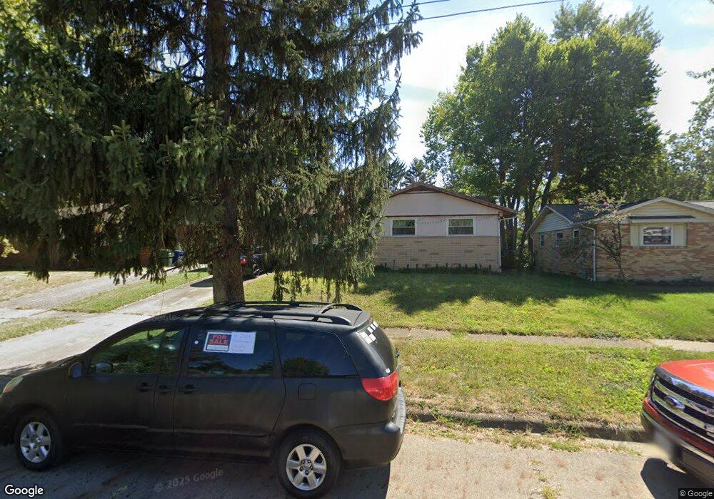
1716 Simpson Dr Columbus, OH 43227
Leawood NeighborhoodEstimated Value: $188,000 - $233,000
3
Beds
1
Bath
1,036
Sq Ft
$203/Sq Ft
Est. Value
About This Home
This home is located at 1716 Simpson Dr, Columbus, OH 43227 and is currently estimated at $210,492, approximately $203 per square foot. 1716 Simpson Dr is a home located in Franklin County with nearby schools including Leawood Elementary School, Sherwood Middle School, and Walnut Ridge High School.
Ownership History
Date
Name
Owned For
Owner Type
Purchase Details
Closed on
Oct 10, 2025
Sold by
Gebremeskel Melay
Bought by
Gebremeskel Melay and Gebremeskel Soliana
Current Estimated Value
Purchase Details
Closed on
Jun 11, 2019
Sold by
Meskel Girmay G
Bought by
Gebremeskel Melay
Purchase Details
Closed on
May 5, 2009
Sold by
Secretary Of Housing & Urban Development
Bought by
Meskel Girmay G
Purchase Details
Closed on
Aug 20, 2008
Sold by
Hester Lawanna D and Chase Home Finance Llc
Bought by
Secretary Of Housing & Urban Development
Purchase Details
Closed on
Aug 11, 2000
Sold by
Tom Kevin F and Estate Of Fong K Tom
Bought by
Hester Lawanna D
Home Financials for this Owner
Home Financials are based on the most recent Mortgage that was taken out on this home.
Original Mortgage
$78,574
Interest Rate
8.16%
Mortgage Type
FHA
Create a Home Valuation Report for This Property
The Home Valuation Report is an in-depth analysis detailing your home's value as well as a comparison with similar homes in the area
Home Values in the Area
Average Home Value in this Area
Purchase History
| Date | Buyer | Sale Price | Title Company |
|---|---|---|---|
| Gebremeskel Melay | -- | Landsel Title Agency | |
| Gebremeskel Melay | -- | Landsel Title Box | |
| Meskel Girmay G | $30,001 | Lakeside Ti | |
| Secretary Of Housing & Urban Development | $60,000 | None Available | |
| Hester Lawanna D | $79,000 | -- |
Source: Public Records
Mortgage History
| Date | Status | Borrower | Loan Amount |
|---|---|---|---|
| Previous Owner | Hester Lawanna D | $78,574 |
Source: Public Records
Tax History
| Year | Tax Paid | Tax Assessment Tax Assessment Total Assessment is a certain percentage of the fair market value that is determined by local assessors to be the total taxable value of land and additions on the property. | Land | Improvement |
|---|---|---|---|---|
| 2025 | $2,590 | $53,240 | $16,170 | $37,070 |
| 2024 | $2,590 | $53,240 | $16,170 | $37,070 |
| 2023 | $2,559 | $53,235 | $16,170 | $37,065 |
| 2022 | $1,805 | $33,960 | $7,110 | $26,850 |
| 2021 | $1,808 | $33,960 | $7,110 | $26,850 |
| 2020 | $1,811 | $33,960 | $7,110 | $26,850 |
| 2019 | $1,674 | $26,920 | $5,710 | $21,210 |
| 2018 | $815 | $26,920 | $5,710 | $21,210 |
| 2017 | $1,632 | $26,920 | $5,710 | $21,210 |
| 2016 | $1,575 | $23,770 | $5,600 | $18,170 |
| 2015 | $715 | $23,770 | $5,600 | $18,170 |
| 2014 | $1,433 | $23,770 | $5,600 | $18,170 |
| 2013 | $830 | $27,930 | $6,580 | $21,350 |
Source: Public Records
Map
Nearby Homes
- 4589 Belfast Dr
- 4475 Ellery Dr
- 4636 Dundee Ave
- 4649 Dundee Ave
- 1639 Shady Lane Rd
- 1612 Simpson Dr
- 1607 Baxter Dr
- 1752 S Hamilton Rd
- 4701 Janis Dr
- 4472 Aragon Ave
- 4677 E Livingston Ave
- 1654 Wilton Dr
- 1646 Clyde Place
- 4467 Grimsby Rd
- 4859 Folger Dr
- 1284 Thurston Dr
- 1281 Maetzel Dr
- 1472 Blaine Dr
- 1490 Elaine Rd Unit 1462
- 1243 Simpson Dr
- 1722 Simpson Dr
- 1710 Simpson Dr
- 1730 Simpson Dr
- 1704 Simpson Dr
- 1735 Shady Lane Rd
- 1741 Shady Lane Rd
- 1729 Shady Lane Rd
- 1729 Shady Ln
- 1736 Simpson Dr
- 1747 Shady Lane Rd
- 1698 Simpson Dr
- 4523 Keeler Dr
- 4526 Keeler Dr
- 1755 Shady Lane Rd
- 1697 Simpson Dr
- 1725 Simpson Dr
- 1744 Simpson Dr
- 1690 Simpson Dr
- 1715 Shady Lane Rd
- 1689 Simpson Dr
Your Personal Tour Guide
Ask me questions while you tour the home.