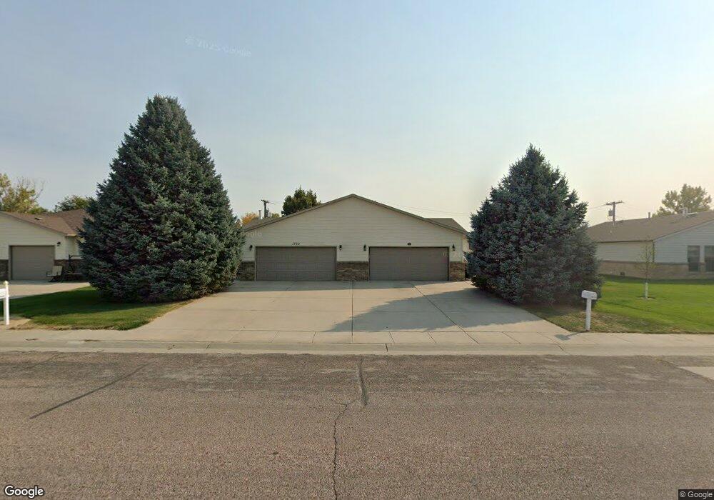
1717 E M St Torrington, WY 82240
Estimated Value: $230,324 - $278,000
2
Beds
2
Baths
1,140
Sq Ft
$225/Sq Ft
Est. Value
About This Home
This home is located at 1717 E M St, Torrington, WY 82240 and is currently estimated at $256,441, approximately $224 per square foot. 1717 E M St is a home located in Goshen County with nearby schools including Trail Elementary School, Lincoln Elementary School, and Torrington Middle School.
Ownership History
Date
Name
Owned For
Owner Type
Purchase Details
Closed on
Oct 1, 2020
Sold by
Fornstrom Dorothy and Garrelts William
Bought by
Foster Thomas C and Foster Kathleen A
Current Estimated Value
Home Financials for this Owner
Home Financials are based on the most recent Mortgage that was taken out on this home.
Original Mortgage
$60,000
Outstanding Balance
$53,367
Interest Rate
2.9%
Mortgage Type
New Conventional
Estimated Equity
$203,074
Create a Home Valuation Report for This Property
The Home Valuation Report is an in-depth analysis detailing your home's value as well as a comparison with similar homes in the area
Home Values in the Area
Average Home Value in this Area
Purchase History
| Date | Buyer | Sale Price | Title Company |
|---|---|---|---|
| Foster Thomas C | -- | First American Title | |
| Foster Thomas C | -- | First American Title |
Source: Public Records
Mortgage History
| Date | Status | Borrower | Loan Amount |
|---|---|---|---|
| Open | Foster Thomas C | $60,000 | |
| Closed | Foster Thomas C | $60,000 |
Source: Public Records
Tax History Compared to Growth
Tax History
| Year | Tax Paid | Tax Assessment Tax Assessment Total Assessment is a certain percentage of the fair market value that is determined by local assessors to be the total taxable value of land and additions on the property. | Land | Improvement |
|---|---|---|---|---|
| 2025 | $1,317 | $13,605 | $832 | $12,773 |
| 2024 | $1,317 | $17,485 | $1,110 | $16,375 |
| 2023 | $1,261 | $16,740 | $995 | $15,745 |
| 2022 | $1,161 | $15,424 | $995 | $14,429 |
| 2021 | $1,041 | $13,829 | $986 | $12,843 |
| 2020 | $962 | $12,777 | $976 | $11,801 |
| 2019 | $1,028 | $13,648 | $976 | $12,672 |
| 2018 | $1,012 | $13,445 | $976 | $12,469 |
| 2017 | $999 | $13,264 | $948 | $12,316 |
| 2016 | $960 | $12,743 | $924 | $11,819 |
| 2015 | -- | $12,284 | $924 | $11,360 |
| 2014 | -- | $11,663 | $992 | $10,671 |
Source: Public Records
Map
Nearby Homes
- 1825 E L St
- 106 Lupine Dr
- 0 E M (Blk 02 Lot 01) Unit 20252812
- 0 E 20th (Blk 02 Lot 3) Unit 20252813
- 0 E M (Block 02 Lot 13) Unit 20252811
- 0 E M (Blk 02 Lot 12) Unit 20252810
- 0 E M (Blk 02 Lot 11) Unit 20252809
- 262 Hillcrest Dr
- 921 E 22nd Ave
- 2102 E F St
- 2142 E F St
- 1733 E D St
- 419 E 20th Ave
- 2142 E D St
- 918 E 27th Ave
- 1941 E B St
- 2233 E A St
- 832 E 5th Ave
- 2334 E A St
- 2542 E B St