1717 S Simms Rd Wasilla, AK 99654
Big Lake NeighborhoodEstimated Value: $210,000 - $405,000
3
Beds
2
Baths
2,362
Sq Ft
$145/Sq Ft
Est. Value
About This Home
This home is located at 1717 S Simms Rd, Wasilla, AK 99654 and is currently estimated at $342,766, approximately $145 per square foot. 1717 S Simms Rd is a home located in Matanuska-Susitna Borough with nearby schools including Big Lake Elementary School, Houston Middle School, and Houston High School.
Ownership History
Date
Name
Owned For
Owner Type
Purchase Details
Closed on
Apr 23, 2009
Sold by
Stinson John D and Stinson Rachel M
Bought by
Deraad Richard
Current Estimated Value
Home Financials for this Owner
Home Financials are based on the most recent Mortgage that was taken out on this home.
Original Mortgage
$166,920
Outstanding Balance
$105,973
Interest Rate
5.02%
Mortgage Type
FHA
Estimated Equity
$236,793
Create a Home Valuation Report for This Property
The Home Valuation Report is an in-depth analysis detailing your home's value as well as a comparison with similar homes in the area
Home Values in the Area
Average Home Value in this Area
Purchase History
| Date | Buyer | Sale Price | Title Company |
|---|---|---|---|
| Deraad Richard | -- | Pnt |
Source: Public Records
Mortgage History
| Date | Status | Borrower | Loan Amount |
|---|---|---|---|
| Open | Deraad Richard | $166,920 |
Source: Public Records
Tax History Compared to Growth
Tax History
| Year | Tax Paid | Tax Assessment Tax Assessment Total Assessment is a certain percentage of the fair market value that is determined by local assessors to be the total taxable value of land and additions on the property. | Land | Improvement |
|---|---|---|---|---|
| 2025 | $3,116 | $232,300 | $10,000 | $222,300 |
| 2024 | $3,116 | $224,500 | $10,000 | $214,500 |
| 2023 | $2,899 | $218,800 | $10,000 | $208,800 |
| 2022 | $2,738 | $197,700 | $10,000 | $187,700 |
| 2021 | $2,664 | $175,900 | $10,000 | $165,900 |
| 2020 | $2,585 | $165,700 | $10,000 | $155,700 |
| 2019 | $2,447 | $155,600 | $10,000 | $145,600 |
| 2018 | $2,434 | $155,500 | $10,000 | $145,500 |
| 2017 | $2,393 | $152,900 | $10,000 | $142,900 |
| 2016 | $2,362 | $154,600 | $10,000 | $144,600 |
| 2015 | $2,085 | $150,600 | $10,000 | $140,600 |
| 2014 | $2,085 | $149,300 | $10,000 | $139,300 |
Source: Public Records
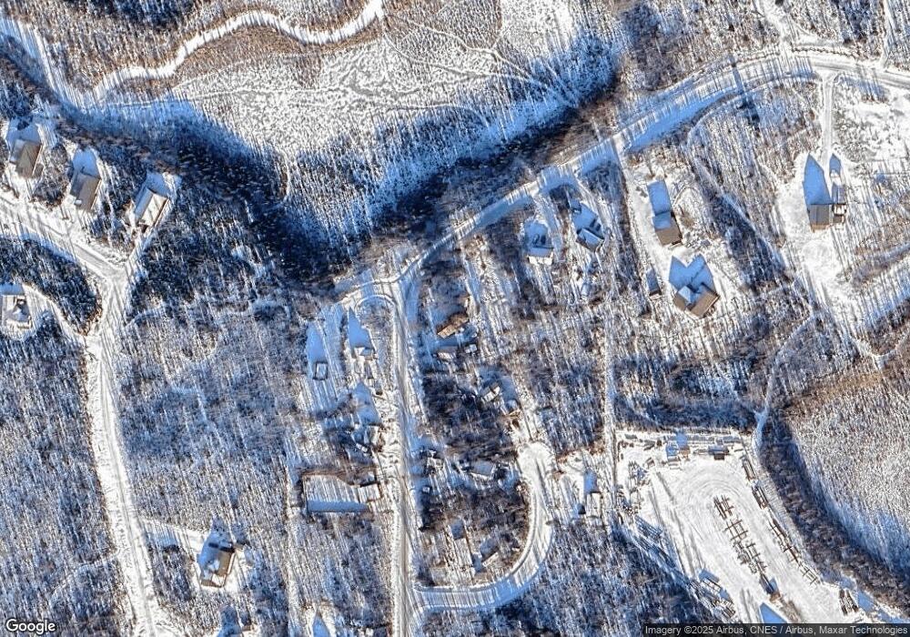
Map
Nearby Homes
- 1557 S Birch Lake Dr
- 2370 S Birch Lake Dr
- 14009 W Big Lake Rd
- 13537 W Maplewood Dr
- 13275 W Maplewood Dr
- 14274 W Cozy Ridge Rd
- 2611 S Walnut Wood Dr
- 1201 Lazy Lake Dr
- 13468 W Cherrywood Dr
- 14359 W Peak Cir
- 638 S Harlindon Dale Cir
- Tr A Lazy Lakes
- 457 S Davies Way
- 474 S Davies St
- 14732 W Peaceful Place
- 14490 W Peaceful Place
- 14690 W Peaceful Place
- 12889 W Birch Rd
- 14622 W Peaceful Place
- 14974 W Drowsy Dr
- 13650 W Upper Birch Dr
- L1-2 Simms Rd
- 13562 W Upper Birch Dr
- 13562 W Upper Birch Dr
- 1771 S Spruce Ct
- 1783 S Simms Rd
- 13686 W Upper Birch Dr
- 13534 W Upper Birch Dr
- 13534 W Upper Birch Dr
- 1772 S Simms Rd
- 1794 S Simms Rd
- L7 B4 N Park Rd
- 1797 Spruce Ct
- 13498 W Upper Birch Dr
- 1797 Spruce Ct
- L6 B5 Spruce Ct
- 13324 Upper Birch Dr
- B017 Upper Birch Dr
- B17 Upper Birch Dr
- 11320 Upper Birch Dr