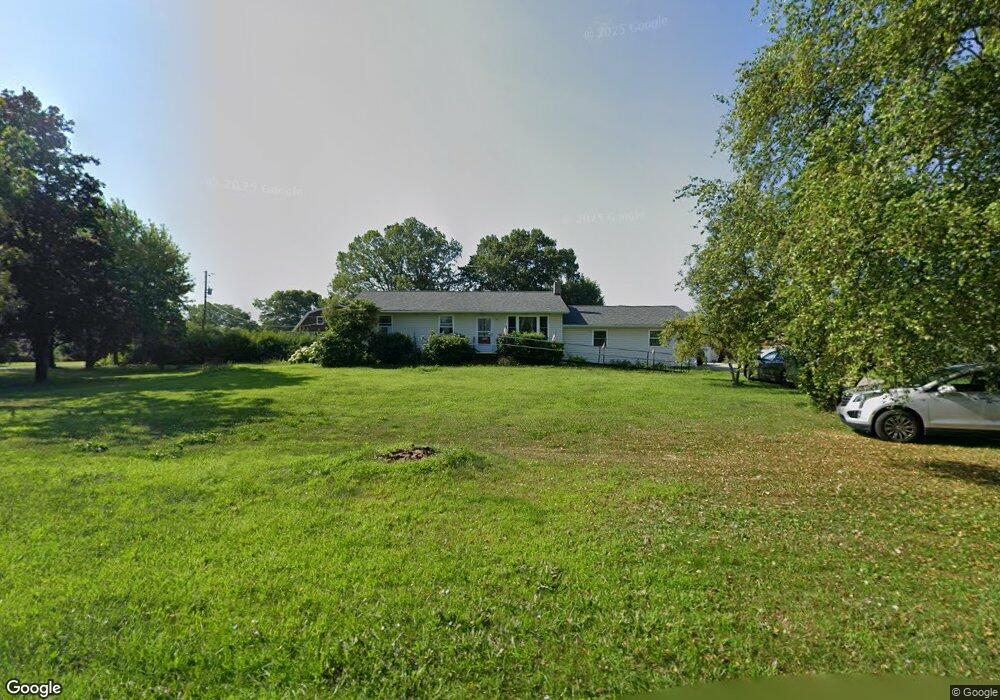
1717 Upper Nis Hollow Dr Lehighton, PA 18235
Estimated Value: $243,302 - $295,000
2
Beds
1
Bath
988
Sq Ft
$271/Sq Ft
Est. Value
About This Home
This home is located at 1717 Upper Nis Hollow Dr, Lehighton, PA 18235 and is currently estimated at $267,326, approximately $270 per square foot. 1717 Upper Nis Hollow Dr is a home located in Carbon County with nearby schools including Lehighton Area High School, Sts. Peter & Paul School, and Valley Ridge Academy.
Ownership History
Date
Name
Owned For
Owner Type
Purchase Details
Closed on
Oct 30, 2009
Sold by
Nansteel Dale E
Bought by
Searfoss William
Current Estimated Value
Home Financials for this Owner
Home Financials are based on the most recent Mortgage that was taken out on this home.
Original Mortgage
$131,580
Outstanding Balance
$86,180
Interest Rate
5.06%
Mortgage Type
New Conventional
Estimated Equity
$181,146
Create a Home Valuation Report for This Property
The Home Valuation Report is an in-depth analysis detailing your home's value as well as a comparison with similar homes in the area
Home Values in the Area
Average Home Value in this Area
Purchase History
| Date | Buyer | Sale Price | Title Company |
|---|---|---|---|
| Searfoss William | $129,000 | None Available |
Source: Public Records
Mortgage History
| Date | Status | Borrower | Loan Amount |
|---|---|---|---|
| Open | Searfoss William | $131,580 |
Source: Public Records
Tax History Compared to Growth
Tax History
| Year | Tax Paid | Tax Assessment Tax Assessment Total Assessment is a certain percentage of the fair market value that is determined by local assessors to be the total taxable value of land and additions on the property. | Land | Improvement |
|---|---|---|---|---|
| 2025 | $3,592 | $46,950 | $8,650 | $38,300 |
| 2024 | $3,452 | $46,950 | $8,650 | $38,300 |
| 2023 | $3,416 | $46,950 | $8,650 | $38,300 |
| 2022 | $3,369 | $46,950 | $8,650 | $38,300 |
| 2021 | $3,270 | $46,950 | $8,650 | $38,300 |
| 2020 | $3,187 | $46,950 | $8,650 | $38,300 |
| 2019 | $3,023 | $46,950 | $8,650 | $38,300 |
| 2018 | $2,987 | $46,950 | $8,650 | $38,300 |
| 2017 | $2,987 | $46,950 | $8,650 | $38,300 |
| 2016 | -- | $46,950 | $8,650 | $38,300 |
| 2015 | -- | $46,950 | $8,650 | $38,300 |
| 2014 | -- | $43,150 | $8,650 | $34,500 |
Source: Public Records
Map
Nearby Homes
- 408 Bridge St
- 410 S 8th St
- 8 Lentz Ave
- 134 Bridge St
- 260 S 3rd St
- 639 Iron St
- 236 S 2nd St
- 230 S 2nd St
- 142 Bankway St
- 522 Iron St
- 196 S 3rd St
- 40 Apache
- 44 Apache
- 515 Mahoning St
- 119 S 3rd St
- 0 Emily Plan at Summit Point Unit PACC2005480
- 0 Copper Beech Plan at Summit Ridge Unit PACC2005478
- 0 Black Cherry Plan at Summit Ridge Unit PACC2005474
- 0 Ridge
- 216 North St Unit 218
- 1647 Upper Nis Hollow Dr
- 1753 Upper Nis Hollow Dr
- 1588 Upper Nis Hollow Dr
- 1754 Upper Nis Hollow Dr
- 1761 Upper Nis Hollow Dr
- 1619 Upper Nis Hollow Dr
- 1546 Upper Nis Hollow Dr
- 9 Lynwood Dr
- 4 Lynwood Dr
- 87 Lynwood Dr
- 1776 Upper Nis Hollow Dr
- Lot#5 Lynwood Dr
- Lot #10 Lynwood Dr
- 1617 Upper Nis Hollow Dr
- 1778 Upper Nis Hollow Dr
- 90 Lynwood Dr
- 125 Lynwood Dr
- 1490 Upper Nis Hollow Dr
- 1791 Upper Nis Hollow Dr
- 0 Lynwood Dr Unit 7002584