17171 Sam Carr Rd Laurelville, OH 43135
Estimated Value: $430,000 - $674,872
4
Beds
1
Bath
3,051
Sq Ft
$181/Sq Ft
Est. Value
About This Home
This home is located at 17171 Sam Carr Rd, Laurelville, OH 43135 and is currently estimated at $552,436, approximately $181 per square foot. 17171 Sam Carr Rd is a home located in Hocking County with nearby schools including Logan Elm High School.
Ownership History
Date
Name
Owned For
Owner Type
Purchase Details
Closed on
Jan 13, 2021
Sold by
Flournoy Joshua and Flournoy Julie
Bought by
Nelson Ronald J and Nelson Theresa A
Current Estimated Value
Home Financials for this Owner
Home Financials are based on the most recent Mortgage that was taken out on this home.
Original Mortgage
$1,000,000
Outstanding Balance
$731,165
Interest Rate
2.71%
Mortgage Type
Future Advance Clause Open End Mortgage
Estimated Equity
-$178,729
Purchase Details
Closed on
Jan 5, 2005
Sold by
Gerstner Lary P
Bought by
Flournoy Joshua and Flournoy Julie
Home Financials for this Owner
Home Financials are based on the most recent Mortgage that was taken out on this home.
Original Mortgage
$130,000
Interest Rate
5.78%
Mortgage Type
Future Advance Clause Open End Mortgage
Create a Home Valuation Report for This Property
The Home Valuation Report is an in-depth analysis detailing your home's value as well as a comparison with similar homes in the area
Home Values in the Area
Average Home Value in this Area
Purchase History
| Date | Buyer | Sale Price | Title Company |
|---|---|---|---|
| Nelson Ronald J | $1,210,000 | None Available | |
| Nelson Ronald J | -- | None Listed On Document | |
| Flournoy Joshua | $72,800 | None Available |
Source: Public Records
Mortgage History
| Date | Status | Borrower | Loan Amount |
|---|---|---|---|
| Open | Nelson Ronald J | $1,000,000 | |
| Closed | Nelson Ronald J | $1,000,000 | |
| Previous Owner | Flournoy Joshua | $130,000 |
Source: Public Records
Tax History Compared to Growth
Tax History
| Year | Tax Paid | Tax Assessment Tax Assessment Total Assessment is a certain percentage of the fair market value that is determined by local assessors to be the total taxable value of land and additions on the property. | Land | Improvement |
|---|---|---|---|---|
| 2024 | $5,868 | $149,050 | $16,430 | $132,620 |
| 2023 | $5,868 | $149,050 | $16,430 | $132,620 |
| 2022 | $6,086 | $149,050 | $16,430 | $132,620 |
| 2021 | $2,349 | $52,780 | $10,360 | $42,420 |
| 2020 | $2,374 | $52,780 | $10,360 | $42,420 |
| 2019 | $2,383 | $52,780 | $10,360 | $42,420 |
| 2018 | $2,223 | $47,770 | $8,300 | $39,470 |
| 2017 | $1,831 | $47,770 | $8,300 | $39,470 |
| 2016 | $1,809 | $47,770 | $8,300 | $39,470 |
| 2015 | $1,893 | $49,160 | $8,430 | $40,730 |
| 2014 | $1,893 | $49,160 | $8,430 | $40,730 |
| 2013 | $1,913 | $49,160 | $8,430 | $40,730 |
Source: Public Records
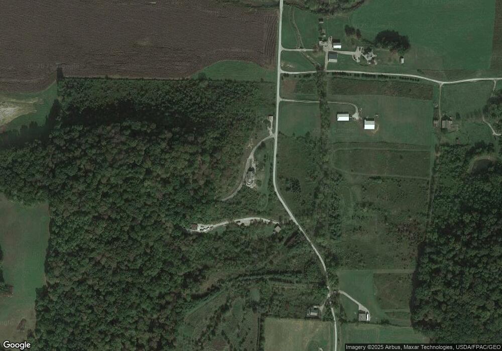
Map
Nearby Homes
- 0 Fast Rd
- 17519 Thompson Ridge Rd
- 19683 Thompson Ridge Rd
- 19970 Thompson Ridge Rd
- 19674 Bogg Rd
- 16900 Thompson Ridge Rd
- 15574 Long Run Rd
- 0 Thomas Rd Unit 225024288
- 18522 Krafter Rd
- 15586 Stump Run
- 16946 Ohio 56
- 0 Ohio 56
- 21531 Thompson Ridge Rd
- 11988 Main St
- 14120 Union Rd
- 30851 State Route 180
- 14212 Long Run Rd
- 20230 Buffalo Rd
- 15282 Clapper Hollow Rd
- 19990 Sowers Rd
- 17171 Sam Carr Rd
- 17259 Sam Carr Rd
- 17132 Sam Carr Rd
- 0 Sam Carr Rd Unit 222034410
- 0 Sam Carr Rd
- 17355 Sam Carr Rd
- 17072 Sam Carr Rd
- 17100 Sam Carr Rd
- 17549 Sam Carr Rd
- 17459 Sam Carr Rd
- 17010 Sam Carr Rd
- 17296 Sam Carr Rd
- 18296 State Route 180
- 18292 State Route 180
- 18206 State Route 180
- 18210 Ohio 180
- 18089 State Route 180
- 18100 Ohio 180
- 16752 Middlefork Rd
- 17325 Deffenbaugh Rd