Estimated Value: $323,000 - $409,000
2
Beds
1
Bath
1,564
Sq Ft
$235/Sq Ft
Est. Value
About This Home
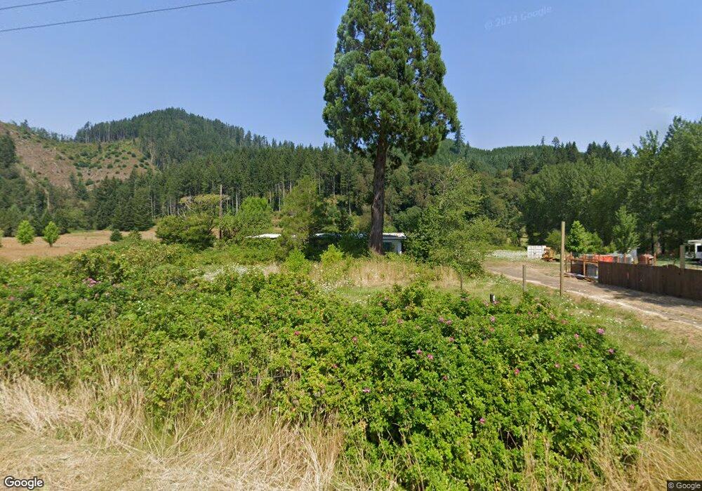
This home is located at 17173 Alsea Hwy, Alsea, OR 97324 and is currently estimated at $366,792, approximately $234 per square foot. 17173 Alsea Hwy is a home located in Benton County with nearby schools including Alsea Elementary School.
Ownership History
Date
Name
Owned For
Owner Type
Purchase Details
Closed on
Aug 29, 2024
Sold by
Elbers Keenan R
Bought by
Elbers Keenan R
Current Estimated Value
Purchase Details
Closed on
Jan 18, 2008
Sold by
Laiblin Grant W and Laiblin Peggy M
Bought by
Laiblin Richard A
Home Financials for this Owner
Home Financials are based on the most recent Mortgage that was taken out on this home.
Original Mortgage
$135,500
Interest Rate
5.96%
Mortgage Type
Unknown
Purchase Details
Closed on
Sep 10, 2004
Sold by
Campbell Karen L
Bought by
Laiblin Grant W and Laiblin Peggy M
Purchase Details
Closed on
Dec 12, 1988
Bought by
Sterling Savings Association
Create a Home Valuation Report for This Property
The Home Valuation Report is an in-depth analysis detailing your home's value as well as a comparison with similar homes in the area
Home Values in the Area
Average Home Value in this Area
Purchase History
| Date | Buyer | Sale Price | Title Company |
|---|---|---|---|
| Elbers Keenan R | -- | None Listed On Document | |
| Laiblin Richard A | -- | First American Title | |
| Laiblin Grant W | $50,000 | -- | |
| Sterling Savings Association | -- | -- |
Source: Public Records
Mortgage History
| Date | Status | Borrower | Loan Amount |
|---|---|---|---|
| Previous Owner | Laiblin Richard A | $135,500 |
Source: Public Records
Tax History Compared to Growth
Tax History
| Year | Tax Paid | Tax Assessment Tax Assessment Total Assessment is a certain percentage of the fair market value that is determined by local assessors to be the total taxable value of land and additions on the property. | Land | Improvement |
|---|---|---|---|---|
| 2025 | $1,874 | $220,478 | -- | -- |
| 2024 | $1,874 | $146,774 | -- | -- |
| 2023 | $1,834 | $142,499 | $0 | $0 |
| 2022 | $1,755 | $138,349 | $0 | $0 |
| 2021 | $1,755 | $134,319 | $0 | $0 |
| 2020 | $1,586 | $130,407 | $0 | $0 |
| 2019 | $1,461 | $126,609 | $0 | $0 |
| 2018 | $1,472 | $122,921 | $0 | $0 |
| 2017 | $1,454 | $119,341 | $0 | $0 |
| 2016 | $1,409 | $115,865 | $0 | $0 |
| 2015 | $1,377 | $112,490 | $0 | $0 |
| 2014 | $1,350 | $109,214 | $0 | $0 |
| 2012 | -- | $102,945 | $0 | $0 |
Source: Public Records
Map
Nearby Homes
- 17126 Alsea Hwy
- 17246 Alsea Hwy
- 18487 Alsea Hwy
- 0 S Fork Rd Unit 23615778
- 18591 Alsea Hwy
- 176 W Main St
- Next to 26140 Alsea-Deadwood Hwy
- Lot 1 & 2 Main St
- 1836 Little Switzerland Rd
- 274 E Brilemar St
- TL103 Little Switzerland Rd
- lot Pioneer St
- 0 Lot Pioneer St Unit 835915
- 154 E Trafzer Ln
- 2 E Aldersprings Rd
- 23255 E Alsea Hwy
- 442 E Bain Dr
- 92976 Deadwood Creek Rd
- 20317 Oregon 36
- 94296 Horton Rd