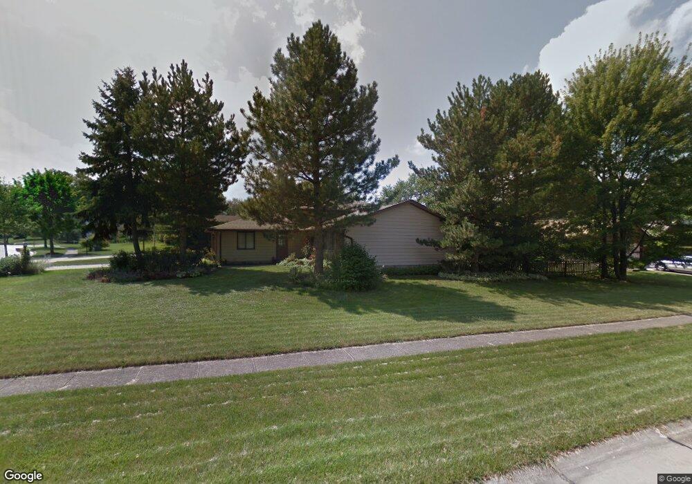
17176 Misty Lake Dr Strongsville, OH 44136
Estimated Value: $341,000 - $383,000
3
Beds
3
Baths
2,286
Sq Ft
$160/Sq Ft
Est. Value
About This Home
This home is located at 17176 Misty Lake Dr, Strongsville, OH 44136 and is currently estimated at $364,687, approximately $159 per square foot. 17176 Misty Lake Dr is a home located in Cuyahoga County with nearby schools including Strongsville High School.
Ownership History
Date
Name
Owned For
Owner Type
Purchase Details
Closed on
Jul 20, 1988
Sold by
Schumaker Randy W and Schumaker Deidre A
Bought by
Gatti Joeo M
Current Estimated Value
Purchase Details
Closed on
Dec 12, 1984
Sold by
Schumaker Randy W
Bought by
Schumaker Randy W and Schumaker Deidre A
Purchase Details
Closed on
Jun 22, 1983
Sold by
Bimonte Anthony M
Bought by
Schumaker Randy W
Purchase Details
Closed on
Aug 3, 1978
Bought by
Bimonte Anthony M
Purchase Details
Closed on
May 16, 1977
Bought by
Sunshine Bldg Co
Purchase Details
Closed on
Jan 1, 1977
Bought by
North East Land Co
Create a Home Valuation Report for This Property
The Home Valuation Report is an in-depth analysis detailing your home's value as well as a comparison with similar homes in the area
Home Values in the Area
Average Home Value in this Area
Purchase History
| Date | Buyer | Sale Price | Title Company |
|---|---|---|---|
| Gatti Joeo M | $116,000 | -- | |
| Schumaker Randy W | -- | -- | |
| Schumaker Randy W | $88,000 | -- | |
| Bimonte Anthony M | $77,500 | -- | |
| Sunshine Bldg Co | $46,000 | -- | |
| North East Land Co | -- | -- |
Source: Public Records
Tax History Compared to Growth
Tax History
| Year | Tax Paid | Tax Assessment Tax Assessment Total Assessment is a certain percentage of the fair market value that is determined by local assessors to be the total taxable value of land and additions on the property. | Land | Improvement |
|---|---|---|---|---|
| 2024 | $4,853 | $103,355 | $21,280 | $82,075 |
| 2023 | $5,093 | $81,340 | $21,560 | $59,780 |
| 2022 | $5,056 | $81,340 | $21,560 | $59,780 |
| 2021 | $5,016 | $81,340 | $21,560 | $59,780 |
| 2020 | $4,648 | $66,680 | $17,680 | $49,000 |
| 2019 | $4,512 | $190,500 | $50,500 | $140,000 |
| 2018 | $4,074 | $66,680 | $17,680 | $49,000 |
| 2017 | $4,128 | $62,230 | $14,000 | $48,230 |
| 2016 | $4,095 | $62,230 | $14,000 | $48,230 |
| 2015 | $4,153 | $62,230 | $14,000 | $48,230 |
| 2014 | $4,153 | $62,230 | $14,000 | $48,230 |
Source: Public Records
Map
Nearby Homes
- 16486 S Red Rock Dr
- 17130 Golden Star Dr
- 18229 Howe Rd
- 17159 Turkey Meadow Ln
- 16711 Beech Cir
- 17682 Drake Rd
- 17024 Bear Creek Ln
- 16650 Lanier Ave
- 18411 Yorktown Oval
- 17934 Cambridge Oval
- 18294 Drake Rd
- 3550 Boston Rd
- 16450 Howe Rd
- 15604-REAR Boston Rd
- 19694 Benbow Rd
- 14985 Camden Cir
- 19740 Benbow Rd
- 18987 Laurell Cir
- 97 Weathervane Ln
- 15188 Trails Landing
- 17180 Misty Lake Dr
- 16539 Pepper Grass Cir
- 17184 Misty Lake Dr
- 16543 Peppergrass Cir
- 16524 Pepper Grass Cir
- 16543 Pepper Grass Cir
- 16528 Pepper Grass Cir
- 17175 Misty Lake Dr
- 16542 Timberline Dr
- 16526 Timberline Dr
- 16532 Pepper Grass Cir
- 16546 Timberline Dr
- 17173 Misty Lake Dr
- 16547 Pepper Grass Cir
- 16524 Timberline Dr
- 17168 Misty Lake Dr
- 16536 Pepper Grass Cir
- 16550 Timberline Dr
- 16548 Pepper Grass Cir
- 16522 Timberline Dr