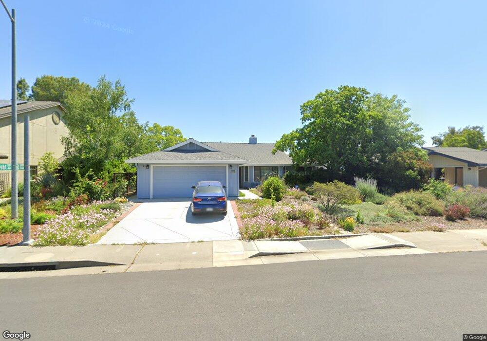
1718 Astoria St Davis, CA 95616
West Davis NeighborhoodEstimated Value: $769,000 - $924,000
4
Beds
2
Baths
2,248
Sq Ft
$375/Sq Ft
Est. Value
About This Home
This home is located at 1718 Astoria St, Davis, CA 95616 and is currently estimated at $842,966, approximately $374 per square foot. 1718 Astoria St is a home located in Yolo County with nearby schools including Patwin Elementary School, Ralph Waldo Emerson Junior High School, and Davis Senior High School.
Ownership History
Date
Name
Owned For
Owner Type
Purchase Details
Closed on
May 21, 2003
Sold by
Carlson Daryl E and Carlson Susan P
Bought by
Carlson Daryl E and Carlson Susan P
Current Estimated Value
Home Financials for this Owner
Home Financials are based on the most recent Mortgage that was taken out on this home.
Original Mortgage
$130,500
Interest Rate
5.77%
Mortgage Type
Purchase Money Mortgage
Create a Home Valuation Report for This Property
The Home Valuation Report is an in-depth analysis detailing your home's value as well as a comparison with similar homes in the area
Home Values in the Area
Average Home Value in this Area
Purchase History
| Date | Buyer | Sale Price | Title Company |
|---|---|---|---|
| Carlson Daryl E | -- | Fidelity National Title |
Source: Public Records
Mortgage History
| Date | Status | Borrower | Loan Amount |
|---|---|---|---|
| Closed | Carlson Daryl E | $130,500 |
Source: Public Records
Tax History
| Year | Tax Paid | Tax Assessment Tax Assessment Total Assessment is a certain percentage of the fair market value that is determined by local assessors to be the total taxable value of land and additions on the property. | Land | Improvement |
|---|---|---|---|---|
| 2025 | $5,554 | $386,534 | $99,550 | $286,984 |
| 2023 | $5,554 | $371,527 | $95,686 | $275,841 |
| 2022 | $5,309 | $364,243 | $93,810 | $270,433 |
| 2021 | $5,174 | $357,102 | $91,971 | $265,131 |
| 2020 | $5,086 | $353,441 | $91,028 | $262,413 |
| 2019 | $4,801 | $346,512 | $89,244 | $257,268 |
| 2018 | $4,482 | $339,719 | $87,495 | $252,224 |
| 2017 | $4,384 | $333,059 | $85,780 | $247,279 |
| 2016 | $4,226 | $326,530 | $84,099 | $242,431 |
| 2015 | $4,081 | $321,626 | $82,836 | $238,790 |
| 2014 | $4,081 | $315,327 | $81,214 | $234,113 |
Source: Public Records
Map
Nearby Homes
- 3203 Morro Bay Ave
- 3124 Woods Cir
- 3211 Chesapeake Bay Ave
- 3152 Woods Cir
- 1317 Lake Blvd
- 2806 Ganges Ave
- 2216 Bryce Ln
- 3216 Trawler Place
- 3401 Bermuda Ave Unit 6
- 627 Marina Cir Unit 1
- 3368 Houser Ct
- 2526 Overhill Ln
- 3360 Houser Ct
- 3303 Houser Ct
- 1814 Foster Ln
- 1932 Chasen Ln
- 1815 Foster Ln
- 2705 Brandywine Place
- 5709 Thomson Loop
- 1838 Foster Ln
- 1714 Astoria St
- 1800 Astoria St
- 1712 Astoria St
- 1806 Astoria St
- 1708 Astoria St
- 1706 Astoria St
- 1808 Astoria St
- 3302 Seabright Ave
- 3301 Seabright Ave
- 1702 Astoria St
- 3216 Morro Bay Ave
- 3308 Seabright Ave
- 1705 Astoria St
- 3210 Morro Bay Ave
- 3222 Morro Bay Ave
- 1700 Astoria St
- 3218 Morro Bay Ave
- 3307 Seabright Ave
- 3310 Seabright Ave
- 3497 Oyster Bay Ave
Your Personal Tour Guide
Ask me questions while you tour the home.