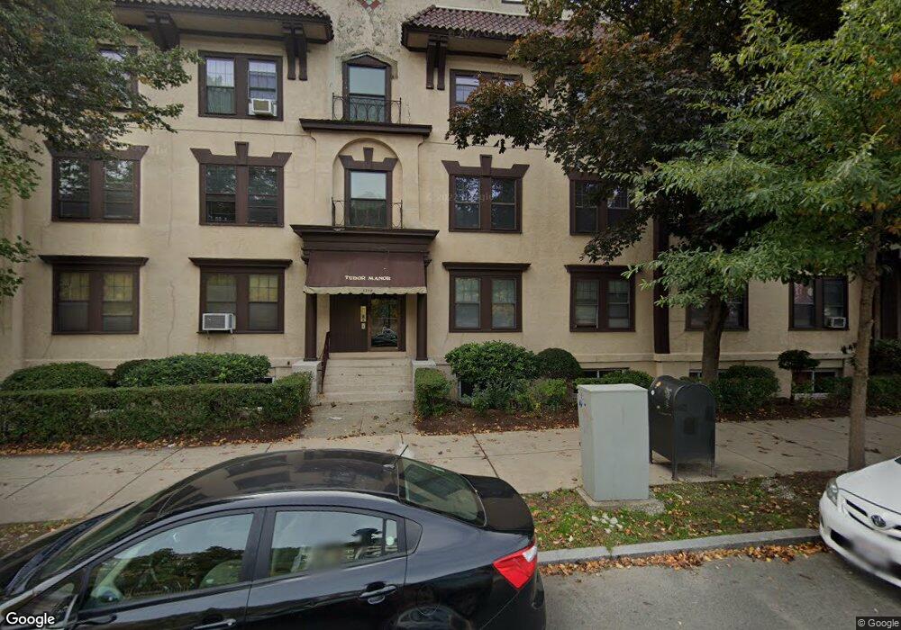
1718 Commonwealth Ave Unit 4 Brighton, MA 02135
Commonwealth NeighborhoodEstimated Value: $459,000 - $563,000
2
Beds
1
Bath
800
Sq Ft
$626/Sq Ft
Est. Value
About This Home
This home is located at 1718 Commonwealth Ave Unit 4, Brighton, MA 02135 and is currently estimated at $500,478, approximately $625 per square foot. 1718 Commonwealth Ave Unit 4 is a home located in Suffolk County with nearby schools including Shaloh House Jewish Day School, St Columbkille Partnership School, and Bais Yaakov Of Boston High School.
Ownership History
Date
Name
Owned For
Owner Type
Purchase Details
Closed on
Jan 31, 1989
Sold by
Liter Rt
Bought by
Bochman Judith A
Current Estimated Value
Home Financials for this Owner
Home Financials are based on the most recent Mortgage that was taken out on this home.
Original Mortgage
$96,000
Interest Rate
10.66%
Mortgage Type
Purchase Money Mortgage
Create a Home Valuation Report for This Property
The Home Valuation Report is an in-depth analysis detailing your home's value as well as a comparison with similar homes in the area
Home Values in the Area
Average Home Value in this Area
Purchase History
| Date | Buyer | Sale Price | Title Company |
|---|---|---|---|
| Bochman Judith A | $120,000 | -- |
Source: Public Records
Mortgage History
| Date | Status | Borrower | Loan Amount |
|---|---|---|---|
| Closed | Bochman Judith A | $96,000 |
Source: Public Records
Tax History Compared to Growth
Tax History
| Year | Tax Paid | Tax Assessment Tax Assessment Total Assessment is a certain percentage of the fair market value that is determined by local assessors to be the total taxable value of land and additions on the property. | Land | Improvement |
|---|---|---|---|---|
| 2025 | $4,789 | $413,600 | $0 | $413,600 |
| 2024 | $4,220 | $387,200 | $0 | $387,200 |
| 2023 | $4,159 | $387,200 | $0 | $387,200 |
| 2022 | $3,974 | $365,300 | $0 | $365,300 |
| 2021 | $3,898 | $365,300 | $0 | $365,300 |
| 2020 | $3,640 | $344,700 | $0 | $344,700 |
| 2019 | $3,563 | $338,000 | $0 | $338,000 |
| 2018 | $3,312 | $316,000 | $0 | $316,000 |
| 2017 | $3,099 | $292,600 | $0 | $292,600 |
| 2016 | $2,952 | $268,400 | $0 | $268,400 |
| 2015 | $2,972 | $245,400 | $0 | $245,400 |
| 2014 | $2,805 | $223,000 | $0 | $223,000 |
Source: Public Records
Map
Nearby Homes
- 1710 Commonwealth Ave Unit 3
- 100 Lanark Rd Unit A
- 8 Kinross Rd Unit 2
- 1691 Commonwealth Ave Unit 31
- 57 Nottinghill Rd
- 24 Selkirk Rd Unit 24-4
- 140 Kilsyth Rd Unit 8
- 56-58 Selkirk Rd
- 1789 Commonwealth Ave
- 36 Colborne Rd
- 1669 Commonwealth Ave Unit 3
- 15 Colliston Rd Unit 6
- 38 Ransom Rd Unit 12
- 97 Strathmore Rd Unit 4
- 65 Strathmore Rd Unit 49
- 51 Wallingford Rd Unit 53
- 1666 Commonwealth Ave Unit 24
- 123 Nottinghill Rd Unit 1
- 36 Cummings Rd Unit 1
- 88 Strathmore Rd Unit 7
- 1718 Commonwealth Ave Unit 8
- 1718 Commonwealth Ave Unit 7
- 1718 Commonwealth Ave Unit 6
- 1718 Commonwealth Ave Unit 5
- 1718 Commonwealth Ave Unit 3
- 1718 Commonwealth Ave Unit 2
- 1718 Commonwealth Ave Unit 1
- 1718 Commonwealth Ave
- 1718 Commonwealth Ave
- 1714 Commonwealth Ave Unit 8
- 1714 Commonwealth Ave Unit 7
- 1714 Commonwealth Ave Unit 6
- 1714 Commonwealth Ave Unit 5
- 1714 Commonwealth Ave Unit 4
- 1714 Commonwealth Ave Unit 3
- 1714 Commonwealth Ave Unit 2
- 1714 Commonwealth Ave Unit 1
- 1714 Commonwealth Ave Unit 17
- 1714 Commonwealth Ave Unit 18
- 1714 Commonwealth Ave