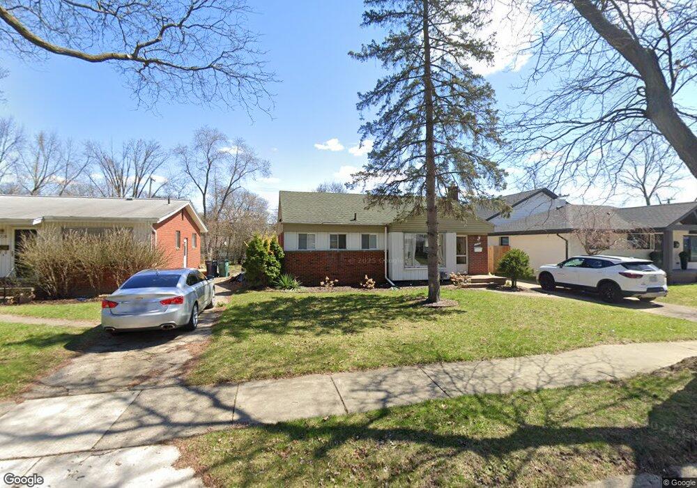
1718 Cresthill Ave Unit Bldg-Unit Royal Oak, MI 48073
Estimated Value: $301,000 - $319,000
3
Beds
2
Baths
897
Sq Ft
$348/Sq Ft
Est. Value
About This Home
This home is located at 1718 Cresthill Ave Unit Bldg-Unit, Royal Oak, MI 48073 and is currently estimated at $312,398, approximately $348 per square foot. 1718 Cresthill Ave Unit Bldg-Unit is a home located in Oakland County with nearby schools including Alfred E. Upton Elementary School, Royal Oak Middle School, and Royal Oak High School.
Ownership History
Date
Name
Owned For
Owner Type
Purchase Details
Closed on
May 26, 2022
Sold by
David Yu
Bought by
Yu David and Paulson Anna
Current Estimated Value
Purchase Details
Closed on
Sep 4, 2013
Sold by
Lerch Richard J
Bought by
Lerch Enterprises Llc
Purchase Details
Closed on
Nov 30, 2012
Sold by
Lerch Richard J and Estate Of Robert F Lerch
Bought by
Lerch Richard J
Purchase Details
Closed on
Dec 12, 2011
Sold by
Lerch Richard J and Lerch Robert F
Bought by
Lerch Robert F
Purchase Details
Closed on
Apr 20, 2000
Sold by
Lerch Josef
Bought by
Nada J Lerch Tr
Create a Home Valuation Report for This Property
The Home Valuation Report is an in-depth analysis detailing your home's value as well as a comparison with similar homes in the area
Home Values in the Area
Average Home Value in this Area
Purchase History
| Date | Buyer | Sale Price | Title Company |
|---|---|---|---|
| Yu David | -- | None Listed On Document | |
| Lerch Enterprises Llc | -- | None Available | |
| Lerch Richard J | -- | None Available | |
| Lerch Robert F | -- | None Available | |
| Nada J Lerch Tr | -- | -- |
Source: Public Records
Tax History Compared to Growth
Tax History
| Year | Tax Paid | Tax Assessment Tax Assessment Total Assessment is a certain percentage of the fair market value that is determined by local assessors to be the total taxable value of land and additions on the property. | Land | Improvement |
|---|---|---|---|---|
| 2024 | $5,689 | $123,680 | $0 | $0 |
| 2022 | $3,525 | $97,700 | $0 | $0 |
| 2020 | $5,487 | $89,850 | $0 | $0 |
| 2018 | $3,525 | $82,070 | $0 | $0 |
| 2017 | $3,202 | $82,070 | $0 | $0 |
| 2015 | -- | $75,620 | $0 | $0 |
| 2014 | -- | $69,720 | $0 | $0 |
| 2011 | -- | $61,000 | $0 | $0 |
Source: Public Records
Map
Nearby Homes
- 4227 Crooks Rd
- 4101 Devon Rd
- 4019 Devon Rd
- 4345 Crooks Rd Unit 36
- 4345 Crooks Rd Unit 24
- 1502 Normandy Rd Unit 113
- 4102 Woodland Ave
- 406 S Webik Ave
- 4112 Elmhurst Ave
- 1807 Samoset Rd
- 4115 Elmhurst Ave
- 3601 Durham Rd
- 3526 Durham Rd
- 342 S Manitou Ave
- 3532 Woodland Ave
- 2511 Massoit Rd
- 4702 Thorncroft Ave
- 2500 Normandy Rd Unit 46
- 2500 Normandy Rd Unit 29
- 2500 Normandy Rd Unit 41
- 1718 Cresthill Ave
- 1718 Cresthill Ave
- 1728 Cresthill Ave
- 1712 Cresthill Ave
- 1730 Cresthill Ave
- 1708 Cresthill Ave
- 4211 Crooks Rd
- 1732 Cresthill Ave
- 1702 Cresthill Ave
- 4207 Crooks Rd
- 1719 Cresthill Ave
- 1723 Cresthill Ave
- 1713 Cresthill Ave
- 4233 Crooks Rd
- 4205 Crooks Rd
- 1729 Cresthill Ave
- 1709 Cresthill Ave
- 1738 Cresthill Ave
- 4237 Crooks Rd
- 1737 Cresthill Ave