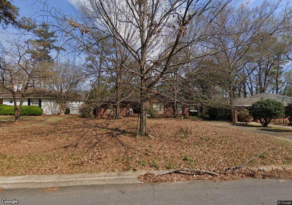
1718 Dell Dr Columbus, GA 31906
Wyntonn Grove NeighborhoodEstimated Value: $234,130 - $273,000
3
Beds
3
Baths
1,752
Sq Ft
$144/Sq Ft
Est. Value
About This Home
This home is located at 1718 Dell Dr, Columbus, GA 31906 and is currently estimated at $252,033, approximately $143 per square foot. 1718 Dell Dr is a home located in Muscogee County with nearby schools including Clubview Elementary School, Richards Middle School, and Hardaway High School.
Ownership History
Date
Name
Owned For
Owner Type
Purchase Details
Closed on
Oct 13, 2016
Sold by
Alice T
Bought by
Mack Ronald M
Current Estimated Value
Purchase Details
Closed on
May 25, 2007
Sold by
Jones Bradley S
Bought by
Townsend Alice Elizabeth
Home Financials for this Owner
Home Financials are based on the most recent Mortgage that was taken out on this home.
Original Mortgage
$143,000
Interest Rate
6.16%
Create a Home Valuation Report for This Property
The Home Valuation Report is an in-depth analysis detailing your home's value as well as a comparison with similar homes in the area
Home Values in the Area
Average Home Value in this Area
Purchase History
| Date | Buyer | Sale Price | Title Company |
|---|---|---|---|
| Mack Ronald M | $162,000 | -- | |
| Townsend Alice Elizabeth | $218,000 | None Available |
Source: Public Records
Mortgage History
| Date | Status | Borrower | Loan Amount |
|---|---|---|---|
| Previous Owner | Townsend Alice Elizabeth | $143,000 |
Source: Public Records
Tax History Compared to Growth
Tax History
| Year | Tax Paid | Tax Assessment Tax Assessment Total Assessment is a certain percentage of the fair market value that is determined by local assessors to be the total taxable value of land and additions on the property. | Land | Improvement |
|---|---|---|---|---|
| 2025 | $2,789 | $71,236 | $17,664 | $53,572 |
| 2024 | $2,789 | $71,236 | $17,664 | $53,572 |
| 2023 | $2,484 | $76,800 | $17,664 | $59,136 |
| 2022 | $2,335 | $71,292 | $17,664 | $53,628 |
| 2021 | $2,335 | $57,176 | $17,664 | $39,512 |
| 2020 | $2,335 | $57,176 | $17,664 | $39,512 |
| 2019 | $2,084 | $59,844 | $17,664 | $42,180 |
| 2018 | $2,452 | $59,844 | $17,664 | $42,180 |
| 2017 | $2,460 | $59,844 | $17,664 | $42,180 |
| 2016 | $3,051 | $87,233 | $8,960 | $78,273 |
| 2015 | $3,055 | $87,233 | $8,960 | $78,273 |
| 2014 | $3,059 | $87,233 | $8,960 | $78,273 |
| 2013 | $3,065 | $87,233 | $8,960 | $78,273 |
Source: Public Records
Map
Nearby Homes
- 1903 Marilon Dr
- 1714 Iris Dr
- 1712 Marilon Dr
- 2010 Wells Dr
- 1500 Preston Dr
- 2911 Gardenia St
- 2916 Gardenia St
- 2940 Birchfield Dr
- 1513 Wells Dr
- 2604 Sue MacK Dr
- 2576 Habersham Ave
- 2533 15th St
- 1301 Rigdon Rd
- 2637 Sue MacK Dr
- 1310 S Dixon Dr
- 2817 Carson Dr
- 1700 Stark Ave
- 1706 Stark Ave
- 1806 Stark Ave
- 1717 Stark Ave