1718 N State Route 7 Independence, MO 64056
Rainbow NeighborhoodEstimated Value: $316,000 - $631,000
3
Beds
1
Bath
1,434
Sq Ft
$318/Sq Ft
Est. Value
About This Home
This home is located at 1718 N State Route 7, Independence, MO 64056 and is currently estimated at $455,785, approximately $317 per square foot. 1718 N State Route 7 is a home located in Jackson County with nearby schools including Fort Osage High School.
Ownership History
Date
Name
Owned For
Owner Type
Purchase Details
Closed on
Jun 18, 2025
Sold by
Sally J Mcdaniel Trust and Mcdaniel Sally J
Bought by
Bluebird Hill Llc
Current Estimated Value
Home Financials for this Owner
Home Financials are based on the most recent Mortgage that was taken out on this home.
Original Mortgage
$412,500
Outstanding Balance
$411,441
Interest Rate
6.81%
Mortgage Type
Credit Line Revolving
Estimated Equity
$44,344
Purchase Details
Closed on
Aug 8, 2005
Sold by
Mcdaniel Michael A and Mcdaniel Sally J
Bought by
Mcdaniel Michael A and Mcdaniel Sally J
Create a Home Valuation Report for This Property
The Home Valuation Report is an in-depth analysis detailing your home's value as well as a comparison with similar homes in the area
Home Values in the Area
Average Home Value in this Area
Purchase History
| Date | Buyer | Sale Price | Title Company |
|---|---|---|---|
| Bluebird Hill Llc | -- | Alliance Nationwide Title | |
| Mcdaniel Michael A | -- | -- |
Source: Public Records
Mortgage History
| Date | Status | Borrower | Loan Amount |
|---|---|---|---|
| Open | Bluebird Hill Llc | $412,500 |
Source: Public Records
Tax History Compared to Growth
Tax History
| Year | Tax Paid | Tax Assessment Tax Assessment Total Assessment is a certain percentage of the fair market value that is determined by local assessors to be the total taxable value of land and additions on the property. | Land | Improvement |
|---|---|---|---|---|
| 2025 | $3,324 | $42,966 | $11,092 | $31,874 |
| 2024 | $3,324 | $41,861 | $26,917 | $14,944 |
| 2023 | $3,308 | $41,861 | $13,241 | $28,620 |
| 2022 | $2,703 | $32,490 | $5,852 | $26,638 |
| 2021 | $2,702 | $32,490 | $5,852 | $26,638 |
| 2020 | $2,410 | $28,582 | $5,852 | $22,730 |
| 2019 | $2,386 | $28,582 | $5,852 | $22,730 |
| 2018 | $2,090 | $24,876 | $5,093 | $19,783 |
| 2017 | $1,867 | $24,876 | $5,093 | $19,783 |
| 2016 | $1,867 | $24,253 | $9,466 | $14,787 |
| 2014 | $1,877 | $24,253 | $9,466 | $14,787 |
Source: Public Records
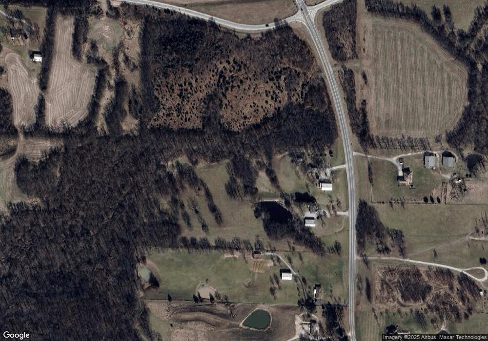
Map
Nearby Homes
- 1622 N Charlton Rd
- 0 E Blue Mills Rd Unit 1992136
- 1515 N Elsea Smith Rd
- 701 N Bly Rd
- 2801 N Lentz Rd
- 512 N Bly Rd
- 20912 E Us Highway 24
- 27704 E Us Highway 24
- 3410 N Perrin Rd
- 26820 E Heidelberger Rd
- 1330 N Lake City Valley Rd
- 27900 E Carswell Rd
- 1105 N Powell Rd
- 1401 N Powell Rd
- 20408 E 15th Terrace N
- 1709 N Hanover Ave
- 3724 N Perrin Rd
- 20213 E 14th Terrace Ct N
- 1923 N Blue Mills Rd
- 20107 E Blue Mills Ct
- 1715 N State Route 7
- 1615 N State Route 7
- 1701 N State Route 7
- 1580 Missouri 7
- 1515 N State Route 7
- 23910 E Us Highway 24
- 24006 E Us Highway 24
- 2016 N Twyman Rd
- 23902 E Us Highway 24
- 1416 N State Route 7
- 2024 N Twyman Rd
- 1501 N State Route 7
- 1400 N Bill Johnson Rd
- 1300 N Bill Johnson Rd
- 1316 N State Route 7
- 1315 N Bill Johnson Rd
- 25601 E Us Highway 24
- 24708 E Us Highway 24
- 1250 N Bill Johnson Rd
- 2212 N Twyman Rd