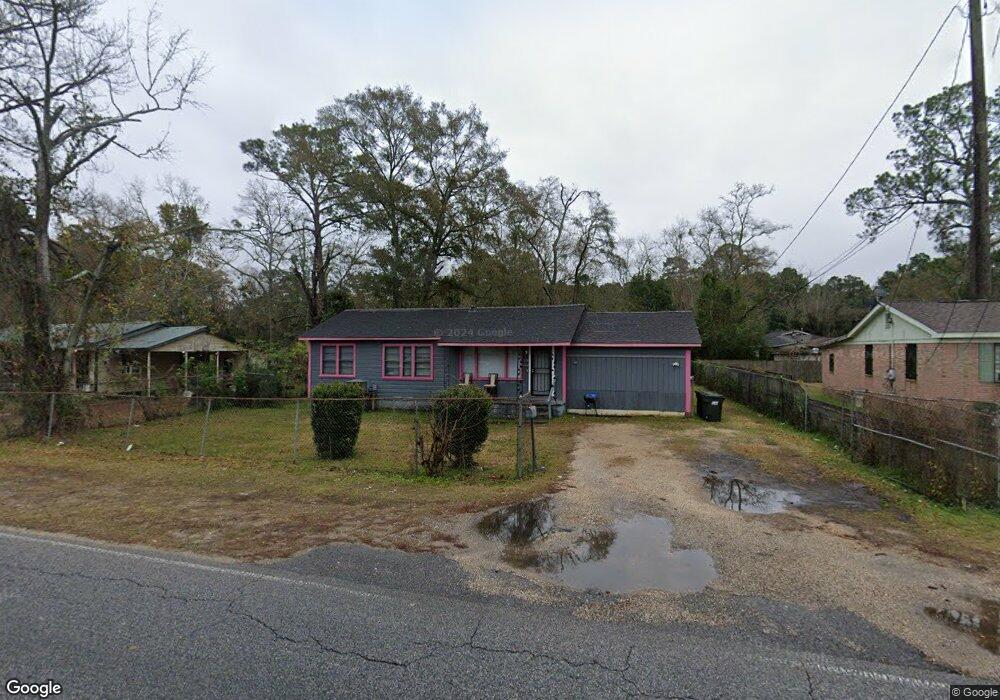
1719 Bear Fork Rd Mobile, AL 36612
Whistler NeighborhoodEstimated Value: $40,000 - $84,000
4
Beds
2
Baths
1,960
Sq Ft
$32/Sq Ft
Est. Value
About This Home
This home is located at 1719 Bear Fork Rd, Mobile, AL 36612 and is currently estimated at $62,436, approximately $31 per square foot. 1719 Bear Fork Rd is a home located in Mobile County with nearby schools including Chastang-Fournier K-8 School, Vigor High School, and Prichard Preparatory School.
Ownership History
Date
Name
Owned For
Owner Type
Purchase Details
Closed on
Jun 14, 2024
Sold by
Love Harmony
Bought by
Blue Marathon Inv Group 2 Llc
Current Estimated Value
Home Financials for this Owner
Home Financials are based on the most recent Mortgage that was taken out on this home.
Original Mortgage
$50,000
Outstanding Balance
$26,324
Interest Rate
7.09%
Mortgage Type
New Conventional
Estimated Equity
$36,112
Purchase Details
Closed on
Jan 9, 2020
Sold by
Kings Pointe Property Llc
Bought by
Love Harmony
Create a Home Valuation Report for This Property
The Home Valuation Report is an in-depth analysis detailing your home's value as well as a comparison with similar homes in the area
Home Values in the Area
Average Home Value in this Area
Purchase History
| Date | Buyer | Sale Price | Title Company |
|---|---|---|---|
| Blue Marathon Inv Group 2 Llc | $39,500 | None Listed On Document | |
| Love Harmony | $22,800 | Gtc |
Source: Public Records
Mortgage History
| Date | Status | Borrower | Loan Amount |
|---|---|---|---|
| Open | Blue Marathon Inv Group 2 Llc | $50,000 |
Source: Public Records
Tax History
| Year | Tax Paid | Tax Assessment Tax Assessment Total Assessment is a certain percentage of the fair market value that is determined by local assessors to be the total taxable value of land and additions on the property. | Land | Improvement |
|---|---|---|---|---|
| 2025 | $512 | $8,160 | $1,000 | $7,160 |
| 2024 | $512 | $7,800 | $740 | $7,060 |
| 2023 | $480 | $5,120 | $740 | $4,380 |
| 2022 | $315 | $5,120 | $740 | $4,380 |
| 2021 | $315 | $5,120 | $740 | $4,380 |
| 2020 | $556 | $9,040 | $740 | $8,300 |
| 2019 | $598 | $9,720 | $900 | $8,820 |
| 2018 | $598 | $9,720 | $0 | $0 |
| 2017 | $598 | $9,720 | $0 | $0 |
| 2016 | $625 | $10,160 | $0 | $0 |
| 2013 | $704 | $10,820 | $0 | $0 |
Source: Public Records
Map
Nearby Homes
- 3603 St Stephens Rd
- 0 Bear Fork Rd Unit 7268786
- 3728 Vinewood Dr
- 1705 Wolf Ridge Rd
- 3514 Anton St
- 3531 Anton St
- 752 Elba Ave
- 814 S Wasson Ave
- 1659 Hand Ave
- 638 Elba Ave
- 1904 S Shelton Beach Rd
- 1734 S Atmore Ave
- 2970 Persons St
- 300 S Shelton Beach Rd
- 4304 Dalton Dr
- 0 Junius Ln
- 0 Saint Stephens Rd Unit 385400
- 00 U S 45
- 2210 Wolf Ridge Rd
- 4453 Myers Rd
- 1727 Bear Fork Rd
- 1715 Bear Fork Rd
- 1710 Maglee Ave
- 1702 Maglee Ave
- 1733 Bear Fork Rd
- 1714 Maglee Ave
- 1705 Bear Fork Rd
- 1720 Bear Fork Rd
- 3702 Owens St
- 1712 Bear Fork Rd
- 1722 Maglee Ave
- 1701 Bear Fork Rd
- 1706 Bear Fork Rd
- 3708 Owens St
- 1721 Daniels Ave
- 1702 Bear Fork Rd
- 1717 Daniels Ave
- 1727 Daniels Ave
- 1709 Maglee Ave
- 1803 Bear Fork Rd
Your Personal Tour Guide
Ask me questions while you tour the home.