1719 Brookside Lay Cir Norcross, GA 30093
Estimated Value: $243,000 - $259,000
3
Beds
3
Baths
1,302
Sq Ft
$192/Sq Ft
Est. Value
About This Home
This home is located at 1719 Brookside Lay Cir, Norcross, GA 30093 and is currently estimated at $249,425, approximately $191 per square foot. 1719 Brookside Lay Cir is a home located in Gwinnett County with nearby schools including Graves Elementary School, Louise Radloff Middle School, and Meadowcreek High School.
Ownership History
Date
Name
Owned For
Owner Type
Purchase Details
Closed on
Oct 22, 2020
Sold by
Chukwudinma Julius Caesar N
Bought by
English Neal Jawanna D and English Donald J
Current Estimated Value
Home Financials for this Owner
Home Financials are based on the most recent Mortgage that was taken out on this home.
Original Mortgage
$191,468
Outstanding Balance
$168,704
Interest Rate
2.9%
Mortgage Type
FHA
Estimated Equity
$80,721
Purchase Details
Closed on
Jun 7, 2019
Sold by
Dang Hong P
Bought by
Chukwudinma Julius Caesar N
Purchase Details
Closed on
Oct 5, 2015
Sold by
Brookside Commons Llc
Bought by
Dang Hong P
Home Financials for this Owner
Home Financials are based on the most recent Mortgage that was taken out on this home.
Original Mortgage
$144,827
Interest Rate
3.93%
Mortgage Type
FHA
Create a Home Valuation Report for This Property
The Home Valuation Report is an in-depth analysis detailing your home's value as well as a comparison with similar homes in the area
Home Values in the Area
Average Home Value in this Area
Purchase History
| Date | Buyer | Sale Price | Title Company |
|---|---|---|---|
| English Neal Jawanna D | $195,000 | -- | |
| Chukwudinma Julius Caesar N | $185,000 | -- | |
| Dang Hong P | $147,500 | -- |
Source: Public Records
Mortgage History
| Date | Status | Borrower | Loan Amount |
|---|---|---|---|
| Open | English Neal Jawanna D | $191,468 | |
| Closed | English Neal Jawanna D | $6,825 | |
| Previous Owner | Dang Hong P | $144,827 |
Source: Public Records
Tax History Compared to Growth
Tax History
| Year | Tax Paid | Tax Assessment Tax Assessment Total Assessment is a certain percentage of the fair market value that is determined by local assessors to be the total taxable value of land and additions on the property. | Land | Improvement |
|---|---|---|---|---|
| 2025 | $3,091 | $111,880 | $14,000 | $97,880 |
| 2024 | $3,251 | $114,040 | $14,000 | $100,040 |
| 2023 | $3,251 | $111,040 | $22,000 | $89,040 |
| 2022 | $2,786 | $91,000 | $12,400 | $78,600 |
| 2021 | $2,517 | $75,480 | $12,400 | $63,080 |
| 2020 | $2,726 | $74,000 | $12,400 | $61,600 |
| 2019 | $2,207 | $70,120 | $12,400 | $57,720 |
| 2018 | $2,103 | $64,880 | $12,400 | $52,480 |
| 2016 | $2,101 | $59,000 | $9,600 | $49,400 |
| 2015 | $300 | $7,560 | $7,560 | $0 |
| 2014 | $302 | $7,560 | $7,560 | $0 |
Source: Public Records
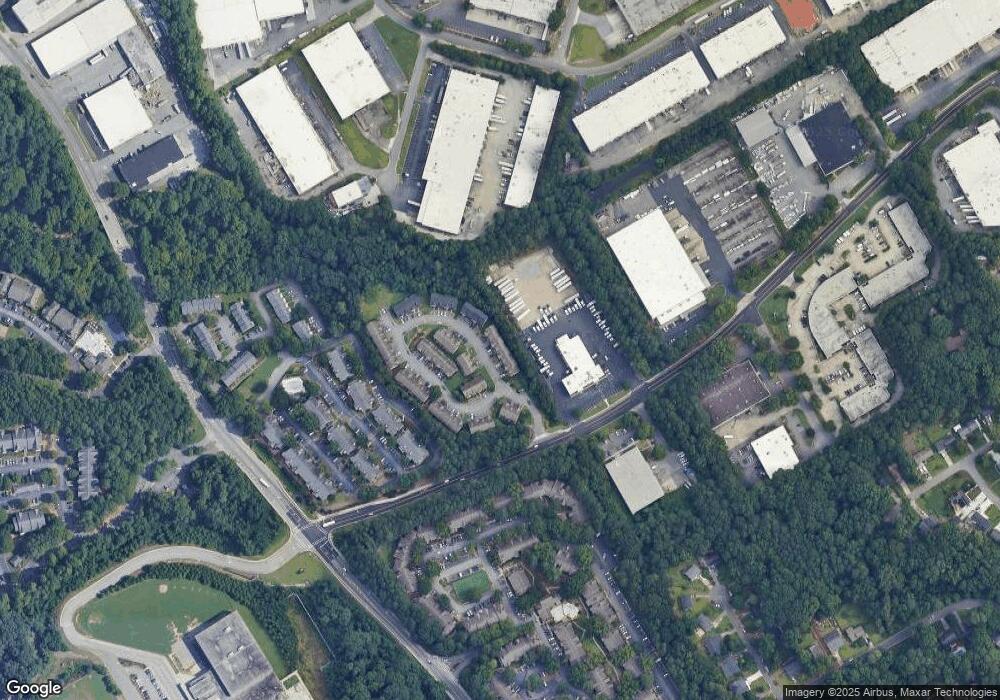
Map
Nearby Homes
- 1763 Brookside Lay Cir
- 1797 Brookside Lay Cir
- 805 Olde Mill Ln
- 6668 E Windsor Ln
- 6636 Witherington Ct NW
- 6636 Witherington Ct
- 6630 Witherington Ct Unit 601
- 6658 Witherington Ct NW
- 6419 Danbury Ln
- 6711 Colchester Place
- 6715 Colchester Place
- 6718 Colchester Place Unit 205
- 6716 Colchester Place
- 843 Seasons Pkwy
- 1596 Village Dr
- 6606 Wellington Square
- 1035 Seasons Pkwy Unit 1035
- 1576 Village Dr
- 6622 Wellington Square
- 1561 Danbury Dr
- 1717 Brookside Lay Cir Unit 1717
- 1717 Brookside Lay Cir
- 1723 Brookside Lay Cir
- 1715 Brookside Lay Cir Unit 1715
- 1715 Brookside Lay Cir
- 1725 Brookside Lay Cir
- 1729 Brookside Lay Cir
- 1729 Brookside Lay Cir Unit 1729
- 1718 Brookside Lay Cir
- 1720 Brookside Lay Cir
- 1722 Brookside Lay Cir
- 1814 Brookside Lay Cir
- 1731 Brookside Lay Cir Unit 38
- 1731 Brookside Lay Cir Unit 1731
- 1812 Brookside Lay Cir
- 1733 Brookside Lay Cir Unit 1733
- 1733 Brookside Lay Cir
- 1730 Brookside Lay Cir
- 1730 Brookside Lay Cir Unit 62