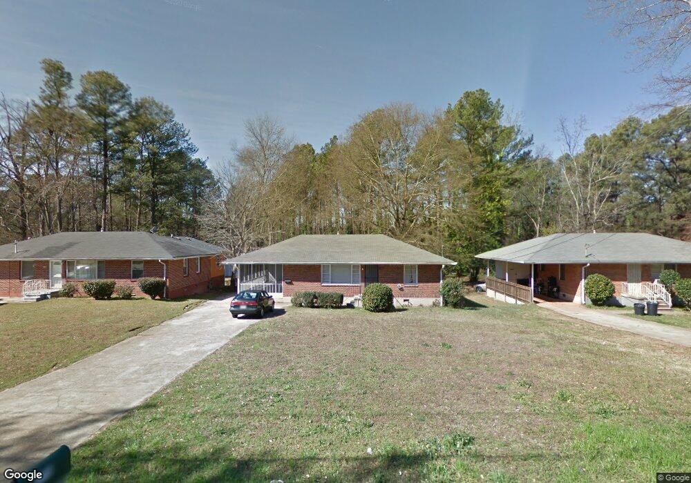
1719 Derrill Dr Decatur, GA 30032
Estimated Value: $166,000 - $201,106
3
Beds
1
Bath
1,056
Sq Ft
$174/Sq Ft
Est. Value
About This Home
This home is located at 1719 Derrill Dr, Decatur, GA 30032 and is currently estimated at $183,277, approximately $173 per square foot. 1719 Derrill Dr is a home located in DeKalb County with nearby schools including Peachcrest Elementary School, Mary McLeod Bethune Middle School, and Towers High School.
Ownership History
Date
Name
Owned For
Owner Type
Purchase Details
Closed on
Sep 7, 2007
Sold by
Wells Fargo Bk 2005-Fr5
Bought by
Gustoff Thomas
Current Estimated Value
Purchase Details
Closed on
Sep 5, 2006
Sold by
Walker Michael
Bought by
Wells Fargo Bk Na 2005-Fr5
Purchase Details
Closed on
Jun 1, 2005
Sold by
Wright Eddie B
Bought by
Walker Michael
Home Financials for this Owner
Home Financials are based on the most recent Mortgage that was taken out on this home.
Original Mortgage
$100,000
Interest Rate
5.69%
Mortgage Type
New Conventional
Purchase Details
Closed on
Apr 30, 1997
Sold by
Lee Maria B
Bought by
Wright Eddie B
Home Financials for this Owner
Home Financials are based on the most recent Mortgage that was taken out on this home.
Original Mortgage
$71,298
Interest Rate
7.95%
Mortgage Type
VA
Create a Home Valuation Report for This Property
The Home Valuation Report is an in-depth analysis detailing your home's value as well as a comparison with similar homes in the area
Home Values in the Area
Average Home Value in this Area
Purchase History
| Date | Buyer | Sale Price | Title Company |
|---|---|---|---|
| Gustoff Thomas | $74,000 | -- | |
| Wells Fargo Bk Na 2005-Fr5 | $104,908 | -- | |
| Walker Michael | $125,000 | -- | |
| Wright Eddie B | $69,900 | -- |
Source: Public Records
Mortgage History
| Date | Status | Borrower | Loan Amount |
|---|---|---|---|
| Previous Owner | Walker Michael | $100,000 | |
| Previous Owner | Wright Eddie B | $71,298 |
Source: Public Records
Tax History
| Year | Tax Paid | Tax Assessment Tax Assessment Total Assessment is a certain percentage of the fair market value that is determined by local assessors to be the total taxable value of land and additions on the property. | Land | Improvement |
|---|---|---|---|---|
| 2025 | $3,808 | $76,760 | $31,960 | $44,800 |
| 2024 | $3,989 | $81,000 | $31,960 | $49,040 |
| 2023 | $3,989 | $77,280 | $31,960 | $45,320 |
Source: Public Records
Map
Nearby Homes
- 1692 Derrill Dr
- 1737 Mckenzie Dr
- 1764 Thomas Terrace
- 1564 Columbia Dr
- 3570 Birdstone Dr
- 3089 Del Monico Dr
- 1847 Derrill Dr
- 1846 Shamrock Dr
- 3094 Santa Monica Dr
- 1554 Columbia Cir
- 1609 Tanager Cir
- 1529 N Columbia Place
- 1621 N Columbia Place
- 1881 Derrill Dr
- 1463 Columbia Dr
- 1885 Shoal Creek Blvd
- 3159 Bobolink Dr
- 1853 Pinedale Place
- 1827 Ridgeland Dr
- 3226 Bobolink Dr
- 1725 Derrill Dr
- 1715 Derrill Dr
- 1731 Derrill Dr
- 1709 Derrill Dr
- 1703 Derrill Dr
- 1724 Derrill Dr
- 1718 Derrill Dr
- 1714 Derrill Dr
- 1737 Derrill Dr
- 1730 Derrill Dr
- 1697 Derrill Dr
- 1708 Derrill Dr
- 1736 Derrill Dr Unit 13
- 1736 Derrill Dr
- 1718 Ivy Glenn Rd
- 1712 Ivy Glenn Rd
- 1702 Derrill Dr
- 1725 Thomas Terrace
- 1731 Thomas Terrace
- 1724 Ivy Glenn Rd
Your Personal Tour Guide
Ask me questions while you tour the home.