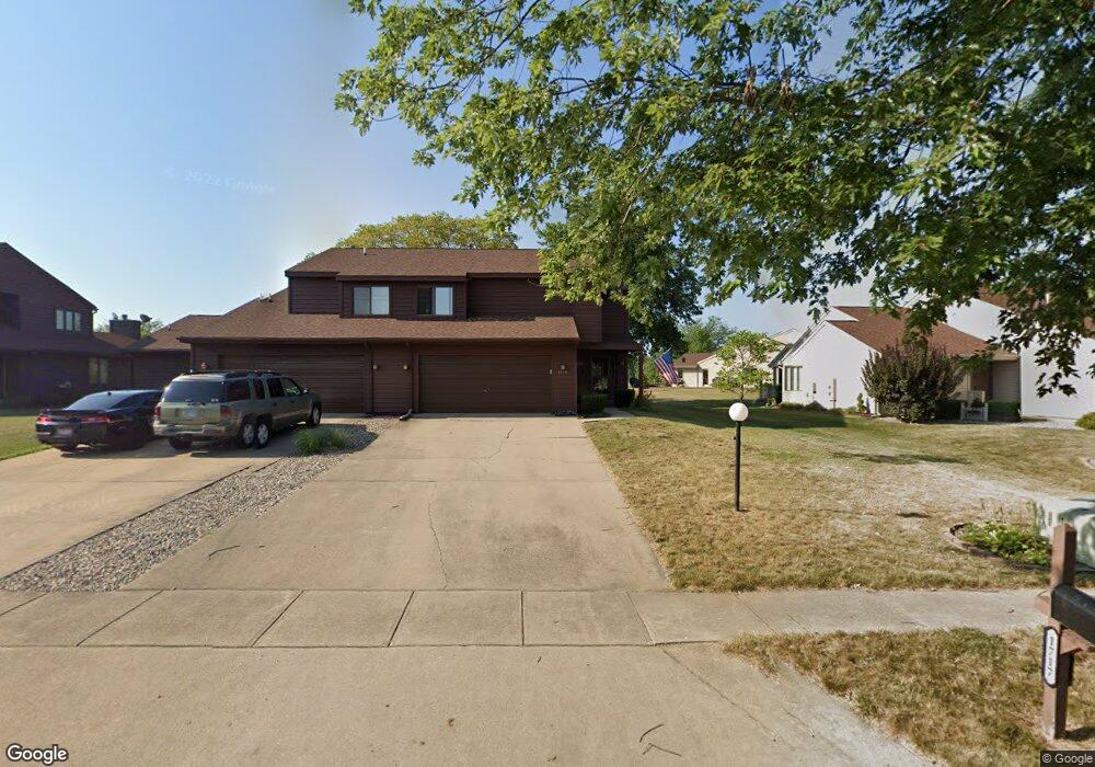
1719 Devonshire Dr Champaign, IL 61821
Bolten Field NeighborhoodEstimated Value: $201,543 - $262,000
Studio
--
Bath
--
Sq Ft
8,276
Sq Ft Lot
About This Home
This home is located at 1719 Devonshire Dr, Champaign, IL 61821 and is currently estimated at $223,886. 1719 Devonshire Dr is a home located in Champaign County with nearby schools including Central High School, Devonshire KinderCare, and St. Matthew School.
Ownership History
Date
Name
Owned For
Owner Type
Purchase Details
Closed on
May 30, 2008
Sold by
Kuhne Christopher W and Kuhne Sandra S Detamore
Bought by
Galbreath John W and Galbreath Antoinette M
Current Estimated Value
Home Financials for this Owner
Home Financials are based on the most recent Mortgage that was taken out on this home.
Original Mortgage
$170,000
Interest Rate
5.75%
Mortgage Type
Purchase Money Mortgage
Create a Home Valuation Report for This Property
The Home Valuation Report is an in-depth analysis detailing your home's value as well as a comparison with similar homes in the area
Home Values in the Area
Average Home Value in this Area
Purchase History
| Date | Buyer | Sale Price | Title Company |
|---|---|---|---|
| Galbreath John W | $165,000 | None Available |
Source: Public Records
Mortgage History
| Date | Status | Borrower | Loan Amount |
|---|---|---|---|
| Closed | Galbreath John W | $170,000 |
Source: Public Records
Tax History
| Year | Tax Paid | Tax Assessment Tax Assessment Total Assessment is a certain percentage of the fair market value that is determined by local assessors to be the total taxable value of land and additions on the property. | Land | Improvement |
|---|---|---|---|---|
| 2024 | $3,526 | $65,570 | $18,420 | $47,150 |
| 2023 | $3,526 | $59,720 | $16,780 | $42,940 |
| 2022 | $3,596 | $55,090 | $15,480 | $39,610 |
| 2021 | $3,579 | $54,010 | $15,180 | $38,830 |
| 2020 | $3,585 | $54,010 | $15,180 | $38,830 |
| 2019 | $3,543 | $52,900 | $14,870 | $38,030 |
| 2018 | $3,518 | $52,070 | $14,640 | $37,430 |
| 2017 | $3,711 | $52,070 | $14,640 | $37,430 |
| 2016 | $3,234 | $51,000 | $14,340 | $36,660 |
| 2015 | $3,318 | $50,100 | $14,090 | $36,010 |
| 2014 | $3,289 | $50,100 | $14,090 | $36,010 |
| 2013 | $3,260 | $50,100 | $14,090 | $36,010 |
Source: Public Records
Map
Nearby Homes
- 2001 S Mattis Ave Unit E
- 2113 Sunview Dr
- 2144 Harbortown Cir Unit 2144
- 1928 Blackthorn Dr Unit 1
- 1908 Barberry Cir
- 1901 Branch Rd
- 1821 Alder Ln
- 1506 Sandpiper Ln
- 2218 S Mattis Ave
- 1405 Old Farm Rd
- 1310 Broadmoor Dr
- 2307 Branch Rd
- 2313 Branch Rd
- 2404 Windward Blvd Unit 202
- 1710 Crescent Dr
- 1904 Scottsdale Dr
- 1205 Broadmoor Dr
- 1420 S Western Ave
- 2521 Windward Blvd Unit 2521
- 1902 Meadow Dr
- 1717 Devonshire Dr
- 1721 Devonshire Dr
- 1715 Devonshire Dr
- 1723 Devonshire Dr
- 2002 Sunview Dr
- 2004 Sunview Dr
- 1711 Devonshire Dr
- 2006 Sunview Dr
- 1725 Devonshire Dr Unit 1725
- 1709 Devonshire Dr
- 1707 Devonshire Dr
- 2008 Sunview Dr
- 1705 Devonshire Dr
- 2001 Sunview Dr
- 2010 Sunview Dr Unit 2010
- 2003 Sunview Dr Unit 2003
- 2005 Sunview Dr Unit 2005
- 2012 Sunview Dr Unit 2012
- 2007 Sunview Dr
- 1703 Devonshire Dr