1719 Highway 11 N Social Circle, GA 30025
Estimated Value: $364,000 - $525,000
--
Bed
2
Baths
2,809
Sq Ft
$153/Sq Ft
Est. Value
About This Home
This home is located at 1719 Highway 11 N, Social Circle, GA 30025 and is currently estimated at $429,844, approximately $153 per square foot. 1719 Highway 11 N is a home located in Newton County with nearby schools including Flint Hill Elementary School, Cousins Middle School, and Eastside High School.
Ownership History
Date
Name
Owned For
Owner Type
Purchase Details
Closed on
Mar 24, 2008
Sold by
Flis Daniel S
Bought by
Flis Daniel S and Flis Allison A
Current Estimated Value
Home Financials for this Owner
Home Financials are based on the most recent Mortgage that was taken out on this home.
Original Mortgage
$137,137
Outstanding Balance
$84,098
Interest Rate
5.62%
Mortgage Type
New Conventional
Estimated Equity
$345,746
Create a Home Valuation Report for This Property
The Home Valuation Report is an in-depth analysis detailing your home's value as well as a comparison with similar homes in the area
Home Values in the Area
Average Home Value in this Area
Purchase History
| Date | Buyer | Sale Price | Title Company |
|---|---|---|---|
| Flis Daniel S | -- | -- |
Source: Public Records
Mortgage History
| Date | Status | Borrower | Loan Amount |
|---|---|---|---|
| Open | Flis Daniel S | $137,137 |
Source: Public Records
Tax History Compared to Growth
Tax History
| Year | Tax Paid | Tax Assessment Tax Assessment Total Assessment is a certain percentage of the fair market value that is determined by local assessors to be the total taxable value of land and additions on the property. | Land | Improvement |
|---|---|---|---|---|
| 2025 | $3,517 | $147,960 | $17,080 | $130,880 |
| 2024 | $3,293 | $133,840 | $17,080 | $116,760 |
| 2023 | $3,204 | $121,960 | $17,080 | $104,880 |
| 2022 | $3,543 | $134,440 | $7,200 | $127,240 |
| 2021 | $3,570 | $121,600 | $7,200 | $114,400 |
| 2020 | $3,340 | $103,320 | $9,600 | $93,720 |
| 2019 | $2,992 | $91,600 | $9,600 | $82,000 |
| 2018 | $2,878 | $87,720 | $9,600 | $78,120 |
| 2017 | $2,558 | $78,400 | $9,600 | $68,800 |
| 2016 | $2,139 | $66,200 | $9,600 | $56,600 |
| 2015 | $2,025 | $62,880 | $9,600 | $53,280 |
| 2014 | $2,020 | $62,880 | $0 | $0 |
Source: Public Records
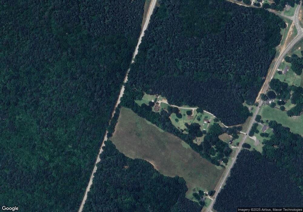
Map
Nearby Homes
- 582 S Cherokee Rd
- 494 Spring St
- 241 E Ash St
- 178 Elder Dr SE Unit 103
- 178 Elder Dr SE
- 380 Hickory St SW
- 152 Orwell Dr
- 164 Orwell Dr
- 164 Orwell Dr Unit 104
- 217 Orwell Dr
- 231 Orwell Dr
- 177 E Orwell Dr
- 177 ORWELL Drive
- Adrian Plan at Conner Springs
- Mira Plan at Conner Springs
- Tucker Front Porch Plan at Conner Springs
- Shiloh Plan at Conner Springs
- Sinclair Plan at Conner Springs
- Harding Plan at Conner Springs
- Hemingway Plan at Conner Springs
- 1717 Highway 11 N
- 1703 State Highway 11
- 1703 Highway 11 N
- 1641 Highway 11 N
- 1679 Highway 11 N
- 1633 Highway 11 N
- 1712 Highway 11 N
- 1571 State Highway 11
- 1730 Highway 11 N
- 1571 Highway 11 N
- 1762 Highway 11 N
- 0 Wildwood Dr SW Unit 10.54AC 8002732
- 175 Wildwood Dr
- 258 Marco Estate
- 253 Marco Estate
- 1212 Wildwood Dr
- 1220 Wildwood Dr
- 1014 S Cherokee Rd
- 1230 Wildwood Dr
- 253 Marco Dr