1719 Lori Ln Redding, CA 96002
Mistletoe NeighborhoodEstimated Value: $293,000 - $304,000
About This Home
This home is located at 1719 Lori Ln, Redding, CA 96002 and is currently estimated at $298,721, approximately $206 per square foot. 1719 Lori Ln is a home located in Shasta County with nearby schools including Mistletoe Elementary School, Enterprise High School, and Montessori Children's House of Shady Oaks.
Ownership History
We collect this data history from publicly available records. To have your information removed, we recommend requesting removal directly through your county’s website.
Purchase Details
Purchase Details
Purchase Details
Home Values in the Area
Average Home Value in this Area
Purchase History
We collect this data history from publicly available records. To have your information removed, we recommend requesting removal directly through your county’s website.
| Date | Buyer | Sale Price | Title Company |
|---|---|---|---|
| -- | None Available | ||
| -- | None Available | ||
| -- | Chicago Title Co | ||
| -- | Chicago Title Co |
Tax History
We collect this data history from publicly available records. To have your information removed, we recommend requesting removal directly through your county’s website.
| Year | Tax Paid | Tax Assessment Tax Assessment Total Assessment is a certain percentage of the fair market value that is determined by local assessors to be the total taxable value of land and additions on the property. | Land | Improvement |
|---|---|---|---|---|
| 2025 | $657 | $64,524 | $12,159 | $52,365 |
| 2024 | $645 | $63,260 | $11,921 | $51,339 |
| 2023 | $645 | $62,021 | $11,688 | $50,333 |
| 2022 | $625 | $60,806 | $11,459 | $49,347 |
| 2021 | $603 | $59,615 | $11,235 | $48,380 |
| 2020 | $599 | $59,004 | $11,120 | $47,884 |
| 2019 | $592 | $57,848 | $10,902 | $46,946 |
| 2018 | $584 | $56,715 | $10,689 | $46,026 |
| 2017 | $591 | $55,604 | $10,480 | $45,124 |
| 2016 | $553 | $54,515 | $10,275 | $44,240 |
| 2015 | $547 | $53,697 | $10,121 | $43,576 |
| 2014 | $541 | $52,646 | $9,923 | $42,723 |
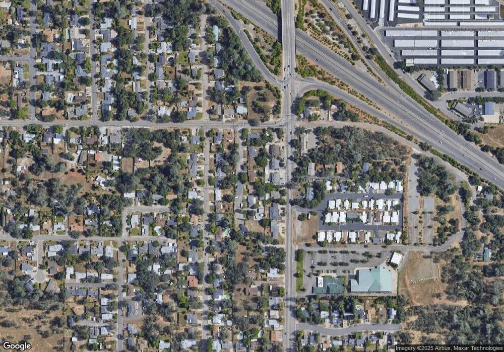
Map
- 1615 Oakdale Ct
- 2093 Victor Ave
- 1700 Derby Ln
- 1738 Lazelle Ct
- 1953 Cameo Ct
- 1946 Tarmac Rd
- 1740 Vinson Dr
- 1568 Victor Ave
- 1807 Forest Glen Ct
- 2583 Reservoir Ln
- 2163 Sageway Dr
- 1228 Cedarwood Ct
- 1987 Jolie Way
- 1400 Arroyo Manor Dr
- 2393 Shining Star Way
- 2843 Kenco Ave
- 1993 Salzburg Trail
- 2510 Rosebud Ln
- 1922 Vale Dr
- 1221 E Cypress Ave
- 1715 Lori Ln
- 2109 Lori Ln
- 1717 Lori Ln
- 2085 Deerfield Ave
- 2101 Deerfield Ave
- 2127 Lori Ln
- 2106 Victor Ave
- 2096 Victor Ave
- 2117 Deerfield Ave
- 2071 Deerfield Ave
- 2072 Victor Ave
- 2126 Victor Ave
- 1721 Lori Ln
- 2129 Deerfield Ave
- 2057 Deerfield Ave
- 2056 Victor Ave
- 2145 Deerfield Ave
- 2043 Deerfield Ave
- 1723 Lori Ln
- 2134 Victor Ave
Ask me questions while you tour the home.