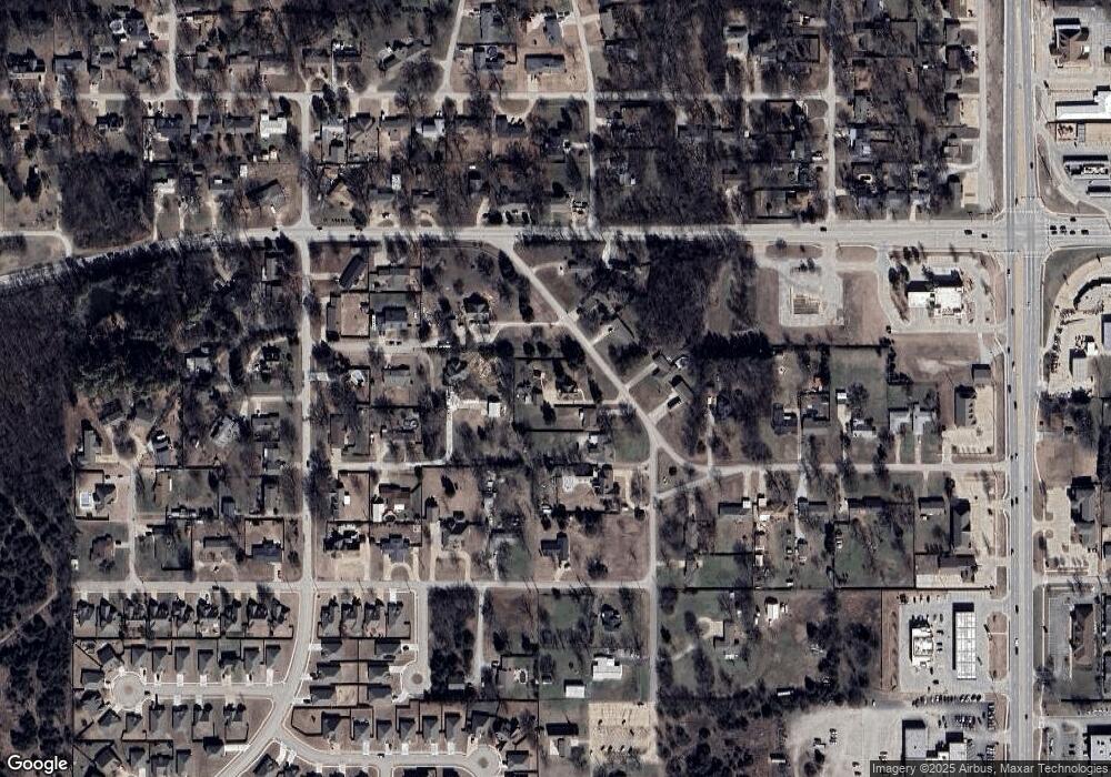
1719 Mckinley Rd Bartlesville, OK 74006
Estimated Value: $217,000 - $268,319
3
Beds
2
Baths
2,372
Sq Ft
$106/Sq Ft
Est. Value
About This Home
This home is located at 1719 Mckinley Rd, Bartlesville, OK 74006 and is currently estimated at $251,330, approximately $105 per square foot. 1719 Mckinley Rd is a home located in Washington County with nearby schools including Wayside Elementary School, Central Middle School, and Bartlesville High School.
Ownership History
Date
Name
Owned For
Owner Type
Purchase Details
Closed on
Mar 1, 2010
Sold by
Lenertz James E and Lenertz Margaret M
Bought by
Hartness Donald M and Hartness Julie A
Current Estimated Value
Home Financials for this Owner
Home Financials are based on the most recent Mortgage that was taken out on this home.
Original Mortgage
$134,027
Outstanding Balance
$89,674
Interest Rate
5.25%
Mortgage Type
FHA
Estimated Equity
$161,656
Purchase Details
Closed on
Oct 18, 1996
Sold by
Davis John William and Davis Wanda J
Create a Home Valuation Report for This Property
The Home Valuation Report is an in-depth analysis detailing your home's value as well as a comparison with similar homes in the area
Home Values in the Area
Average Home Value in this Area
Purchase History
| Date | Buyer | Sale Price | Title Company |
|---|---|---|---|
| Hartness Donald M | $136,500 | -- | |
| -- | $80,000 | -- |
Source: Public Records
Mortgage History
| Date | Status | Borrower | Loan Amount |
|---|---|---|---|
| Open | Hartness Donald M | $134,027 |
Source: Public Records
Tax History Compared to Growth
Tax History
| Year | Tax Paid | Tax Assessment Tax Assessment Total Assessment is a certain percentage of the fair market value that is determined by local assessors to be the total taxable value of land and additions on the property. | Land | Improvement |
|---|---|---|---|---|
| 2025 | $2,333 | $20,694 | $2,160 | $18,534 |
| 2024 | $2,333 | $20,429 | $2,155 | $18,274 |
| 2023 | $2,333 | $19,833 | $2,153 | $17,680 |
| 2022 | $2,187 | $19,833 | $2,153 | $17,680 |
| 2021 | $2,078 | $18,695 | $2,150 | $16,545 |
| 2020 | $2,059 | $18,151 | $2,149 | $16,002 |
| 2019 | $1,997 | $17,622 | $2,041 | $15,581 |
| 2018 | $1,925 | $17,108 | $1,936 | $15,172 |
| 2017 | $1,910 | $16,611 | $1,835 | $14,776 |
| 2016 | $1,737 | $16,126 | $1,736 | $14,390 |
| 2015 | $1,757 | $16,126 | $1,736 | $14,390 |
| 2014 | $1,779 | $16,126 | $1,736 | $14,390 |
Source: Public Records
Map
Nearby Homes
- 3217 Rushmore St
- 3201 Rushmore St
- 1528 Smysor Dr
- 3005 Talbot Cir
- 3202 Stonewall Dr
- 2007 Cypress Cir
- 3006 Blake Cir
- 2015 Cypress Cir
- 3218 Debbie Ln
- 3206 Debbie Ln
- 2501 Cherokee Hills Place
- 0 Ravenwood Ct
- 1329 Bynum Rd
- 2936 Ridge Rd
- 2613 Oakdale Dr
- 4040 Sheridan Rd
- 1329 Oakdale Dr
- 2138 Jefferson Rd
- 2909 SE Pheasant
- 3429 Woodland Rd
- 1727 Mckinley Rd
- 1714 Mckinley Rd
- 1708 Mckinley Rd
- 3215 Wilson Rd
- 1801 Mckinley Rd
- 1707 Mckinley Rd
- 1700 Mckinley Rd
- 1720 Mckinley Rd
- 3401 Nowata Rd
- 1901 Jefferson Place
- 3209 Wilson Rd
- 3320 Lincoln Rd
- 3210 Lincoln Place
- 3514 Lincoln Rd
- 3210 Wilson Rd
- 3220 Lincoln Rd
- 3404 Lincoln Rd
- 3314 Nowata Rd
- 3312 Nowata Rd
- 3209 Lincoln Place
