1719 Paul Shuping Ave Morganton, NC 28655
Estimated Value: $411,000 - $524,083
3
Beds
3
Baths
1,871
Sq Ft
$242/Sq Ft
Est. Value
About This Home
This home is located at 1719 Paul Shuping Ave, Morganton, NC 28655 and is currently estimated at $452,521, approximately $241 per square foot. 1719 Paul Shuping Ave is a home with nearby schools including Salem Elementary School, Liberty Middle School, and Robert L. Patton High School.
Ownership History
Date
Name
Owned For
Owner Type
Purchase Details
Closed on
Jun 5, 2019
Sold by
Waddell George P and Waddell Edith Berry
Bought by
Smith Mary W and Smith William Chad
Current Estimated Value
Purchase Details
Closed on
Aug 1, 2017
Sold by
Waddell Geoffrey Pierce and Waddell Samantha Hinegardner
Bought by
Waddell Geoffrey Pierce and Waddell Samatha Hinegardner
Create a Home Valuation Report for This Property
The Home Valuation Report is an in-depth analysis detailing your home's value as well as a comparison with similar homes in the area
Home Values in the Area
Average Home Value in this Area
Purchase History
| Date | Buyer | Sale Price | Title Company |
|---|---|---|---|
| Smith Mary W | -- | None Available | |
| Waddell Geoffrey Pierce | -- | Attorney | |
| Waddell Geoffrey Pierce | -- | Attorney |
Source: Public Records
Tax History Compared to Growth
Tax History
| Year | Tax Paid | Tax Assessment Tax Assessment Total Assessment is a certain percentage of the fair market value that is determined by local assessors to be the total taxable value of land and additions on the property. | Land | Improvement |
|---|---|---|---|---|
| 2025 | $2,851 | $421,226 | $27,159 | $394,067 |
| 2024 | $2,748 | $421,226 | $27,159 | $394,067 |
| 2023 | $2,836 | $421,226 | $27,159 | $394,067 |
| 2022 | $2,409 | $282,429 | $19,549 | $262,880 |
| 2021 | $2,313 | $282,429 | $19,549 | $262,880 |
| 2020 | $1,695 | $202,683 | $19,549 | $183,134 |
| 2019 | $604 | $69,512 | $19,549 | $49,963 |
| 2018 | $616 | $71,053 | $19,549 | $51,504 |
| 2017 | $594 | $68,558 | $25,759 | $42,799 |
| 2016 | $576 | $68,558 | $25,759 | $42,799 |
| 2015 | $238 | $68,558 | $25,759 | $42,799 |
| 2014 | $236 | $68,558 | $25,759 | $42,799 |
| 2013 | $554 | $66,216 | $25,759 | $40,457 |
Source: Public Records
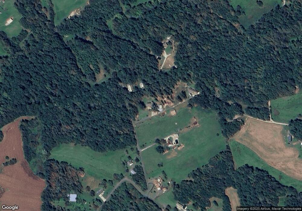
Map
Nearby Homes
- 1940 Paul Shuping Ave
- 0 v/l Saratoga Run
- 2490 Saratoga Run
- 2522 Saratoga Run
- 2402 Saratoga Run
- V/L Steeplechase Ct
- 2433 Saratoga Run
- 2301 Saratoga Run
- 2285 Saratoga Run
- 4777 Jenkins Rd
- 4390 Belmont Dr
- 5562 Jenkins Rd
- 1321 Birch Dr
- 0 Burkemont Rd Unit CAR4247417
- 4305 Burkemont Rd
- 1173 Coffey Way
- 4247 Burkemont Rd
- 4620 Montclaire Ave
- 202 Beacon Ave
- 1805 Burkemont Ave
- 1674 Paul Shuping Ave
- 1739 Paul Shuping Ave
- 1761 Paul Shuping Ave
- 1695 Paul Shuping Ave
- 1762 Paul Shuping Ave
- 1639 Paul Shuping Ave
- 1789 Paul Shuping Ave
- 4460 Dale Farm Rd
- 1860 Paul Shuping Ave
- 1801 Paul Shuping Ave
- 1803 Paul Shuping Ave
- 1922 Paul Shuping Ave Unit 1940
- 1944 Paul Shuping Ave
- 1889 Jc Propst St
- 1915 Paul Shuping Ave
- 1961 Cullen Dr
- 1875 Jc Propst St
- 1930 Cullen Dr
- 4590 Dale Farm Rd
- 1806 S Hills Dr