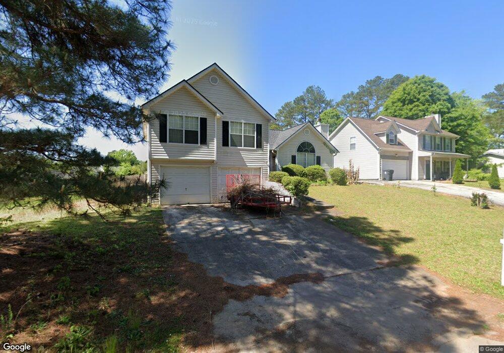
1719 Pheasant Dr Hampton, GA 30228
Estimated Value: $222,909 - $254,000
3
Beds
3
Baths
1,654
Sq Ft
$143/Sq Ft
Est. Value
About This Home
This home is located at 1719 Pheasant Dr, Hampton, GA 30228 and is currently estimated at $235,977, approximately $142 per square foot. 1719 Pheasant Dr is a home located in Clayton County with nearby schools including Kemp Primary School, Kemp Elementary School, and Lovejoy Middle School.
Ownership History
Date
Name
Owned For
Owner Type
Purchase Details
Closed on
Dec 4, 2014
Sold by
The Ashian Grp Llc
Bought by
Warriors Pheasant Drive Land T
Current Estimated Value
Purchase Details
Closed on
Jun 10, 2011
Sold by
Samels Laura M
Bought by
Ashian Group Llc
Purchase Details
Closed on
May 3, 2010
Sold by
Hud-Housing Of Urban Dev
Bought by
Samels Laura M
Purchase Details
Closed on
Oct 6, 2009
Sold by
National Cty Bk
Bought by
Hud-Housing Of Urban Dev
Purchase Details
Closed on
Aug 13, 2004
Sold by
National City Mtg Co
Bought by
Rice Richard
Home Financials for this Owner
Home Financials are based on the most recent Mortgage that was taken out on this home.
Original Mortgage
$123,382
Interest Rate
5.97%
Mortgage Type
VA
Create a Home Valuation Report for This Property
The Home Valuation Report is an in-depth analysis detailing your home's value as well as a comparison with similar homes in the area
Home Values in the Area
Average Home Value in this Area
Purchase History
| Date | Buyer | Sale Price | Title Company |
|---|---|---|---|
| Warriors Pheasant Drive Land T | -- | -- | |
| Ashian Group Llc | -- | -- | |
| Samels Laura M | -- | -- | |
| Hud-Housing Of Urban Dev | -- | -- | |
| National Cty Bk | $123,792 | -- | |
| Rice Richard | $49,000 | -- |
Source: Public Records
Mortgage History
| Date | Status | Borrower | Loan Amount |
|---|---|---|---|
| Previous Owner | Rice Richard | $123,382 |
Source: Public Records
Tax History Compared to Growth
Tax History
| Year | Tax Paid | Tax Assessment Tax Assessment Total Assessment is a certain percentage of the fair market value that is determined by local assessors to be the total taxable value of land and additions on the property. | Land | Improvement |
|---|---|---|---|---|
| 2025 | $3,799 | $98,280 | $7,200 | $91,080 |
| 2024 | $3,952 | $100,400 | $7,200 | $93,200 |
| 2023 | $1,963 | $54,360 | $7,200 | $47,160 |
| 2022 | $2,168 | $54,360 | $7,200 | $47,160 |
| 2021 | $1,599 | $56,360 | $7,200 | $49,160 |
| 2020 | $1,619 | $39,600 | $6,800 | $32,800 |
| 2019 | $1,643 | $39,600 | $6,800 | $32,800 |
| 2018 | $1,561 | $44,228 | $6,800 | $37,428 |
| 2017 | $1,256 | $30,000 | $6,800 | $23,200 |
| 2016 | $1,256 | $30,000 | $6,800 | $23,200 |
| 2015 | $1,184 | $0 | $0 | $0 |
| 2014 | $974 | $27,499 | $6,800 | $20,699 |
Source: Public Records
Map
Nearby Homes
- 1685 Kinglet Rd
- 1683 Spoonbill Rd
- 1739 Cardinal Rd
- 1741 Portwest Way
- 10959 Thrasher Rd
- 11005 Regents Ct
- 10996 Shannon Cir
- 10664 Sandpiper Rd
- 11057 Aliyah Dr
- 11045 Knotty Pine Place
- 1646 Flicker Rd
- 1590 Flicker Rd
- 1579 Leonard St
- 1558 Leonard St
- 10448 Tara Pointe Dr
- 11059 Sedalia Way
- 1432 Shadow Creek Ave
- 11187 Shannon Cir
- 11179 Knotty Pine Place Unit I
- 11224 Aliyah Dr
- 1714 Pheasant Dr
- 1712 Pheasant Dr
- 1707 Pheasant Dr
- 1713 Pheasant Dr
- 1697 Spoonbill Rd
- 1710 Pheasant Dr
- 1695 Spoonbill Rd
- 1708 Pheasant Dr
- 1703 Pheasant Dr
- 2 Tara Blvd
- 1 Tara Blvd
- 1706 Pheasant Dr
- 1696 Spoonbill Rd
- 1693 Spoonbill Rd
- 1828 Bridgeport Ln
- 1828 Bridgeport Ln Unit 2
- 1694 Spoonbill Rd Unit 15
- 1820 Bridgeport Ln Unit 2
- 1694 Spoonbill Rd Unit 15
- 1694 Spoonbill Rd