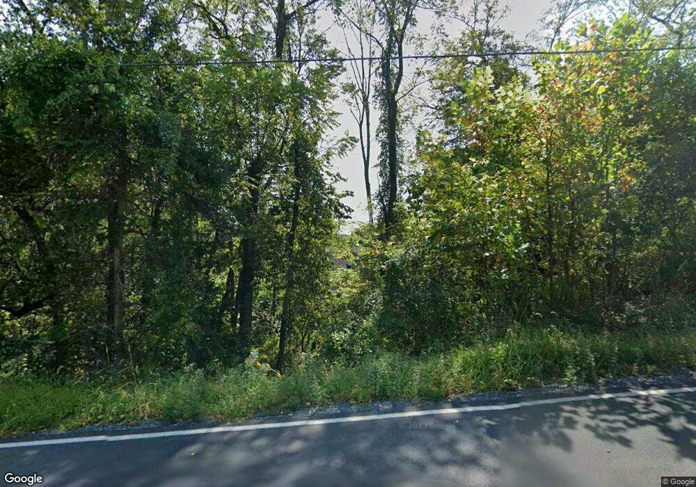
1719 River Rd Mount Bethel, PA 18343
Upper Mount Bethel Township NeighborhoodEstimated Value: $356,756 - $425,000
4
Beds
2
Baths
1,771
Sq Ft
$225/Sq Ft
Est. Value
About This Home
This home is located at 1719 River Rd, Mount Bethel, PA 18343 and is currently estimated at $397,689, approximately $224 per square foot. 1719 River Rd is a home located in Northampton County with nearby schools including Bangor Area High School.
Ownership History
Date
Name
Owned For
Owner Type
Purchase Details
Closed on
Jan 9, 2008
Sold by
Jankowski Stacey
Bought by
Mancuso James and Mancuso Adrienne
Current Estimated Value
Home Financials for this Owner
Home Financials are based on the most recent Mortgage that was taken out on this home.
Original Mortgage
$293,550
Outstanding Balance
$185,391
Interest Rate
6.17%
Mortgage Type
Purchase Money Mortgage
Estimated Equity
$212,298
Create a Home Valuation Report for This Property
The Home Valuation Report is an in-depth analysis detailing your home's value as well as a comparison with similar homes in the area
Home Values in the Area
Average Home Value in this Area
Purchase History
| Date | Buyer | Sale Price | Title Company |
|---|---|---|---|
| Mancuso James | $309,000 | None Available |
Source: Public Records
Mortgage History
| Date | Status | Borrower | Loan Amount |
|---|---|---|---|
| Open | Mancuso James | $293,550 |
Source: Public Records
Tax History Compared to Growth
Tax History
| Year | Tax Paid | Tax Assessment Tax Assessment Total Assessment is a certain percentage of the fair market value that is determined by local assessors to be the total taxable value of land and additions on the property. | Land | Improvement |
|---|---|---|---|---|
| 2025 | $771 | $71,400 | $14,400 | $57,000 |
| 2024 | $5,437 | $71,400 | $14,400 | $57,000 |
| 2023 | $5,402 | $71,400 | $14,400 | $57,000 |
| 2022 | $5,259 | $71,400 | $14,400 | $57,000 |
| 2021 | $5,331 | $71,400 | $14,400 | $57,000 |
| 2020 | $5,331 | $71,400 | $14,400 | $57,000 |
| 2019 | $5,256 | $71,400 | $14,400 | $57,000 |
| 2018 | $5,216 | $71,400 | $14,400 | $57,000 |
| 2017 | $5,106 | $71,400 | $14,400 | $57,000 |
| 2016 | -- | $71,400 | $14,400 | $57,000 |
| 2015 | -- | $71,400 | $14,400 | $57,000 |
| 2014 | -- | $71,400 | $14,400 | $57,000 |
Source: Public Records
Map
Nearby Homes
- 174 Frutchey Ct
- 1254 River Rd
- 22 N Riverview Ave
- 1118 Belvidere Corner Rd
- 677 Water St
- 37 Lenape Trail
- 82 Lenape Trail
- 0 Chippewa Cir
- 429 Water St
- 190 Market St
- 323 Water St
- 15 Fisk St
- 119 Wall St
- 318 Front St
- 54 Front St
- 520 Third St
- 0 Oxford St
- 3325 River Rd
- 404 3rd St
- 7727 Martins Creek Belvidere Hwy
- 582 Sandy Shore Dr
- 1697 River Rd
- 558 Sandy Shore Dr
- 594 Sandy Shore Dr
- 0 Sandy Shore Dr Unit 7-3735
- 0 Sandy Shore Dr Unit 13-1149
- 0 Sandy Shore Dr
- 1685 River Rd
- 1728 River Rd
- 1776 River Rd
- 546 Sandy Shore Dr
- 1662 River Rd
- 1645 River Rd
- 523 Sandy Shore Dr
- 516 Sandy Shore Dr
- 604 Sandy Shore Dr
- 1800 River Rd
- 1640 River Rd
- 511 Sandy Shore Dr
- 498 Sandy Shore Dr
