1719 S Darr Rd Scottville, MI 49454
Estimated Value: $301,000 - $438,000
--
Bed
--
Bath
--
Sq Ft
20.16
Acres
About This Home
This home is located at 1719 S Darr Rd, Scottville, MI 49454 and is currently estimated at $359,503. 1719 S Darr Rd is a home located in Mason County with nearby schools including Scottville Elementary School, Mason County Central Upper Elementary School, and Mason County Central Middle School.
Ownership History
Date
Name
Owned For
Owner Type
Purchase Details
Closed on
Jun 28, 2022
Sold by
Jay Buter Brian and Lynn Kathy
Bought by
Butler Revocable Trust
Current Estimated Value
Purchase Details
Closed on
Feb 17, 2017
Sold by
Buter Glen
Bought by
Buter Brian Jay and Buter Kathy Lynn
Home Financials for this Owner
Home Financials are based on the most recent Mortgage that was taken out on this home.
Original Mortgage
$70,000
Interest Rate
4.09%
Purchase Details
Closed on
Feb 22, 2008
Sold by
Buter Harvey J and Buter Carolyn M
Bought by
Lvg Trst Agmt Of Harvey J Buter And Ca
Create a Home Valuation Report for This Property
The Home Valuation Report is an in-depth analysis detailing your home's value as well as a comparison with similar homes in the area
Home Values in the Area
Average Home Value in this Area
Purchase History
| Date | Buyer | Sale Price | Title Company |
|---|---|---|---|
| Butler Revocable Trust | -- | Thompson Thompson & Glanville | |
| Buter Brian Jay | $126,000 | Lighthouse Title | |
| Lvg Trst Agmt Of Harvey J Buter And Ca | -- | -- |
Source: Public Records
Mortgage History
| Date | Status | Borrower | Loan Amount |
|---|---|---|---|
| Previous Owner | Buter Brian Jay | $70,000 |
Source: Public Records
Tax History Compared to Growth
Tax History
| Year | Tax Paid | Tax Assessment Tax Assessment Total Assessment is a certain percentage of the fair market value that is determined by local assessors to be the total taxable value of land and additions on the property. | Land | Improvement |
|---|---|---|---|---|
| 2025 | $2,546 | $152,900 | $152,900 | $0 |
| 2024 | -- | $156,500 | $156,500 | $0 |
| 2023 | -- | $121,400 | $121,400 | $0 |
| 2022 | -- | $108,000 | $0 | $0 |
| 2021 | -- | $106,500 | $0 | $0 |
| 2020 | -- | -- | $0 | $0 |
| 2019 | -- | -- | $0 | $0 |
| 2018 | -- | -- | $0 | $0 |
| 2017 | -- | -- | $0 | $0 |
| 2016 | -- | -- | $0 | $0 |
| 2015 | -- | -- | $0 | $0 |
| 2013 | -- | -- | $0 | $0 |
Source: Public Records
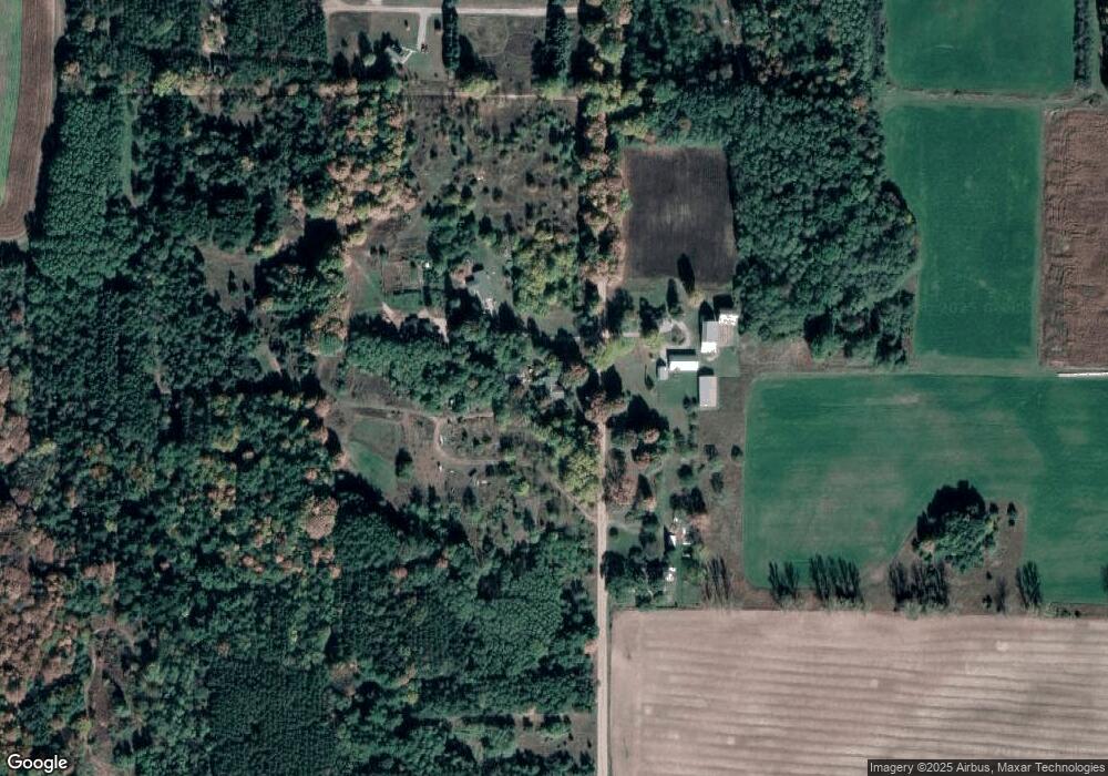
Map
Nearby Homes
- 1316 E Chauvez Rd
- 409 Scott St
- VL E 2nd St
- 301 Crowley St
- LOT A Hogenson
- 203 Crowley St
- 0 S Columbia Ave
- 218 Taylors Ct Unit 6
- 220 Taylors Ct Unit 7
- 222 Taylors Ct Unit 8
- 226 Taylors Ct Unit 10
- 216 Taylors Ct Unit 5
- 221 Taylors Ct Unit 19
- 224 Taylors Ct Unit 9
- 225 Taylors Ct Unit 17
- 229 Taylors Ct Unit 15
- 227 Taylors Ct Unit 16
- 223 Taylors Ct Unit 18
- 2577 S Custer Rd
- 1892 Highway 10 NW
- 1675 S Darr Rd
- 1688 S Darr Rd
- 1784 S Darr Rd
- 1835 S Darr Rd
- 737 E Running Buck Rd
- 0 Running Buck Rd Unit M17011651
- 0 Running Buck Rd Unit 67017011651
- 6 Running Buck Rd
- 5 Running Buck Rd
- 0 Running Buck Rd Unit Parcel 2 17011651
- 1893 S Darr Rd
- 724 E Wilson Rd
- 689 E Running Buck Rd
- 672 E Running Buck Rd
- 672 E Running Buck Rd
- 1489 S Darr Rd
- 1 S Darr Rd
- 1947 S Darr Rd
- 1478 S Darr Rd
- 1985 S Darr Rd