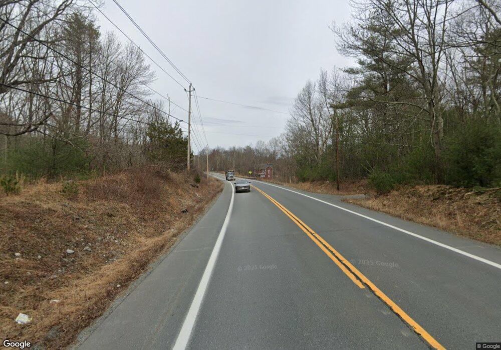
1719 State Route 209 Westbrookville, NY 12785
Estimated Value: $352,809 - $414,000
4
Beds
2
Baths
2,067
Sq Ft
$180/Sq Ft
Est. Value
About This Home
This home is located at 1719 State Route 209, Westbrookville, NY 12785 and is currently estimated at $372,702, approximately $180 per square foot. 1719 State Route 209 is a home with nearby schools including Port Jervis High School and Fei Tian Academy of the Arts.
Ownership History
Date
Name
Owned For
Owner Type
Purchase Details
Closed on
Apr 28, 2021
Sold by
Burke Edward
Bought by
Fanshaw Donna and Fitzgerald Katherine
Current Estimated Value
Home Financials for this Owner
Home Financials are based on the most recent Mortgage that was taken out on this home.
Original Mortgage
$208,000
Outstanding Balance
$188,500
Interest Rate
3.1%
Mortgage Type
Purchase Money Mortgage
Estimated Equity
$184,202
Purchase Details
Closed on
Aug 6, 2008
Sold by
Wachovia Bank
Bought by
Burke Edward
Purchase Details
Closed on
Aug 24, 2007
Sold by
Grillo Eugene
Bought by
Wachovia Bank National
Purchase Details
Closed on
Mar 23, 2004
Sold by
Argentieri Joseph and Argentieri Tracy L
Bought by
Argentieri Joseph C
Purchase Details
Closed on
Mar 29, 2001
Sold by
Argentieri Medora Carole and Kenny Hutchison Theresa
Bought by
Argentieri Joseph C and Argentieri Tracy L
Create a Home Valuation Report for This Property
The Home Valuation Report is an in-depth analysis detailing your home's value as well as a comparison with similar homes in the area
Home Values in the Area
Average Home Value in this Area
Purchase History
| Date | Buyer | Sale Price | Title Company |
|---|---|---|---|
| Fanshaw Donna | $260,000 | None Available | |
| Burke Edward | $126,000 | Robert Lander | |
| Wachovia Bank National | $1,000 | Lisa Wallace | |
| Argentieri Joseph C | -- | Thomas J Darcy | |
| Argentieri Joseph C | -- | -- |
Source: Public Records
Mortgage History
| Date | Status | Borrower | Loan Amount |
|---|---|---|---|
| Open | Fanshaw Donna | $208,000 |
Source: Public Records
Tax History Compared to Growth
Tax History
| Year | Tax Paid | Tax Assessment Tax Assessment Total Assessment is a certain percentage of the fair market value that is determined by local assessors to be the total taxable value of land and additions on the property. | Land | Improvement |
|---|---|---|---|---|
| 2024 | $5,987 | $90,300 | $20,000 | $70,300 |
| 2023 | $5,987 | $90,300 | $20,000 | $70,300 |
| 2022 | $5,965 | $90,300 | $20,000 | $70,300 |
| 2021 | $5,865 | $90,300 | $20,000 | $70,300 |
| 2020 | $6,050 | $90,300 | $20,000 | $70,300 |
| 2019 | $6,204 | $90,300 | $20,000 | $70,300 |
| 2018 | $6,204 | $90,300 | $20,000 | $70,300 |
| 2017 | $6,159 | $90,300 | $20,000 | $70,300 |
| 2016 | $6,153 | $90,300 | $20,000 | $70,300 |
| 2015 | -- | $90,300 | $20,000 | $70,300 |
| 2014 | -- | $90,300 | $20,000 | $70,300 |
Source: Public Records
Map
Nearby Homes
- 1753 State Route 209
- 1610 State Route 209
- 0 Pine Tree Ln
- 143 Brandt Rd
- 145 Brandt Rd
- 141 Brandt Rd
- 6 Field Rd
- 1051 South Rd
- 9 Emboden Ave
- 411 Old Mountain Rd
- 31 State St
- 31 Highland Ave
- 42 Highland Ave
- 19 Lewis St
- LOT 3 Shoddy Hollow Rd
- LOT 2 Shoddy Hollow Rd
- LOT 1 Shoddy Hollow Rd
- 52 Shoddy Hollow Rd
- 83 High Hope Dr
- 17 Seybolt Ave
