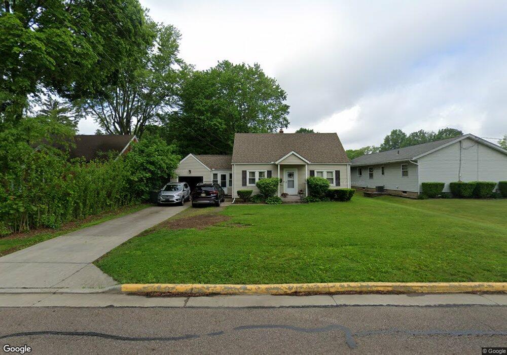
172 9th St NE Barberton, OH 44203
East Barberton NeighborhoodEstimated Value: $174,000 - $183,000
3
Beds
2
Baths
768
Sq Ft
$230/Sq Ft
Est. Value
About This Home
This home is located at 172 9th St NE, Barberton, OH 44203 and is currently estimated at $176,360, approximately $229 per square foot. 172 9th St NE is a home located in Summit County with nearby schools including Barberton Intermediate School 3-5, Barberton Middle School, and Barberton High School.
Ownership History
Date
Name
Owned For
Owner Type
Purchase Details
Closed on
Jun 16, 1995
Sold by
Simon Rose E
Bought by
Murphy Danny L and Murphy Sherry L
Current Estimated Value
Home Financials for this Owner
Home Financials are based on the most recent Mortgage that was taken out on this home.
Original Mortgage
$63,600
Interest Rate
8.27%
Mortgage Type
New Conventional
Create a Home Valuation Report for This Property
The Home Valuation Report is an in-depth analysis detailing your home's value as well as a comparison with similar homes in the area
Home Values in the Area
Average Home Value in this Area
Purchase History
| Date | Buyer | Sale Price | Title Company |
|---|---|---|---|
| Murphy Danny L | $66,000 | -- |
Source: Public Records
Mortgage History
| Date | Status | Borrower | Loan Amount |
|---|---|---|---|
| Closed | Murphy Danny L | $63,600 |
Source: Public Records
Tax History Compared to Growth
Tax History
| Year | Tax Paid | Tax Assessment Tax Assessment Total Assessment is a certain percentage of the fair market value that is determined by local assessors to be the total taxable value of land and additions on the property. | Land | Improvement |
|---|---|---|---|---|
| 2025 | $2,228 | $44,580 | $11,785 | $32,795 |
| 2024 | $2,228 | $44,580 | $11,785 | $32,795 |
| 2023 | $2,228 | $44,580 | $11,785 | $32,795 |
| 2022 | $1,862 | $32,305 | $8,540 | $23,765 |
| 2021 | $1,860 | $32,305 | $8,540 | $23,765 |
| 2020 | $1,820 | $32,310 | $8,540 | $23,770 |
| 2019 | $1,658 | $26,650 | $8,540 | $18,110 |
| 2018 | $1,632 | $26,650 | $8,540 | $18,110 |
| 2017 | $1,417 | $26,650 | $8,540 | $18,110 |
| 2016 | $1,420 | $22,840 | $8,540 | $14,300 |
| 2015 | $1,417 | $22,840 | $8,540 | $14,300 |
| 2014 | $1,410 | $22,840 | $8,540 | $14,300 |
| 2013 | $1,670 | $28,060 | $8,540 | $19,520 |
Source: Public Records
Map
Nearby Homes
- 721 E Ford Ave
- 653 Washington Ave
- 611 Franklin Ave
- V/L 1.16 Acres E Tuscarawas Extension
- 492 E Hopocan Ave
- 274 E State St
- 749 Fairview Ave
- 477 Robinson Ave
- 357 E Paige Ave
- 409 Franklin Ave
- 349 E Hopocan Ave
- 251 Slate Ridge Dr
- 951 S Azalea Blvd
- 332 Lincoln Ave
- 536 Austin Dr
- 308 E Baird Ave
- 986 S Azalea Blvd
- 311 Holly Place
- 2953 Clearfield Ave
- 202 W Heatherwood Dr
- 166 9th St NE
- 706 E Paige Ave
- 696 E Paige Ave
- 158 9th St NE
- 697 E Cassell Ave
- 175 9th St NE
- 690 E Paige Ave
- 190 9th St NE
- 167 9th St NE
- 691 E Cassell Ave
- 682 E Paige Ave
- 695 E Paige Ave
- 196 9th St NE
- 146 9th St NE
- 159 9th St NE
- 685 E Cassell Ave
- 191 9th St NE
- 687 E Paige Ave
- 202 9th St NE
- 696 E Cassell Ave