172 Allman Rd Winlock, WA 98596
Estimated Value: $305,000 - $419,000
Studio
1
Bath
1,440
Sq Ft
$246/Sq Ft
Est. Value
About This Home
This home is located at 172 Allman Rd, Winlock, WA 98596 and is currently estimated at $354,318, approximately $246 per square foot. 172 Allman Rd is a home located in Lewis County with nearby schools including Winlock Miller Elementary School, Winlock Middle School, and Winolequa Learning Academy.
Ownership History
Date
Name
Owned For
Owner Type
Purchase Details
Closed on
Jul 9, 2009
Sold by
Mccoy Jon G and Mccoy Ronda A
Bought by
Pescatone Joseph M and Pescatone Marguerite
Current Estimated Value
Create a Home Valuation Report for This Property
The Home Valuation Report is an in-depth analysis detailing your home's value as well as a comparison with similar homes in the area
Purchase History
| Date | Buyer | Sale Price | Title Company |
|---|---|---|---|
| Pescatone Joseph M | $33,522 | First American Title Ins Co |
Source: Public Records
Tax History
| Year | Tax Paid | Tax Assessment Tax Assessment Total Assessment is a certain percentage of the fair market value that is determined by local assessors to be the total taxable value of land and additions on the property. | Land | Improvement |
|---|---|---|---|---|
| 2025 | $2,212 | $295,200 | $88,100 | $207,100 |
| 2024 | $2,175 | $298,900 | $78,500 | $220,400 |
| 2023 | $2,084 | $275,900 | $64,100 | $211,800 |
| 2022 | $1,989 | $211,200 | $50,400 | $160,800 |
| 2021 | $933 | $211,200 | $50,400 | $160,800 |
| 2020 | $397 | $182,100 | $44,000 | $138,100 |
| 2019 | $413 | $174,800 | $37,100 | $137,700 |
| 2018 | $386 | $162,200 | $32,500 | $129,700 |
| 2017 | $1,530 | $145,200 | $32,500 | $112,700 |
| 2016 | $1,530 | $137,400 | $29,000 | $108,400 |
| 2015 | $1,186 | $127,500 | $29,000 | $98,500 |
| 2013 | $1,186 | $107,600 | $31,400 | $76,200 |
Source: Public Records
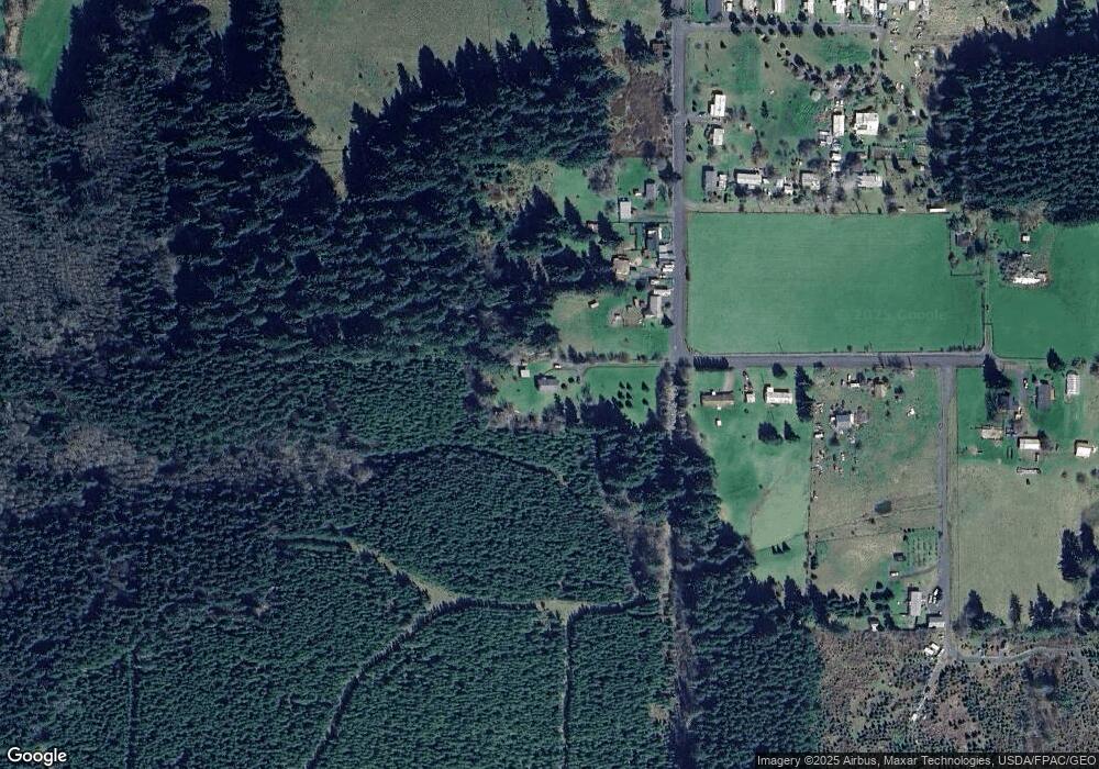
Map
Nearby Homes
- 196 Allman Rd
- 782 S Military Rd
- 0 xx Maxine Dr
- 1493 Ferrier Rd
- 0 NA Nikula Rd
- 101 Walter Rd
- 248 Coma Rd
- 0 Winter Rd
- 1377 Hining Rd
- 570 Drews Prairie Rd
- 1009 SE 1st St
- 0 SE Rice-Multiple Mdr Ldr Parcels
- 950 Rw Fletcher St
- 960 Rw Fletcher St
- 113 Shortline Dr
- 810 SE 1st St
- 516 D St
- 219 Jones Rd
- 0 LOT B-D SE Korpi Way
- 324 6th St
- 166 Allman Rd
- 156 Allman Rd
- 190 Allman Rd
- 199 Allman Rd
- 202 Allman Rd
- 133 Allman Rd
- 139 Allman Rd
- 125 Allman Rd
- 200 Allman Rd
- 307 McGlaughlin Rd
- 0 Allman Rd
- 1700 Ferrier Rd
- 0 McGlaughlin Rd Unit NWM1759406
- 1694 Ferrier Rd
- 198 Duchess Ln
- 175 McGlaughlin Rd
- 1742 Ferrier Rd
- 0 Duchess Rd Unit 1028211
- 191 Duchess Ln
- 153 Duchess Ln
Your Personal Tour Guide
Ask me questions while you tour the home.