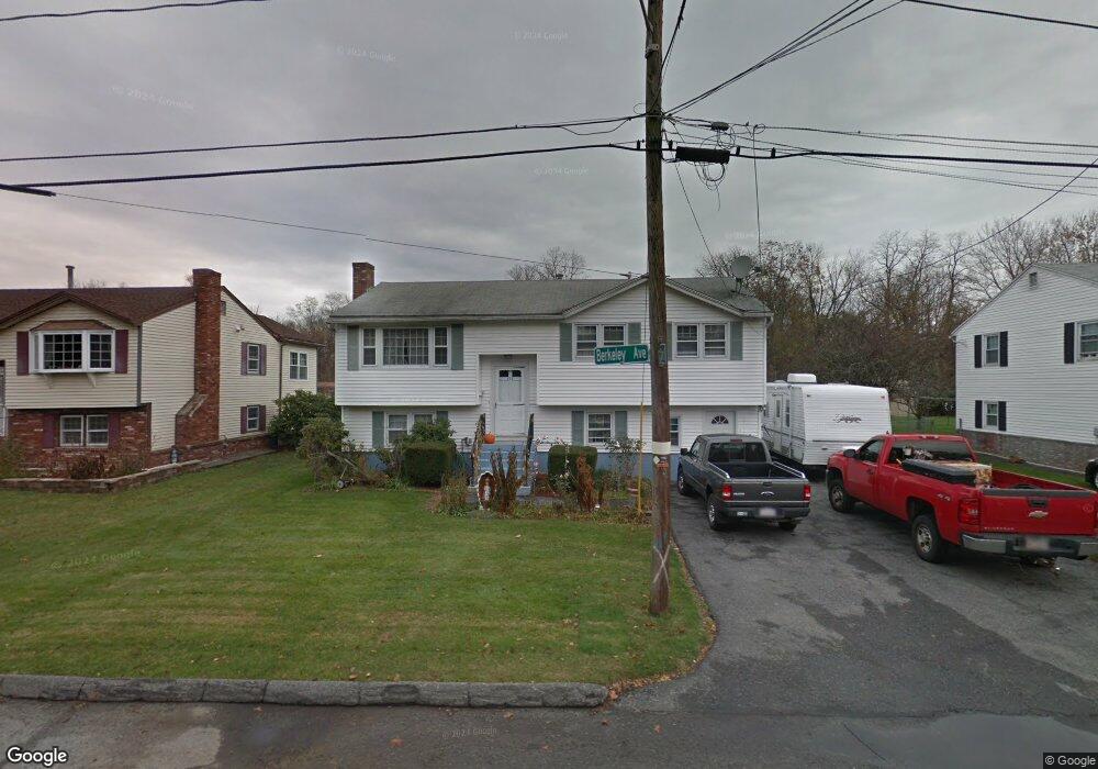
172 Berkeley Ave Lowell, MA 01852
South Lowell NeighborhoodEstimated Value: $559,000 - $644,000
3
Beds
2
Baths
1,555
Sq Ft
$387/Sq Ft
Est. Value
About This Home
This home is located at 172 Berkeley Ave, Lowell, MA 01852 and is currently estimated at $602,140, approximately $387 per square foot. 172 Berkeley Ave is a home located in Middlesex County with nearby schools including Moody Elementary School, Abraham Lincoln Elementary School, and Greenhalge Elementary School.
Ownership History
Date
Name
Owned For
Owner Type
Purchase Details
Closed on
Dec 23, 1992
Sold by
Avila Manuel J and Avila Maria
Bought by
Dasilva Manuel M and Dasilva Elsa
Current Estimated Value
Home Financials for this Owner
Home Financials are based on the most recent Mortgage that was taken out on this home.
Original Mortgage
$105,000
Interest Rate
8.31%
Mortgage Type
Purchase Money Mortgage
Create a Home Valuation Report for This Property
The Home Valuation Report is an in-depth analysis detailing your home's value as well as a comparison with similar homes in the area
Home Values in the Area
Average Home Value in this Area
Purchase History
| Date | Buyer | Sale Price | Title Company |
|---|---|---|---|
| Dasilva Manuel M | $135,000 | -- | |
| Dasilva Manuel M | $135,000 | -- |
Source: Public Records
Mortgage History
| Date | Status | Borrower | Loan Amount |
|---|---|---|---|
| Open | Dasilva Manuel M | $80,000 | |
| Closed | Dasilva Manuel M | $105,000 |
Source: Public Records
Tax History Compared to Growth
Tax History
| Year | Tax Paid | Tax Assessment Tax Assessment Total Assessment is a certain percentage of the fair market value that is determined by local assessors to be the total taxable value of land and additions on the property. | Land | Improvement |
|---|---|---|---|---|
| 2025 | $5,497 | $478,800 | $211,300 | $267,500 |
| 2024 | $5,395 | $453,000 | $190,200 | $262,800 |
| 2023 | $5,179 | $417,000 | $165,300 | $251,700 |
| 2022 | $4,664 | $367,500 | $145,700 | $221,800 |
| 2021 | $4,318 | $320,800 | $126,700 | $194,100 |
| 2020 | $4,162 | $311,500 | $126,700 | $184,800 |
| 2019 | $4,263 | $303,600 | $121,100 | $182,500 |
| 2018 | $4,000 | $278,000 | $115,400 | $162,600 |
| 2017 | $3,866 | $259,100 | $102,500 | $156,600 |
| 2016 | $3,654 | $241,000 | $94,500 | $146,500 |
| 2015 | $3,622 | $234,000 | $94,500 | $139,500 |
| 2013 | $3,419 | $227,800 | $112,400 | $115,400 |
Source: Public Records
Map
Nearby Homes
- 90 Roper St Unit G
- 82 Boylston Ln Unit 16
- 1204 Lawrence St
- 51 Melim Dr
- 67 Wedgemere Dr
- 90 Chamberlain St
- 1 Huntoon Ave
- 22 Juniper St
- 64 Bolton St
- 56 Arnold Ave
- 288 Hovey St
- 810 Lawrence St Unit C
- 5 Lenox St Unit 2
- 80 Sesame St
- 200 Rogers St Unit 6
- 111 Draper St
- 44 Hanks St
- 250 Nesmith St Unit 5
- 250 Nesmith St Unit 11
- 251 Clark Rd
- 166 Berkeley Ave
- 180 Berkeley Ave
- 158 Berkeley Ave
- 57 Calvin St
- 186 Berkeley Ave
- 161 Berkeley Ave
- 58 Brunswick St
- 152 Berkeley Ave
- 49 Calvin St
- 200 Berkeley Ave
- 48 Brunswick St
- 144 Berkeley Ave
- 199 Berkeley Ave
- 145 Berkeley Ave
- 168 Rea St
- 40 Calvin St
- 29 Calvin St
- 40 Brunswick St
- 206 Berkeley Ave
- 138 Berkeley Ave