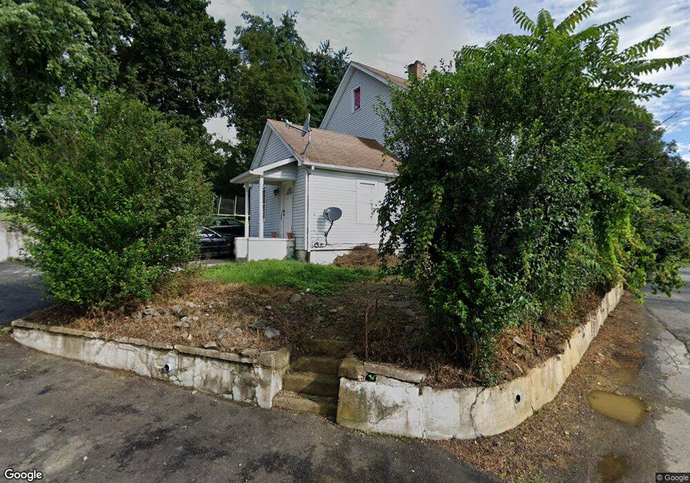
172 Brookside Farms Rd Newburgh, NY 12550
Estimated Value: $357,000 - $448,000
3
Beds
2
Baths
1,812
Sq Ft
$220/Sq Ft
Est. Value
About This Home
This home is located at 172 Brookside Farms Rd, Newburgh, NY 12550 and is currently estimated at $398,908, approximately $220 per square foot. 172 Brookside Farms Rd is a home located in Orange County with nearby schools including Newburgh Free Academy Main Campus, Bishop Dunn Memorial, and San Miguel Academy Of Newburgh.
Ownership History
Date
Name
Owned For
Owner Type
Purchase Details
Closed on
Oct 4, 2006
Sold by
Secretary Of Hud
Bought by
Huda Fajilatun
Current Estimated Value
Purchase Details
Closed on
Apr 25, 2006
Sold by
Phh Mortgage Corp
Bought by
Housing & Urban Development Secretary Of
Purchase Details
Closed on
Jun 16, 2004
Sold by
Stegall Tammy L
Bought by
Cendant Mortgage Corp
Purchase Details
Closed on
Aug 22, 2000
Sold by
Rashbaum Gilbert
Bought by
Stegall Gardner A and Stegall Tammy L
Purchase Details
Closed on
Sep 21, 1995
Sold by
Modonia Angelo J and Madonia Angelo J
Bought by
Rashbaum Gilbert
Create a Home Valuation Report for This Property
The Home Valuation Report is an in-depth analysis detailing your home's value as well as a comparison with similar homes in the area
Home Values in the Area
Average Home Value in this Area
Purchase History
| Date | Buyer | Sale Price | Title Company |
|---|---|---|---|
| Huda Fajilatun | $103,600 | Morris Selevan | |
| Housing & Urban Development Secretary Of | -- | Stein & Sheidlower, Llp | |
| Housing & Urban Development Secretary Of | -- | Stein & Sheidlower, Llp | |
| Cendant Mortgage Corp | $84,207 | Gerald Roth | |
| Stegall Gardner A | $67,000 | -- | |
| Rashbaum Gilbert | $16,685 | -- |
Source: Public Records
Tax History Compared to Growth
Tax History
| Year | Tax Paid | Tax Assessment Tax Assessment Total Assessment is a certain percentage of the fair market value that is determined by local assessors to be the total taxable value of land and additions on the property. | Land | Improvement |
|---|---|---|---|---|
| 2024 | $4,533 | $43,100 | $4,000 | $39,100 |
| 2023 | $4,533 | $43,100 | $4,000 | $39,100 |
| 2022 | $4,667 | $43,100 | $4,000 | $39,100 |
| 2021 | $4,688 | $43,100 | $4,000 | $39,100 |
| 2020 | $4,659 | $43,100 | $4,000 | $39,100 |
| 2019 | $1,378 | $43,100 | $4,000 | $39,100 |
| 2018 | $1,378 | $43,100 | $4,000 | $39,100 |
| 2017 | $4,778 | $43,100 | $4,000 | $39,100 |
| 2016 | $4,692 | $43,100 | $4,000 | $39,100 |
| 2015 | -- | $43,100 | $4,000 | $39,100 |
| 2014 | -- | $43,100 | $4,000 | $39,100 |
Source: Public Records
Map
Nearby Homes
- 17 Brookside Ave
- 36 Wintergreen Ave
- 14 Bellevue Rd
- 125 Highland Ave
- 147 S Plank Rd
- 83 Poplar St
- 23 Oak St
- 17 Nott Place
- 35 Westbrook Rd
- 64 High Point Cir Unit 64
- 46 Waring Rd
- 136 High Point Cir
- 685 South St
- 5 Quince Rd
- 24 Stony Run Rd
- 75 Wisner Ave
- 4 Dennis Rd
- 4 Locust St
- 72 Wisner Ave
- 86 Gardnertown Rd
- 170 Brookside Farms Rd
- 174 Brookside Farms Rd
- 176 Brookside Farms Rd
- 162 Brookside Farms Rd
- 164 Brookside Farms Rd
- 160 Brookside Farms Rd
- 166 Brookside Farms Rd
- 25 Hob St
- 23 Hob St
- 21 Hob St
- 183 Brookside Farms Rd
- 19 Hob St
- 20 Bruce St
- 0 Ns Brookside Farms
- 0 Ns Brookside Farm
- 18 Bruce St
- 17 Bruce St
- 17 Hob St
- 18 Hob St
- 16 Hob St