Estimated Value: $66,070
Studio
--
Bath
--
Sq Ft
908,139
Sq Ft Lot
About This Home
This home is located at 172 Buckeye Rd, Core, WV 26541 and is currently priced at $66,070. 172 Buckeye Rd is a home with nearby schools including Mason-Dixon Elementary School and Clay-Battelle Middle/High School.
Create a Home Valuation Report for This Property
The Home Valuation Report is an in-depth analysis detailing your home's value as well as a comparison with similar homes in the area
Tax History
| Year | Tax Paid | Tax Assessment Tax Assessment Total Assessment is a certain percentage of the fair market value that is determined by local assessors to be the total taxable value of land and additions on the property. | Land | Improvement |
|---|---|---|---|---|
| 2025 | $194 | $18,120 | $13,500 | $4,620 |
| 2024 | $194 | $19,680 | $15,060 | $4,620 |
| 2023 | $210 | $19,680 | $15,060 | $4,620 |
| 2022 | $199 | $19,440 | $14,700 | $4,740 |
| 2021 | $383 | $19,680 | $14,700 | $4,980 |
| 2020 | $383 | $19,680 | $14,700 | $4,980 |
| 2019 | $383 | $18,420 | $15,240 | $3,180 |
| 2018 | $168 | $18,420 | $15,240 | $3,180 |
| 2017 | $383 | $17,640 | $14,460 | $3,180 |
| 2016 | $383 | $18,120 | $18,120 | $0 |
| 2015 | $336 | $16,620 | $16,620 | $0 |
| 2014 | $308 | $15,960 | $15,960 | $0 |
Source: Public Records
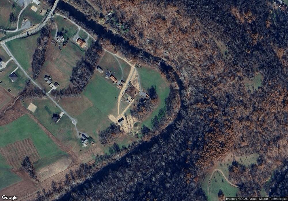
Map
Nearby Homes
- 96 Dunkard Valley Blvd
- TBD Fawn Meadow Dr
- 135 Fawn Meadow Dr
- TBD Mount Morris Rd
- 135 Virginia St
- 104 Caddie Ct
- 108 Caddie Ct
- 322 Wilson Rd
- 143 Tee Dr
- 127 Tee Dr
- 426 Oakmont Ct
- 109 Tee Dr
- 145 Eagle Dr
- 132 Eagle Dr
- 224 Meadow Ponds Ln
- 494 Watson Dr
- 924 Bunker Ct
- 918 Bunker Ct
- 916 Bunker Ct
- 912 Bunker Ct
- 3 Amrita Dr
- 266 Buckeye Rd
- 160 Buckeye Rd
- 1 Amrita Dr
- 281 Buckeye Rd
- 406 Buckeye Rd
- 482 Buckeye Rd
- 363 Buckeye Rd
- 377 Buckeye Rd
- 500 Buckeye Rd
- 471 Buckeye Rd
- 467 Buckeye Rd
- 467 Buckeye Rd
- 441 Buckeye Rd
- 347 Buckeye Rd
- 73 Cosgray Run Rd
- 542 Buckeye Rd
- 373 Buckeye Rd
- 495 Buckeye Rd
- 3118 Mason Dixon Hwy
Your Personal Tour Guide
Ask me questions while you tour the home.