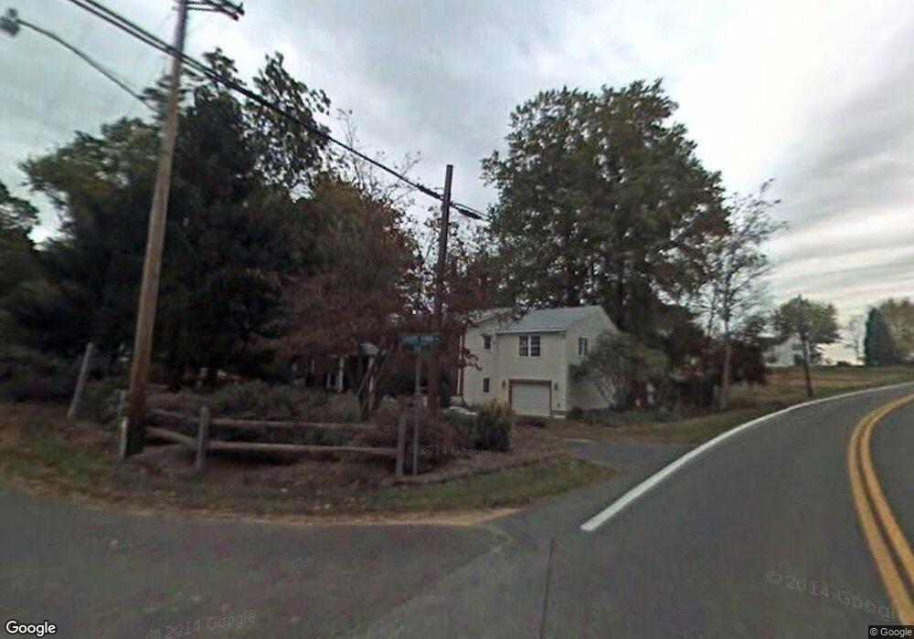
172 Calvert Towne Rd Prince Frederick, MD 20678
Estimated Value: $371,000 - $431,018
--
Bed
3
Baths
1,288
Sq Ft
$311/Sq Ft
Est. Value
About This Home
This home is located at 172 Calvert Towne Rd, Prince Frederick, MD 20678 and is currently estimated at $400,255, approximately $310 per square foot. 172 Calvert Towne Rd is a home located in Calvert County with nearby schools including Calvert Elementary School, Calvert Middle School, and Calvert High School.
Ownership History
Date
Name
Owned For
Owner Type
Purchase Details
Closed on
May 22, 2004
Sold by
Martin William H and Martin Karen B
Bought by
Proctor Mark
Current Estimated Value
Purchase Details
Closed on
Feb 21, 2002
Sold by
Provident Bank
Bought by
Martin William H and Martin Karen B
Purchase Details
Closed on
Oct 31, 2001
Sold by
Dawson Patricica L
Bought by
Provident Bank
Create a Home Valuation Report for This Property
The Home Valuation Report is an in-depth analysis detailing your home's value as well as a comparison with similar homes in the area
Home Values in the Area
Average Home Value in this Area
Purchase History
| Date | Buyer | Sale Price | Title Company |
|---|---|---|---|
| Proctor Mark | $268,000 | -- | |
| Martin William H | $149,000 | -- | |
| Provident Bank | $159,000 | -- |
Source: Public Records
Mortgage History
| Date | Status | Borrower | Loan Amount |
|---|---|---|---|
| Closed | Martin William H | -- |
Source: Public Records
Tax History Compared to Growth
Tax History
| Year | Tax Paid | Tax Assessment Tax Assessment Total Assessment is a certain percentage of the fair market value that is determined by local assessors to be the total taxable value of land and additions on the property. | Land | Improvement |
|---|---|---|---|---|
| 2025 | $3,401 | $300,167 | $0 | $0 |
| 2024 | $3,165 | $278,800 | $98,800 | $180,000 |
| 2023 | $2,951 | $269,233 | $0 | $0 |
| 2022 | $2,849 | $259,667 | $0 | $0 |
| 2021 | $2,681 | $250,100 | $98,800 | $151,300 |
| 2020 | $2,681 | $242,933 | $0 | $0 |
| 2019 | $2,615 | $235,767 | $0 | $0 |
| 2018 | $2,527 | $228,600 | $98,800 | $129,800 |
| 2017 | $2,558 | $228,600 | $0 | $0 |
| 2016 | -- | $228,600 | $0 | $0 |
| 2015 | $2,889 | $243,400 | $0 | $0 |
| 2014 | $2,889 | $243,400 | $0 | $0 |
Source: Public Records
Map
Nearby Homes
- 667 Hawk Hill Dr
- 103 Westlake Blvd
- 447 Dark Star Way
- 360 Whirlaway Dr
- 365 Equestrian Way
- 125 Polo Way
- 49 Thoroughbred Dr
- 579 English Oak Ln
- 240 Mason Rd
- 380 Mason Rd
- 85 Mason Rd
- 0 Armory Rd
- 592 Burr Oak Ct
- The Benedict A Plan at Patuxent Commons
- The Benedict B2 Plan at Patuxent Commons
- The Benedict C Plan at Patuxent Commons
- 185 Radio Dr
- 86 Potomac Ct
- 84 Potomac Ct
- 82 Potomac Ct
- 166 Calvert Towne Rd
- 930 Main St
- 920 Main St
- 160 Calvert Towne Rd
- 147 Calvert Towne Rd
- 910 Main St
- 121 Calvert Towne Way
- 905 Main St
- 980 Main St
- 141 Calvert Towne Rd
- 870 Solomons Island Rd S
- 146 Calvert Towne Rd
- 135 Calvert Towne Rd
- 959 Fairwood Ln
- 963 Fairwood Ln
- 110 Calvert Towne Way
- 155 Rachaels Way
- 120 Calvert Towne Way
- 885 Main St
- 955 Fairwood Ln