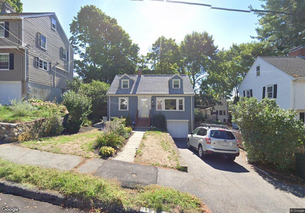
172 Cedar Ave Unit 1 Arlington, MA 02476
Arlington Heights NeighborhoodEstimated Value: $993,000 - $1,167,000
3
Beds
2
Baths
1,344
Sq Ft
$812/Sq Ft
Est. Value
About This Home
This home is located at 172 Cedar Ave Unit 1, Arlington, MA 02476 and is currently estimated at $1,091,540, approximately $812 per square foot. 172 Cedar Ave Unit 1 is a home located in Middlesex County with nearby schools including Brackett Elementary School, Ottoson Middle School, and Arlington High School.
Ownership History
Date
Name
Owned For
Owner Type
Purchase Details
Closed on
Sep 30, 2008
Sold by
Flannery Eileen L
Bought by
Paul Bernhard J and Paul Marita
Current Estimated Value
Home Financials for this Owner
Home Financials are based on the most recent Mortgage that was taken out on this home.
Original Mortgage
$414,000
Interest Rate
6.57%
Mortgage Type
Purchase Money Mortgage
Purchase Details
Closed on
Oct 12, 2006
Sold by
Flannery Eileen L and Flannery Ralph E
Bought by
Flannery Eileen L
Purchase Details
Closed on
Dec 31, 1991
Sold by
Woodford Norma G
Bought by
Flannery Ralph E and Ruggieri Eileen L
Home Financials for this Owner
Home Financials are based on the most recent Mortgage that was taken out on this home.
Original Mortgage
$148,200
Interest Rate
8.62%
Mortgage Type
Purchase Money Mortgage
Create a Home Valuation Report for This Property
The Home Valuation Report is an in-depth analysis detailing your home's value as well as a comparison with similar homes in the area
Home Values in the Area
Average Home Value in this Area
Purchase History
| Date | Buyer | Sale Price | Title Company |
|---|---|---|---|
| Paul Bernhard J | $460,000 | -- | |
| Flannery Eileen L | -- | -- | |
| Flannery Ralph E | $160,000 | -- |
Source: Public Records
Mortgage History
| Date | Status | Borrower | Loan Amount |
|---|---|---|---|
| Open | Flannery Ralph E | $404,500 | |
| Closed | Paul Bernhard J | $414,000 | |
| Previous Owner | Flannery Ralph E | $100,000 | |
| Previous Owner | Flannery Ralph E | $153,000 | |
| Previous Owner | Flannery Ralph E | $148,200 |
Source: Public Records
Tax History Compared to Growth
Tax History
| Year | Tax Paid | Tax Assessment Tax Assessment Total Assessment is a certain percentage of the fair market value that is determined by local assessors to be the total taxable value of land and additions on the property. | Land | Improvement |
|---|---|---|---|---|
| 2025 | $9,670 | $897,900 | $551,000 | $346,900 |
| 2024 | $8,936 | $843,800 | $528,900 | $314,900 |
| 2023 | $8,183 | $730,000 | $462,800 | $267,200 |
| 2022 | $7,948 | $696,000 | $440,800 | $255,200 |
| 2021 | $7,795 | $687,400 | $440,800 | $246,600 |
| 2020 | $7,603 | $687,400 | $440,800 | $246,600 |
| 2019 | $7,185 | $638,100 | $413,200 | $224,900 |
| 2018 | $6,872 | $566,500 | $341,600 | $224,900 |
| 2017 | $6,770 | $539,000 | $314,100 | $224,900 |
| 2016 | $6,546 | $511,400 | $286,500 | $224,900 |
| 2015 | $6,668 | $492,100 | $281,000 | $211,100 |
Source: Public Records
Map
Nearby Homes
- 39 Chester St
- 305 Park Ave
- 789 Concord Turnpike
- 278 Hillside Ave
- 37 Fountain Rd Unit 2
- 50 Hathaway Cir
- 152 Scituate St
- 141 Renfrew St
- 77 Wellesley Rd
- 72 Hathaway Cir
- 10 Stevens Terrace
- 53 Crestview Rd
- 155 Highland Ave Unit 1
- 84 School St
- 39 Birch Hill Rd
- 70 Birch Hill Rd
- 142 Highland Ave Unit 142
- 170 Clifton St
- 135 Marsh St
- 33 Newport St